Spring Canyon Adventure 2007 – Day 5
Synopsis: Backpack from T— Canyon into S— Canyon. 10.5 miles. Friday, March 16.
We got up a little earlier than usual and began preparing to backpack down to the mouth of T— Canyon and then over and up S— Canyon.
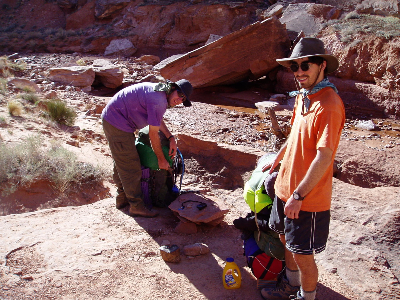
![[pc/p3160058.jpg]](pc/p3160058.jpg.medium)
|
Nearly ready to go.
Photo by Charles
Yeamans. |
![[pr/img_0699.jpg]](pr/img_0699.jpg.medium)
|
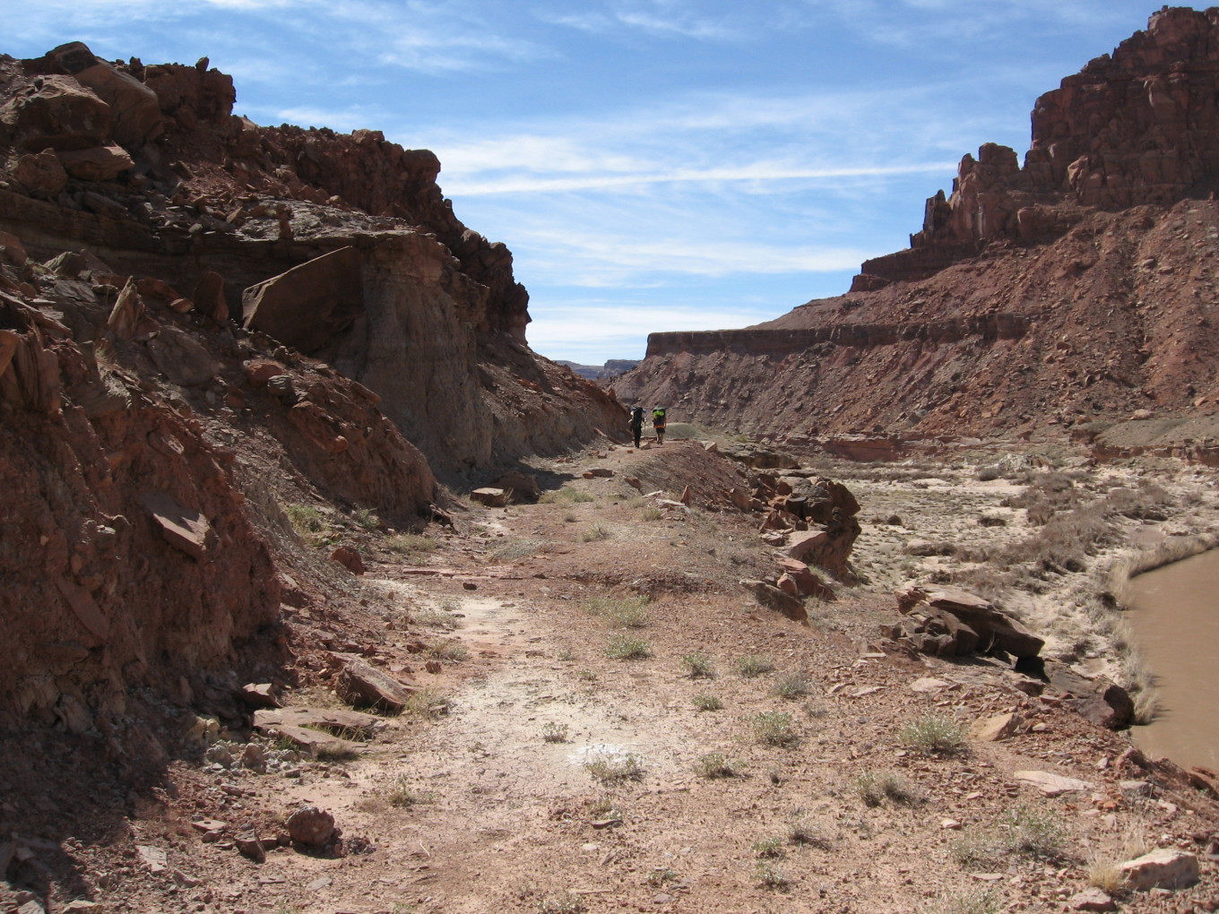
A few bends up from the mouth of T— Canyon. |
![[pr/img_0700.jpg]](pr/img_0700.jpg.medium)
|
Charles. |
![[pr/img_0702_joined.jpg]](pr/img_0702_joined.jpg.medium)
|
|
Lower T— Canyon. |
It took us less than an hour to reach the mouth. There was a mining road leading up a hill to the left. It went in the direction we wanted to go, so we took it.
![[pr/img_0707_joined.jpg]](pr/img_0707_joined.jpg.medium)
|
|
Hill overlooking the wide river valley. Mouth of T— Canyon is at right, while our way down from B— Point is in the cleft to the right of the shadowed bluff at center. |
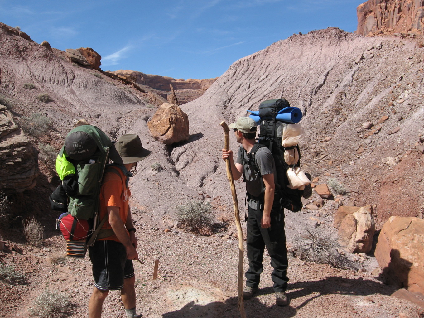
On top of the hill, the mining road vanished.
![[pr/img_0717.jpg]](pr/img_0717.jpg.medium)
|
Charles and Andy above the river. The prominent bend is where we would cross a few days later. |
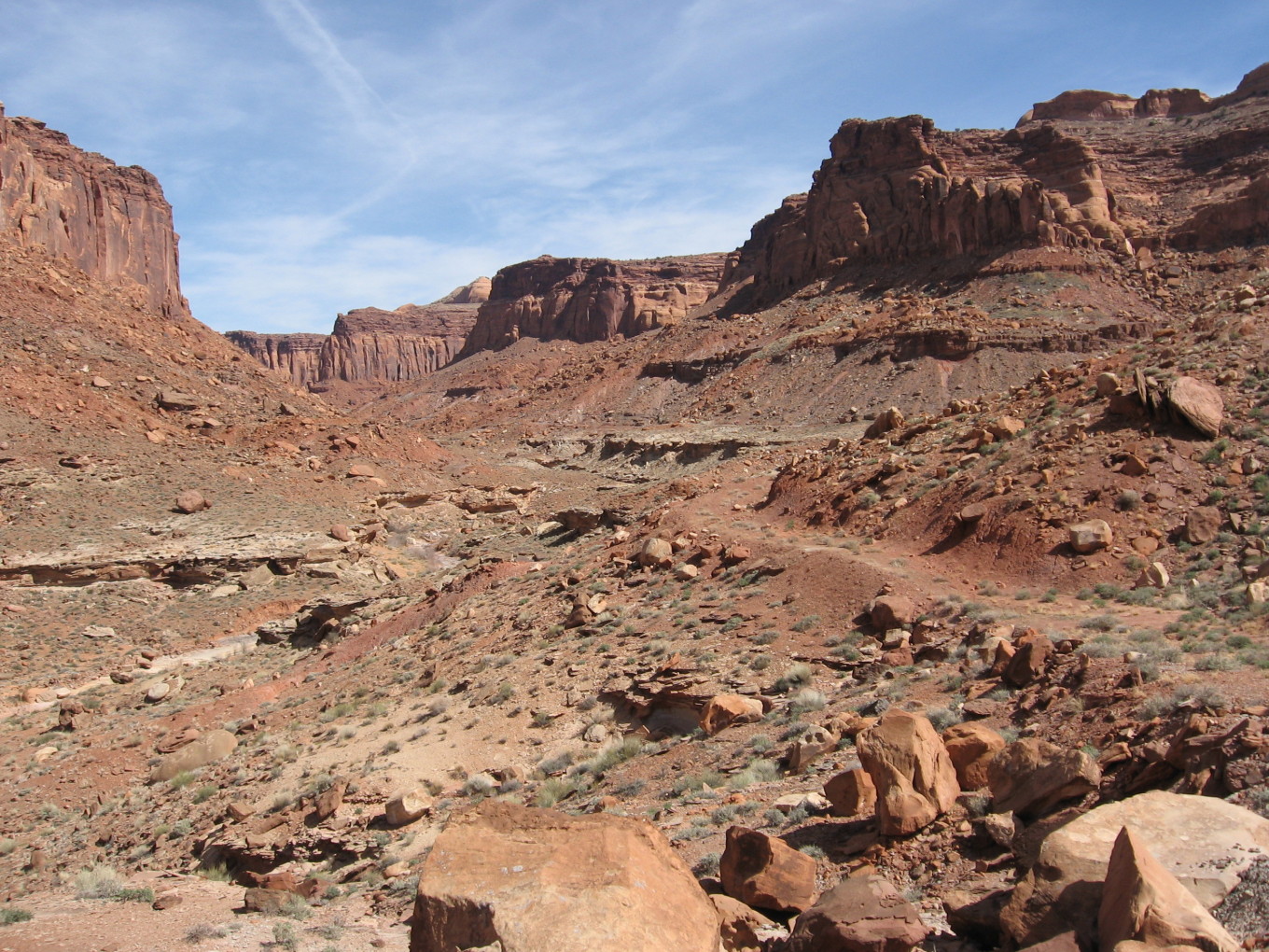
After laboriously winding through several hundred yards of loose hills and talus, we regained a mining road and followed it. It led along the top of a small cliff over an outside bend of the river, perhaps saving us two crossings.
![[pr/img_0721_joined.jpg]](pr/img_0721_joined.jpg.medium)
|
|
Another great view of the river canyon, this one looking back along the mining road that saved us a pair of river crossings. |
![[pr/img_0725.jpg]](pr/img_0725.jpg.medium)
|
Embedded in the larger gray mud cliff in the middleground are a couple of huge petrified logs, one about 16 inches in diameter. Note Andy and Charles about to round the bend ahead. |
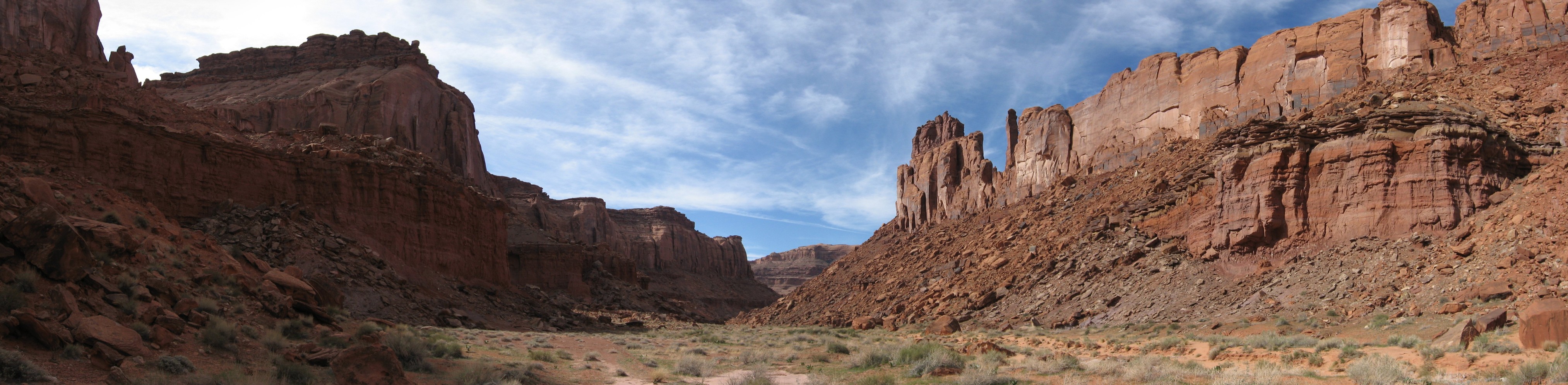
Soon the road descended steeply into the wash of S— Canyon. We followed it down, then crossed to a shady spot at the bottom of a slope, where we took a break.
We had seen more mining roads on the flats above the slope on the other side, so we climbed up to meet them. It was hellish, the slope being very steep and formed of loose, rounded ancient river rocks. It was a three-steps-forward, two-steps-back kind of affair.
Finally, we gained the top and found another old road several hundred yards along. This we would follow for the next two miles or so.
![[pr/img_0726.jpg]](pr/img_0726.jpg.medium)
|
Inert yellow stone sitting upon purple dirt, with observers. |
![[pr/img_0727.jpg]](pr/img_0727.jpg.medium)
|
Mining road winding its way ponderously up lower S— Canyon. |
![[pr/img_0728.jpg]](pr/img_0728.jpg.medium)
|
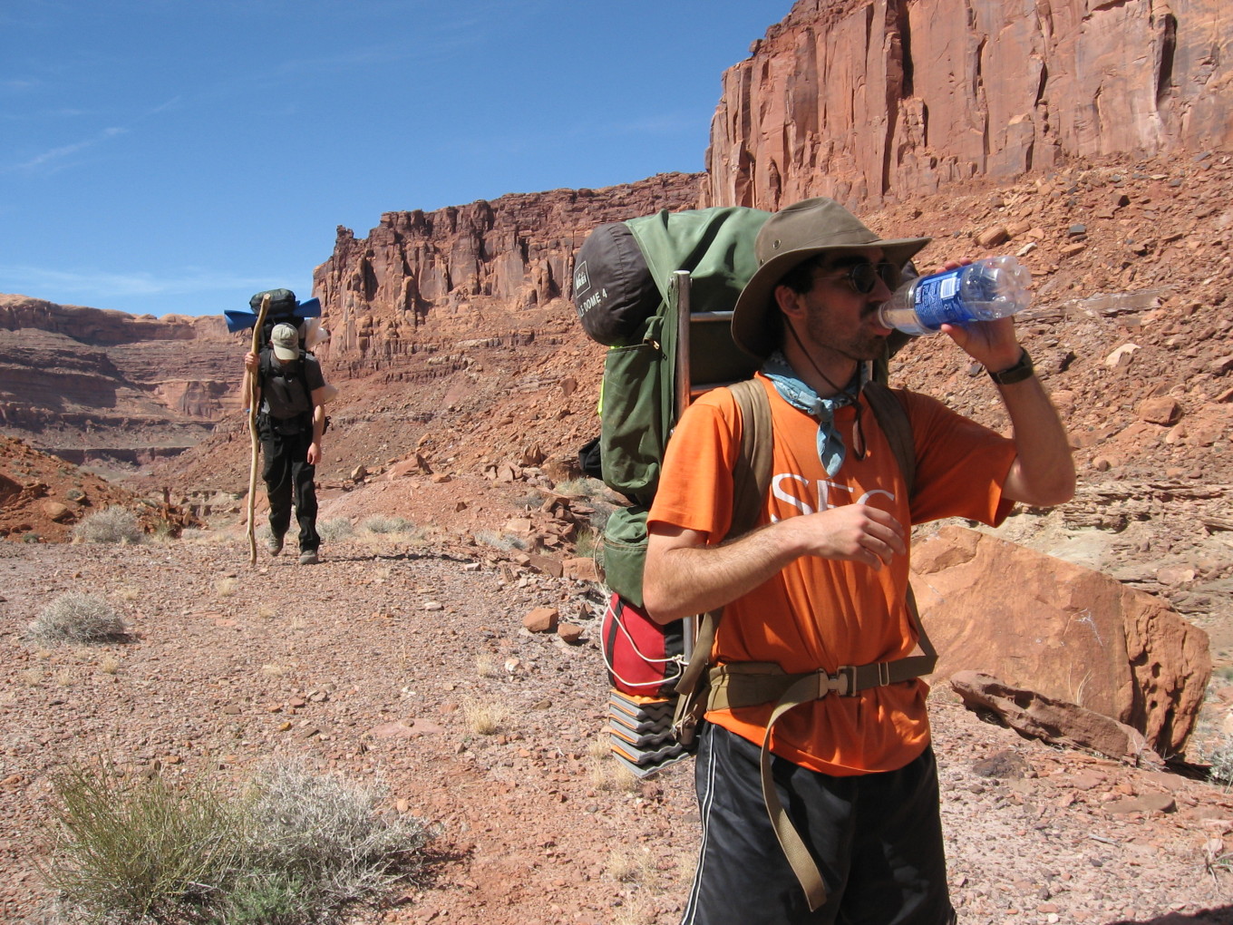
Andy is thirsty. |
It was a very long stretch, with the road winding in an out of every wash and not making much effort to stay level.
Finally, it descended back to the wash, arriving at the top of a small section of slots, where there was a nice, shady ledge for lunch. We were pretty hungry, it being nearly two hours after noon.
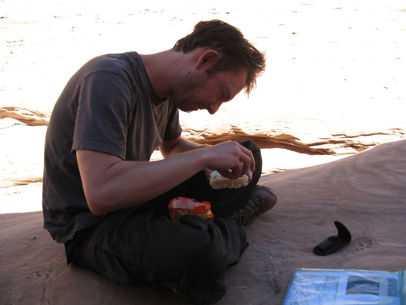
![[pr/img_0729.jpg]](pr/img_0729.jpg.medium)
|
Dry ramen with dry seasoning. |
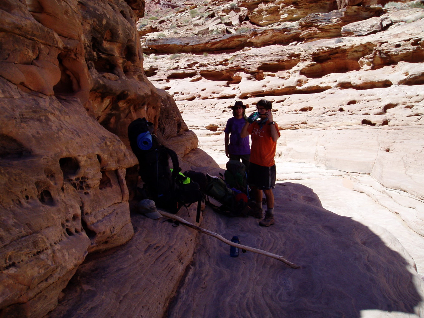
![[pc/p3160060.jpg]](pc/p3160060.jpg.medium)
|
Packed up at our lunch spot.
Photo by
Charles Yeamans. |
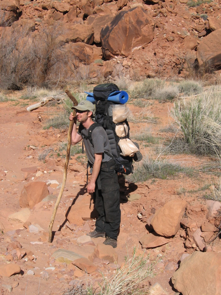
We proceeded upcanyon, this time staying in the wash, since the road had pretty much disappeared.
![[pr/img_0731.jpg]](pr/img_0731.jpg.medium)
|
Mysterious pipe embedded in the wash. |
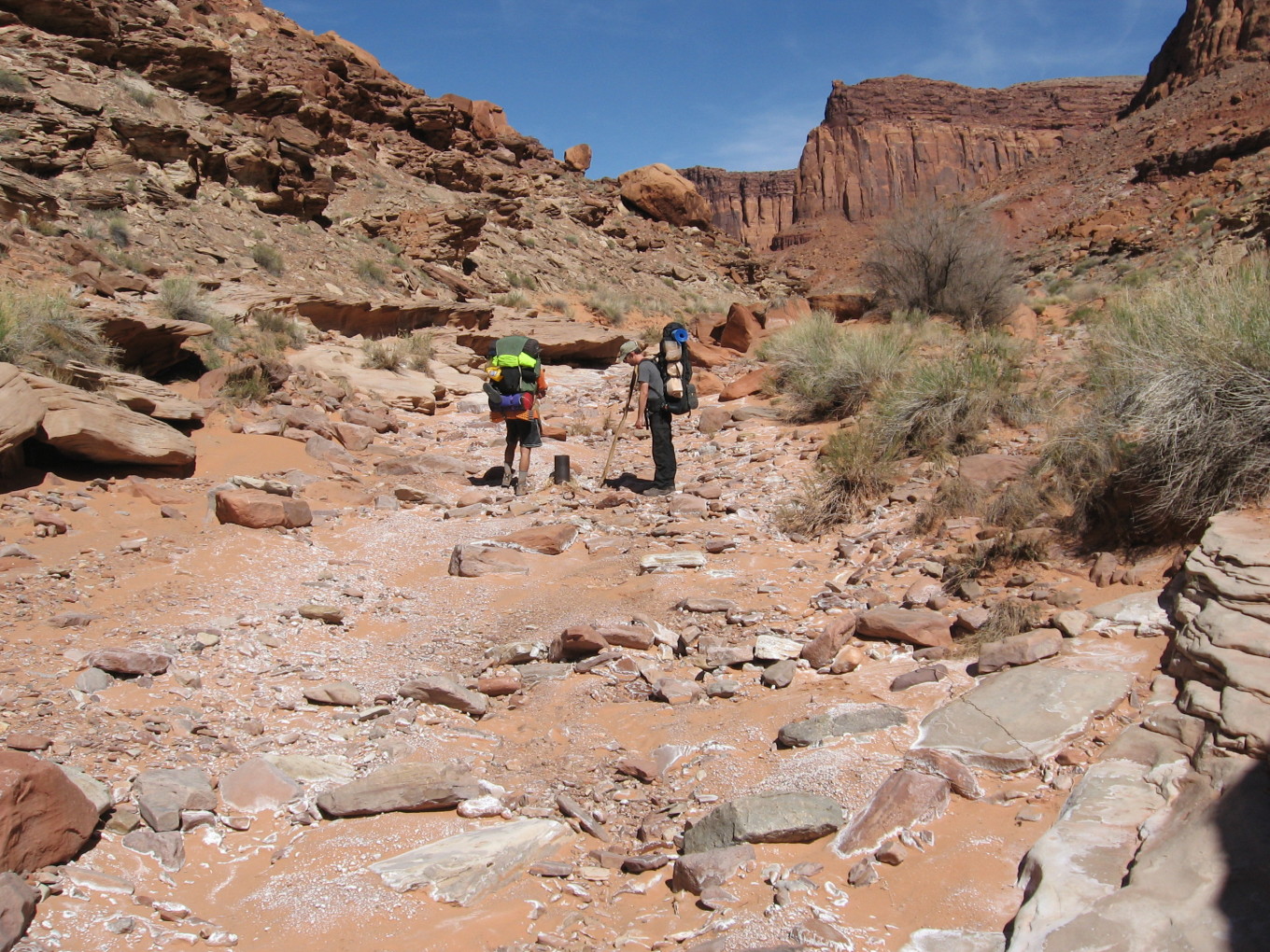
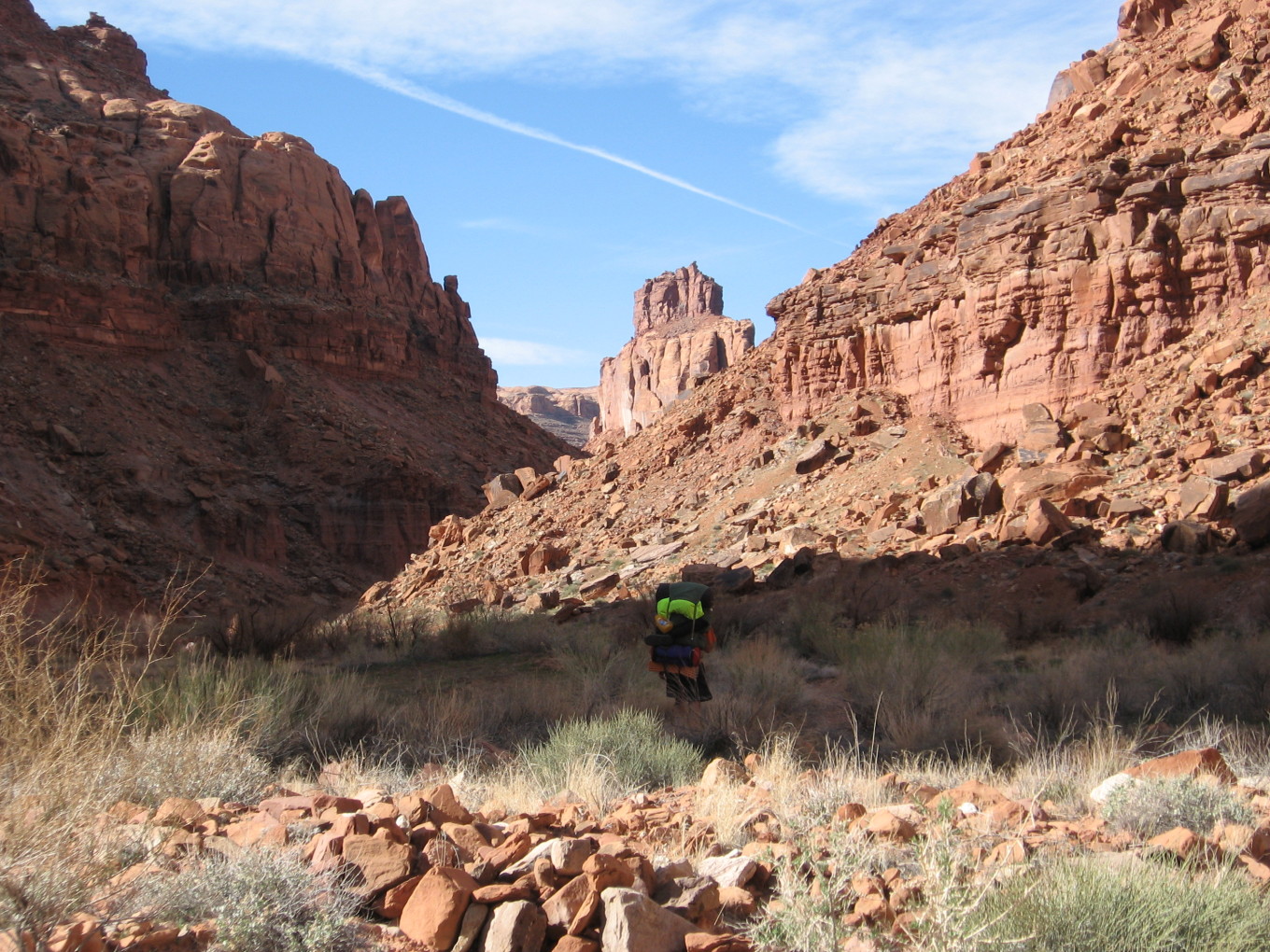
Soon the flowing water began, and then we passed the large tributary which brought down the flow from from S— Mesa Spring.
The canyon turned to the right and tightened. We were getting more and more tired, and began looking for a camp spot. But there wasn’t anything good — this section of the canyon ran east-west and would be hot and sunny from early morning to late afternoon — and then the water dried up. So, we plodded on.
Taking a break, we looked at the map. A mile further on, the canyon took a turn south, suggesting better shade, and there was a side canyon coming in a little before. It seemed promising.
We hiked on, and the walls continued to rise. The side canyon was filled with rubble, but when the canyon turned and we crossed into shade, there was a fine, flat bench covered with sage bushes and another possibility across the river under a cottonwood tree. A little more scouting, and we chose the sage bench. (This location was half a mile beyond our overlook from the previous day, much farther up than I had expected to get.)
Home at last! Dinner was Hamburger Helper stroganoff, rather uninspiring and meager. We supplemented with some freeze-dried sweet-n-sour chicken Andy brought.
A bonus feature of this camp was a small collection of tumbleweeds and flammable-looking tamarisks scattered around.
![[pr/img_0733.jpg]](pr/img_0733.jpg.medium)
|
Andy burning stuff. |
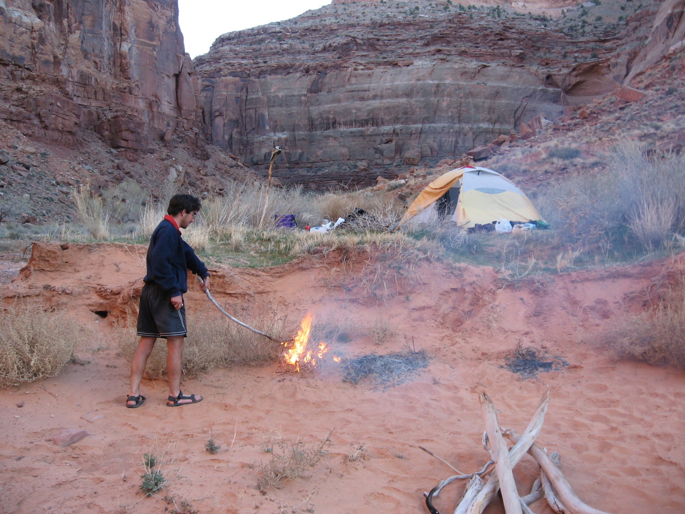
![[pa/dscf0025.jpg]](pa/dscf0025.jpg.medium)
|
Camp after supper, with me attempting to burn tamarisks in the background. |
Please continue reading on Day 6.