Spring Canyon Adventure 2007 – Day 4
Synopsis: Climb out of T— Canyon for great views and to peer into S— Canyon. 9.5 miles. Thursday, March 15.
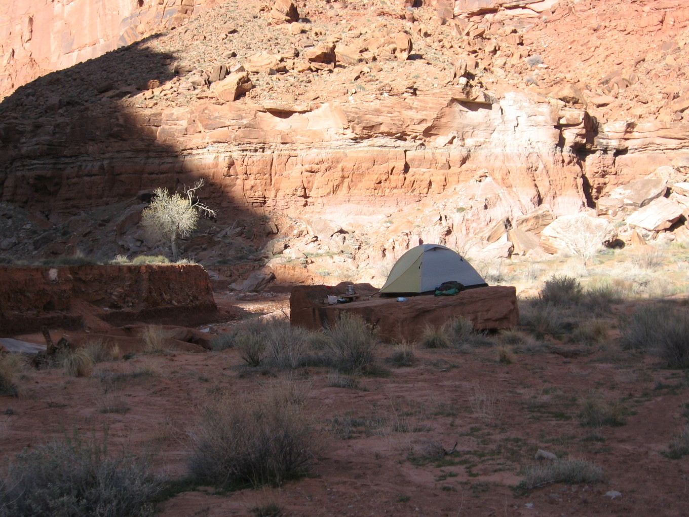
![[pr/img_0599.jpg]](pr/img_0599.jpg.medium)
|
Another day, another dollar. |
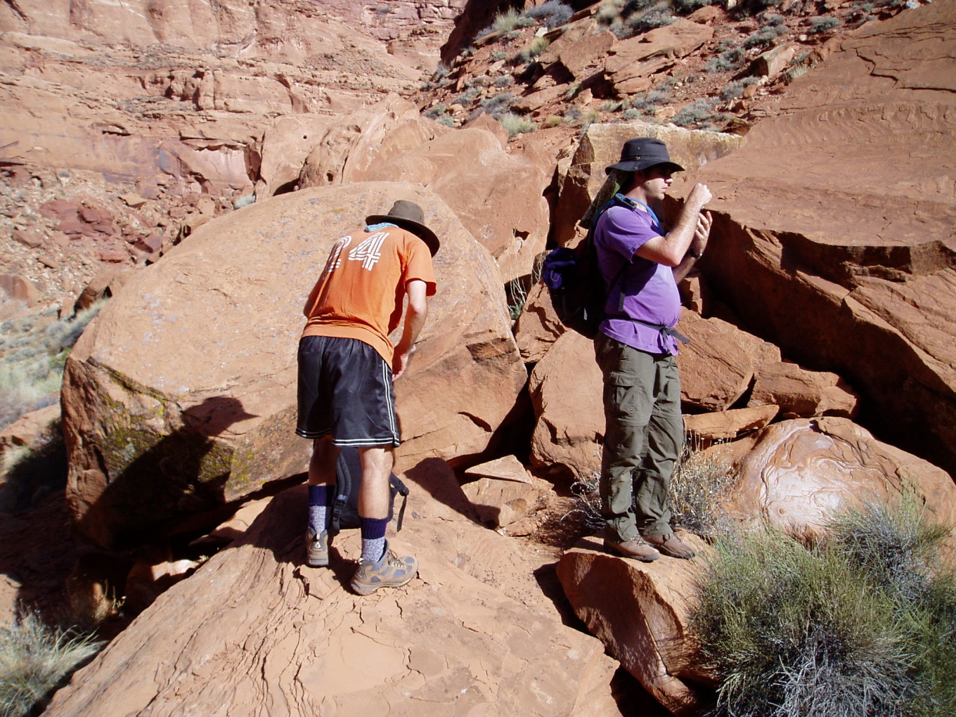
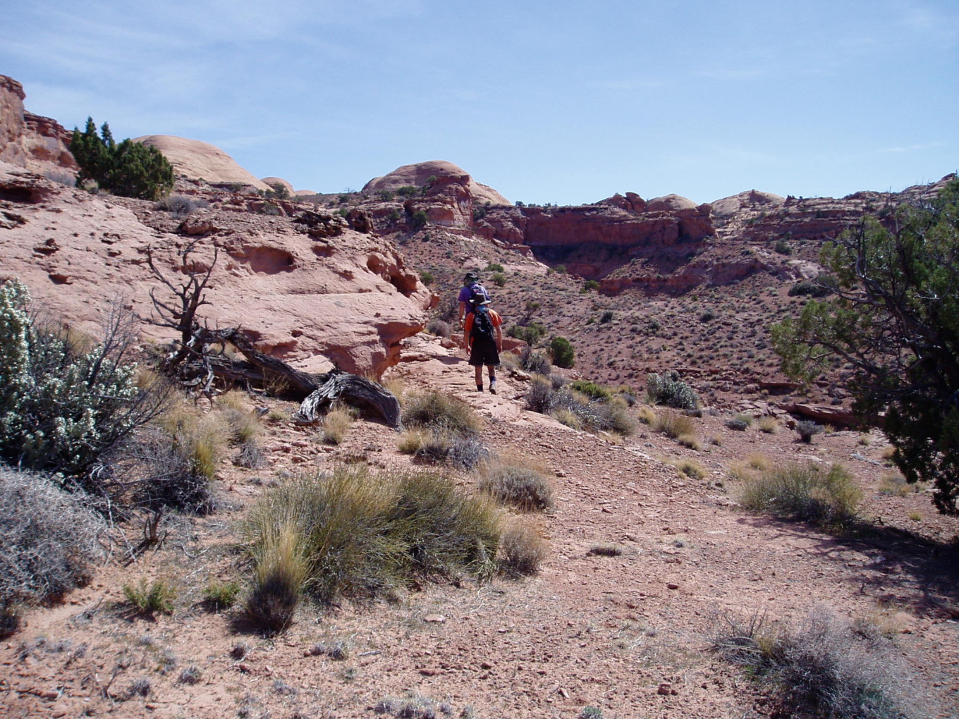
After breakfast, we headed up-canyon. The destination was a side canyon that supposedly (according to the guidebook) held a cattle trail up to the top.
45 minutes later we were at the tributary in question.
![[pc/p3150035.jpg]](pc/p3150035.jpg.medium)
|
Lost again.
Photo by Charles
Yeamans. |
![[pr/img_0602.jpg]](pr/img_0602.jpg.medium)
|
Cattle trail? |
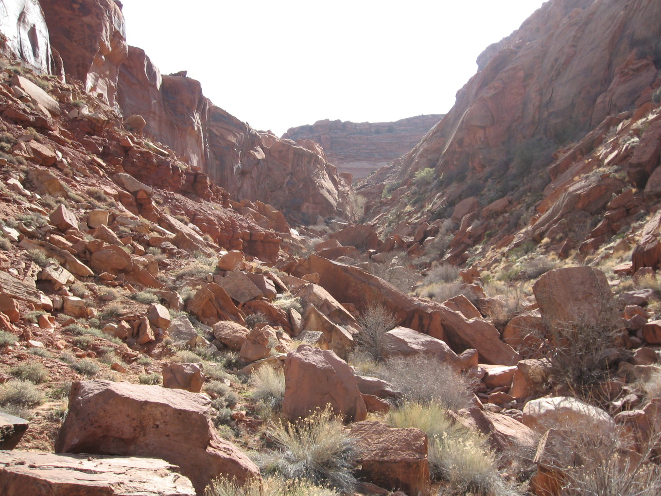
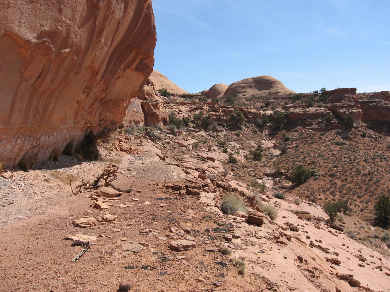
The canyon consisted basically of a heap of boulders. When we weren’t climbing over washing-machine-size rocks, we were climbing over house-sized ones.
![[pr/img_0605.jpg]](pr/img_0605.jpg.medium)
|
I would like to see those cows. |
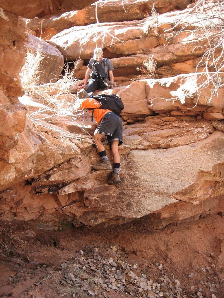
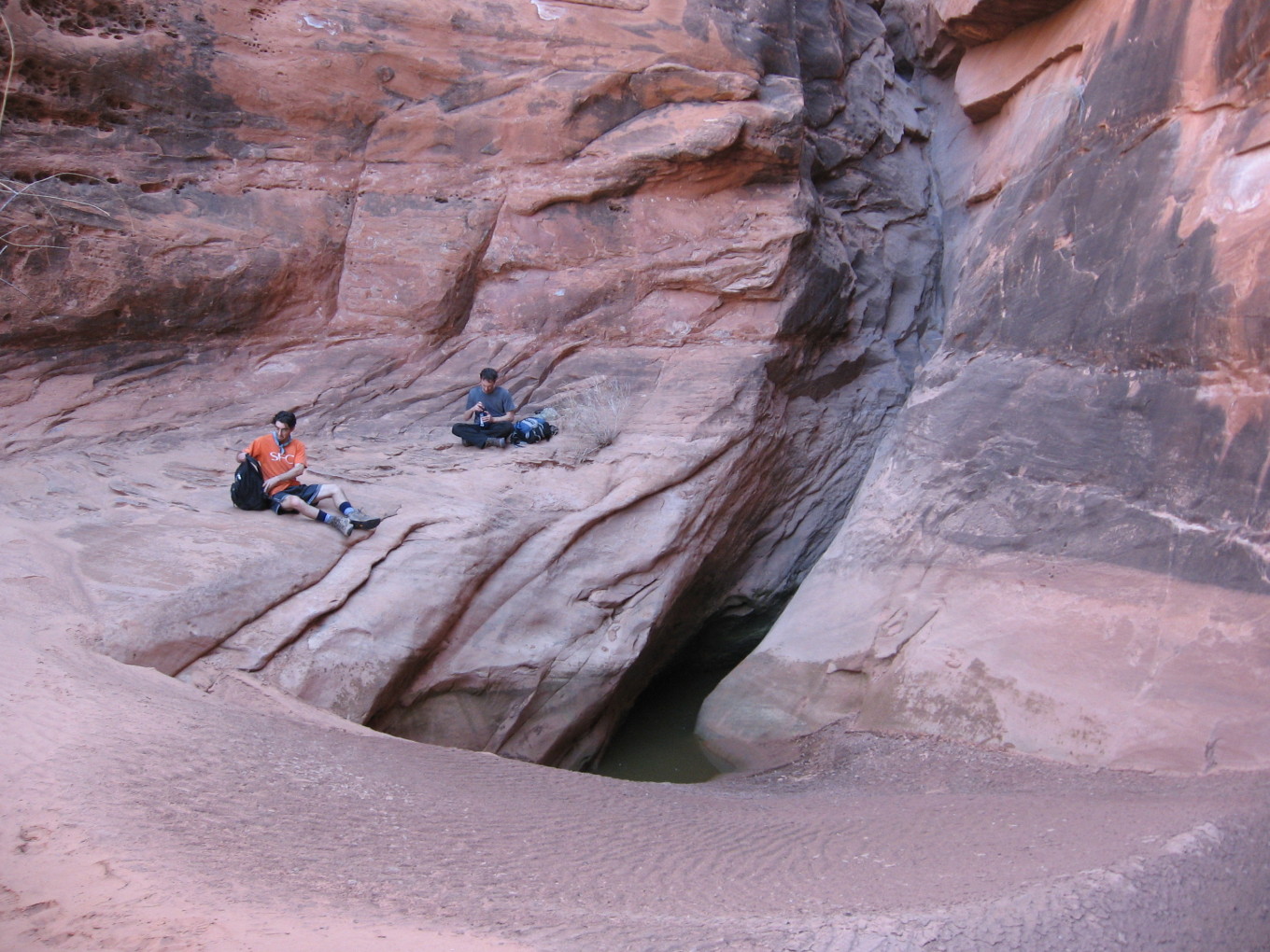
Soon we came to a shady grotto and a winding slot that led steeply up to a fall. It reminded me of beef jerky.
![[pr/img_0606.jpg]](pr/img_0606.jpg.medium)
|
At the grotto. |
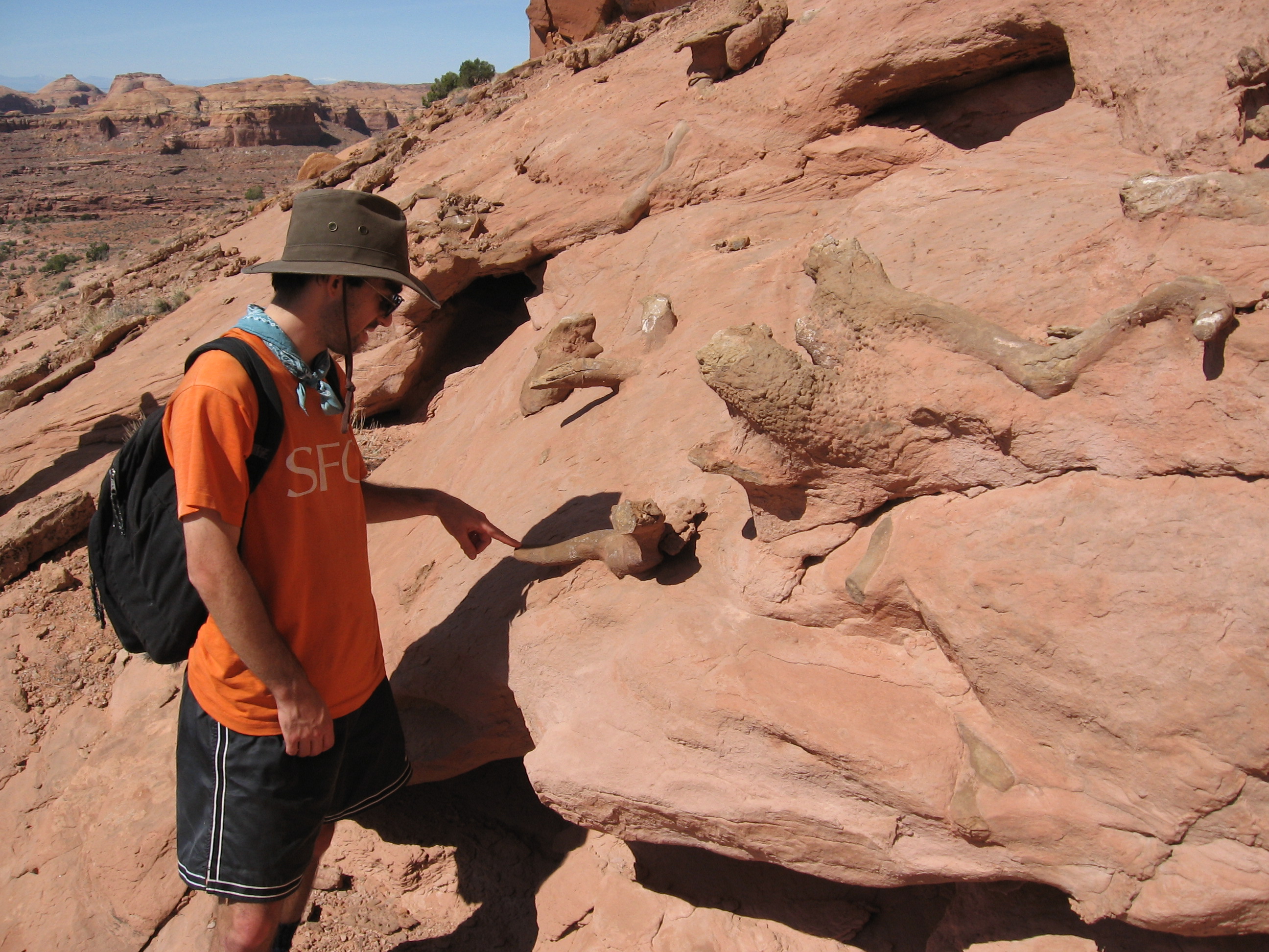
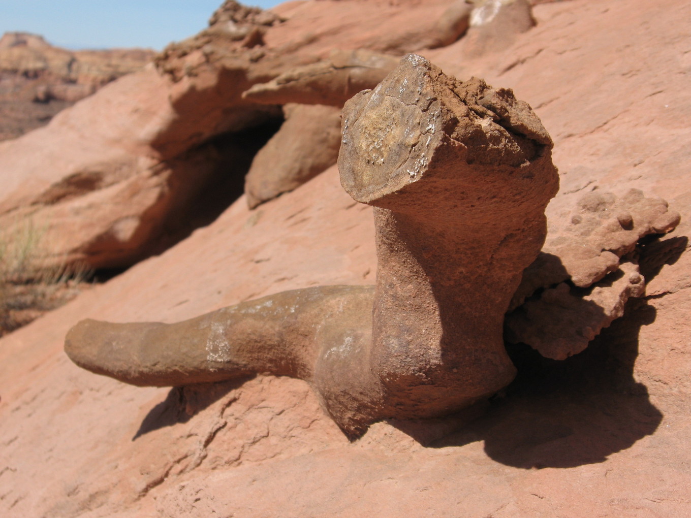
A little poking around revealed a crack system that seemed to lead upwards.
![[pc/p3150036.jpg]](pc/p3150036.jpg.medium)
|
Cows dead ahead!
Photo by Charles
Yeamans. |
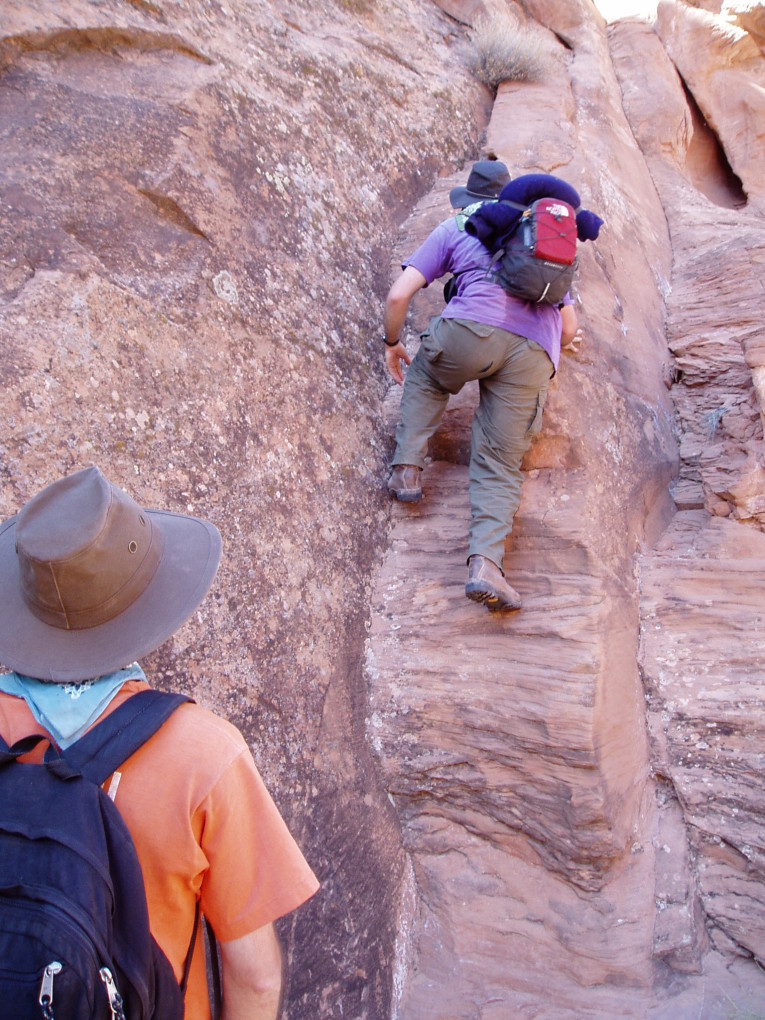
![[pc/p3150040.jpg]](pc/p3150040.jpg.medium)
|
Andy starts up in search of some cows.
Photo by Charles Yeamans. |
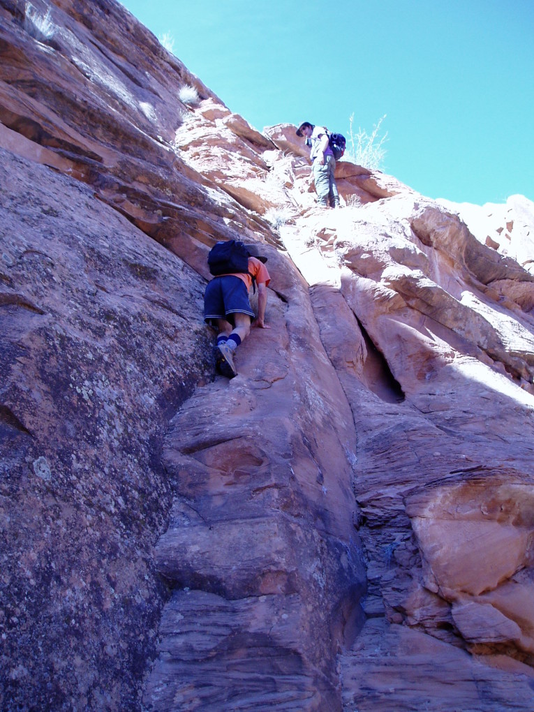
The climb up wasn’t hard, but it was a tad scary.
On top, it was a totally different world.
![[pc/p3150041.jpg]](pc/p3150041.jpg.medium)
|
Notice the abundant cow pies littered across the landscape.
Photo by Charles Yeamans. |
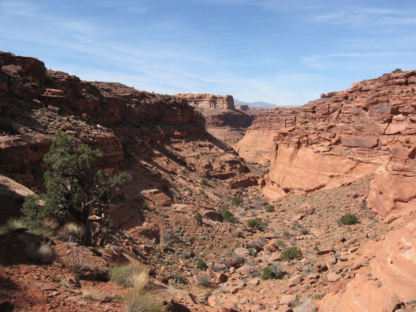
Before long, the canyon floor began to rise. No trace of a cattle trail, though. Eventually, we came upon a large blocking fall and an (apparent) choice of two talus piles to bypass it. We chose the right.
![[pr/img_0611.jpg]](pr/img_0611.jpg.medium)
|
About halfway up, looking back the way we came. Note the H— Mountains beginning to emerge. |
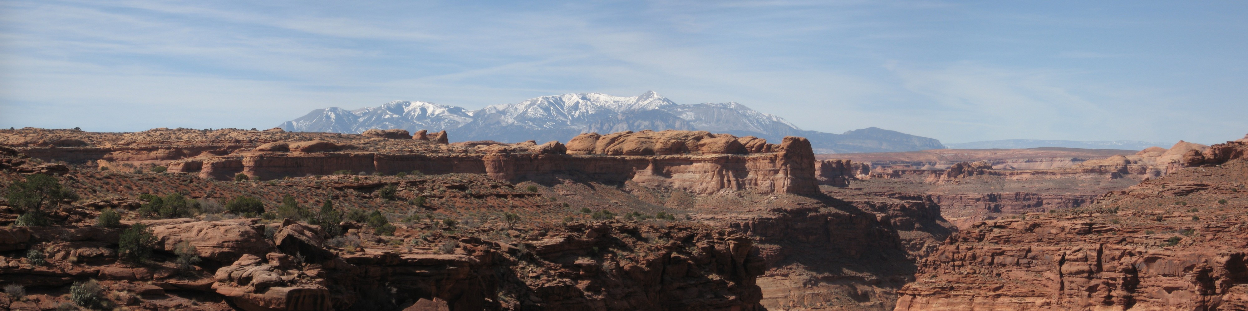
A little winding back and forth on ledges and scrambling up rocks brought us out on top. What a view!
![[pr/img_0639_joined.jpg]](pr/img_0639_joined.jpg.medium)
|
|
H— Mountains. |
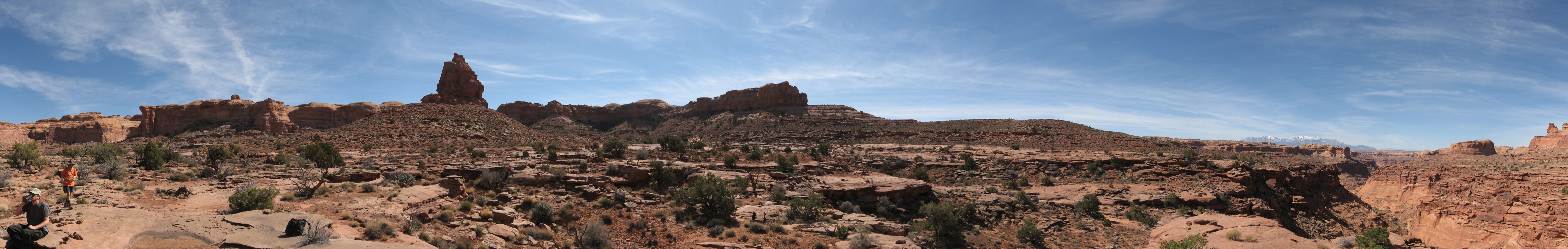
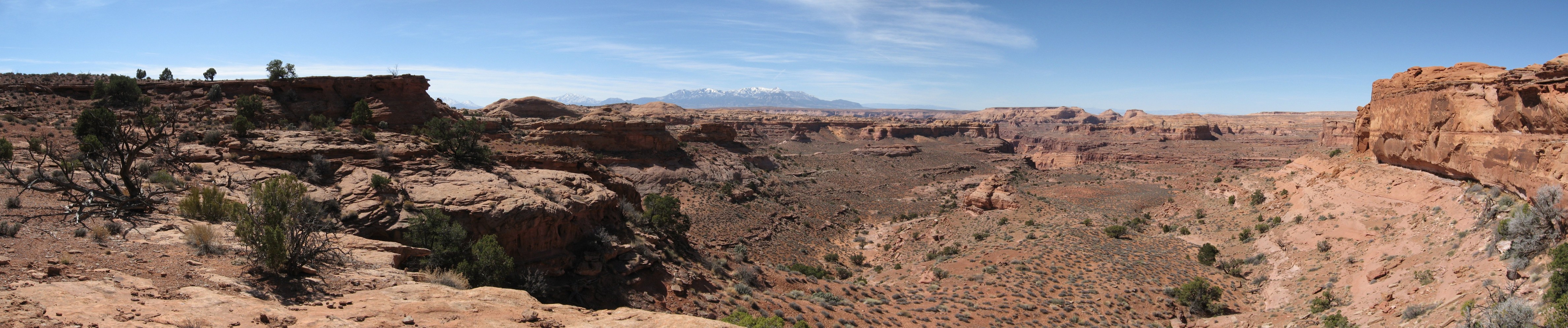
![[pr/img_0613_joined.jpg]](pr/img_0613_joined.jpg.medium)
|
|
Wide-open space on top of the Kayenta. Our tributary canyon is on the far right, as are the H— Mountains. Our eventual path leads to the right of the Navajo prow at center. |
![[pa/dscf0023.jpg]](pa/dscf0023.jpg.medium)
|
Obligatory meta-picture. All the cows are just out of the frame. In fact, a cow took this picture. |
The view made us hungry.
![[pr/img_0646.jpg]](pr/img_0646.jpg.medium)
|
Andy’s lo-cal diet lunch. |
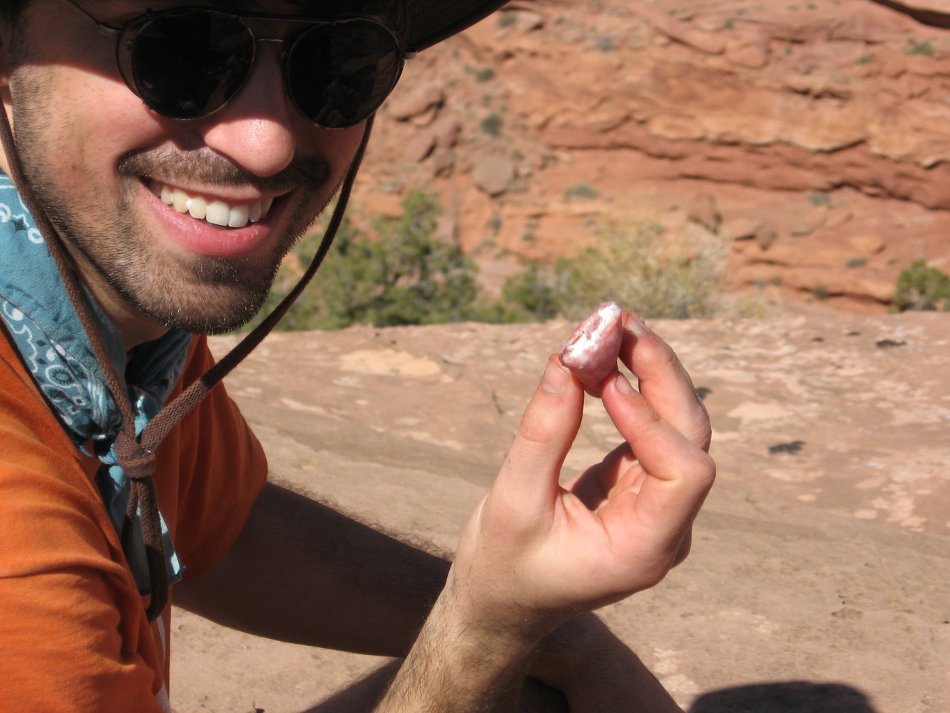
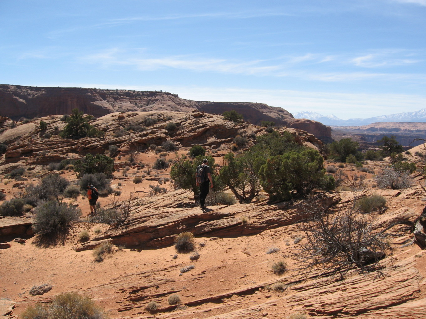
After lunch, we headed off to see what we could see. It was strange walking in such a wide open space. In some places there were perfectly flat rocks acres in size.
We headed in the direction of S— Canyon.
![[pc/p3150044.jpg]](pc/p3150044.jpg.medium)
|
There is a cow hiding behind that bush.
Photo by Charles Yeamans. |
![[pr/img_0647.jpg]](pr/img_0647.jpg.medium)
|
Our path goes up the broken area at the end of this ledge. |
![[pr/img_0652.jpg]](pr/img_0652.jpg.medium)
|
Andy touches funny rocks. |
![[pr/img_0656.jpg]](pr/img_0656.jpg.medium)
|
Funny rocks. |
We encountered some large footprints and followed them along, as they seemed to be going where we were. A couple of times we diverged and then found ourselves looking over a big cliff. It must have been a cowboy.
![[pr/img_0659_joined.jpg]](pr/img_0659_joined.jpg.medium)
|
|
Another fine view of the H— Mountains. |
![[pr/img_0676.jpg]](pr/img_0676.jpg.medium)
|
One more level up. The cliffs on the far side of S— Canyon are beginning to dominate. |
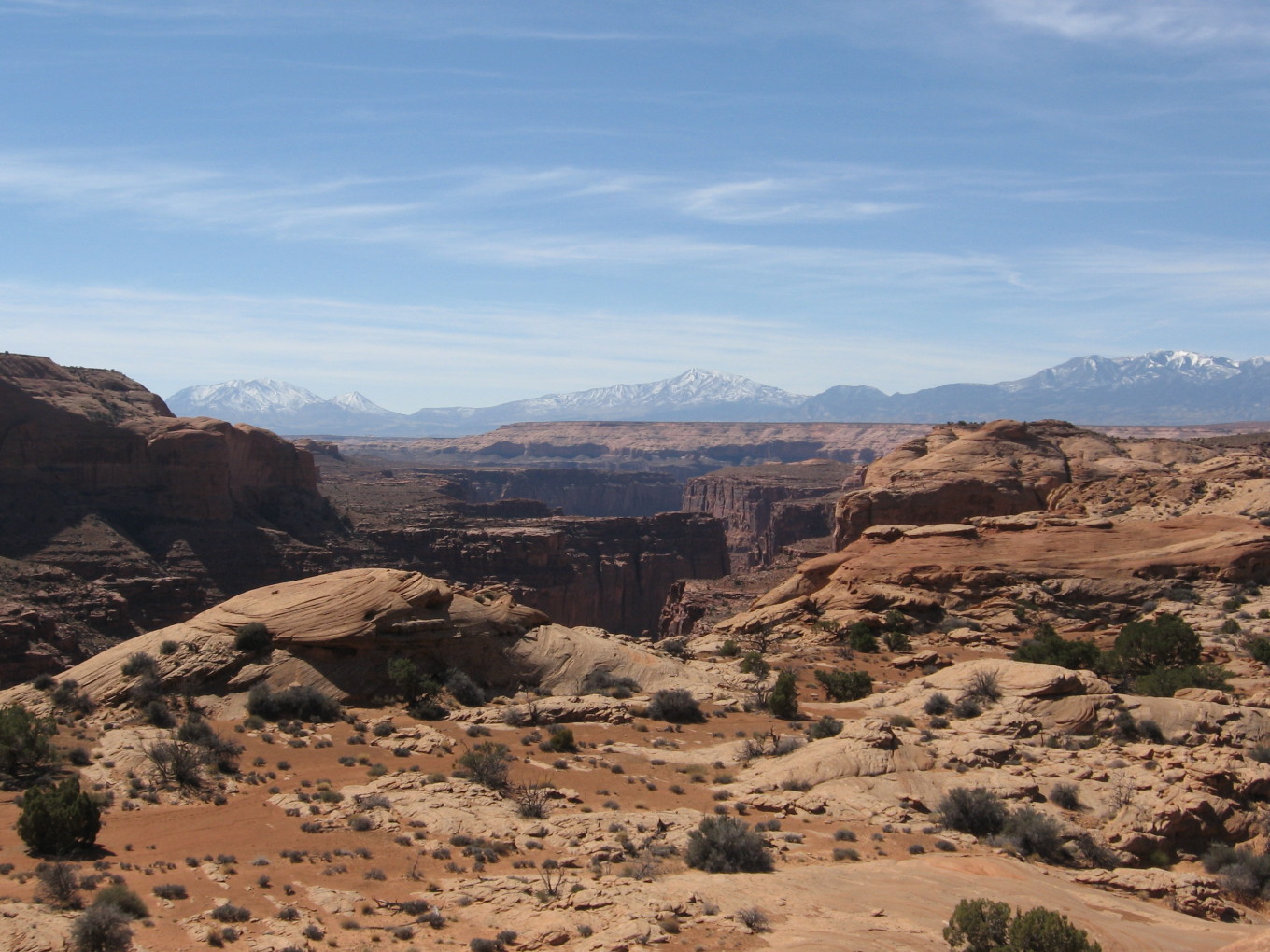
![[pr/img_0674.jpg]](pr/img_0674.jpg.medium)
|
Lower S— Canyon and the H— Mountains. |
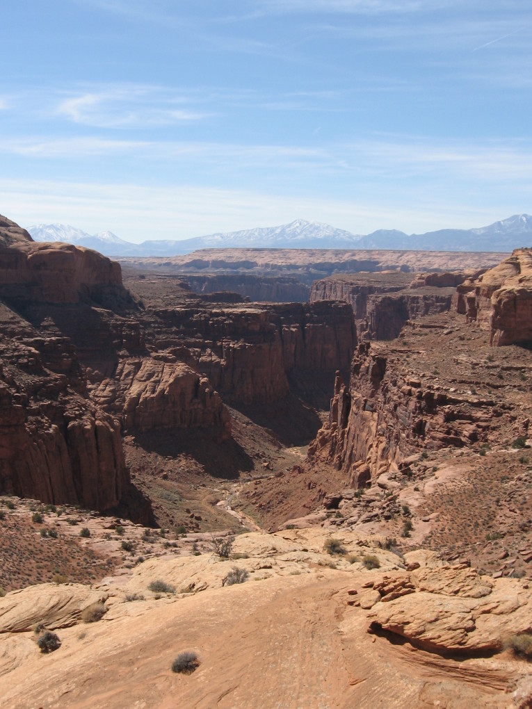
We topped another yellow hump and found ourselves looking hundreds and hundreds of feet down, all the way down to the bottom of S— Canyon.
![[pr/img_0677.jpg]](pr/img_0677.jpg.medium)
|
S— Canyon. |
Downstream looked pretty dry, but upstream there seemed to be some wet sand way down at the bottom. So, it seemed like it would be OK to hike around and into S— Canyon tomorrow.
We turned and headed back. Charles and I climbed another, bigger yellow mound while Andy waited in the shade.
![[pr/img_0679_joined.jpg]](pr/img_0679_joined.jpg.medium)
|
|
Big views on top of the mound. Charles is cleverly evading the cows with his sneaky movements. |
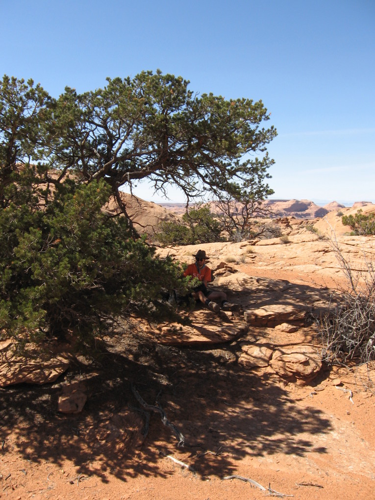
Back down at the bottom, we found Andy under a tree telling dirty knock-knock jokes to himself.
![[pr/img_0694.jpg]](pr/img_0694.jpg.medium)
|
Andy lurking. |
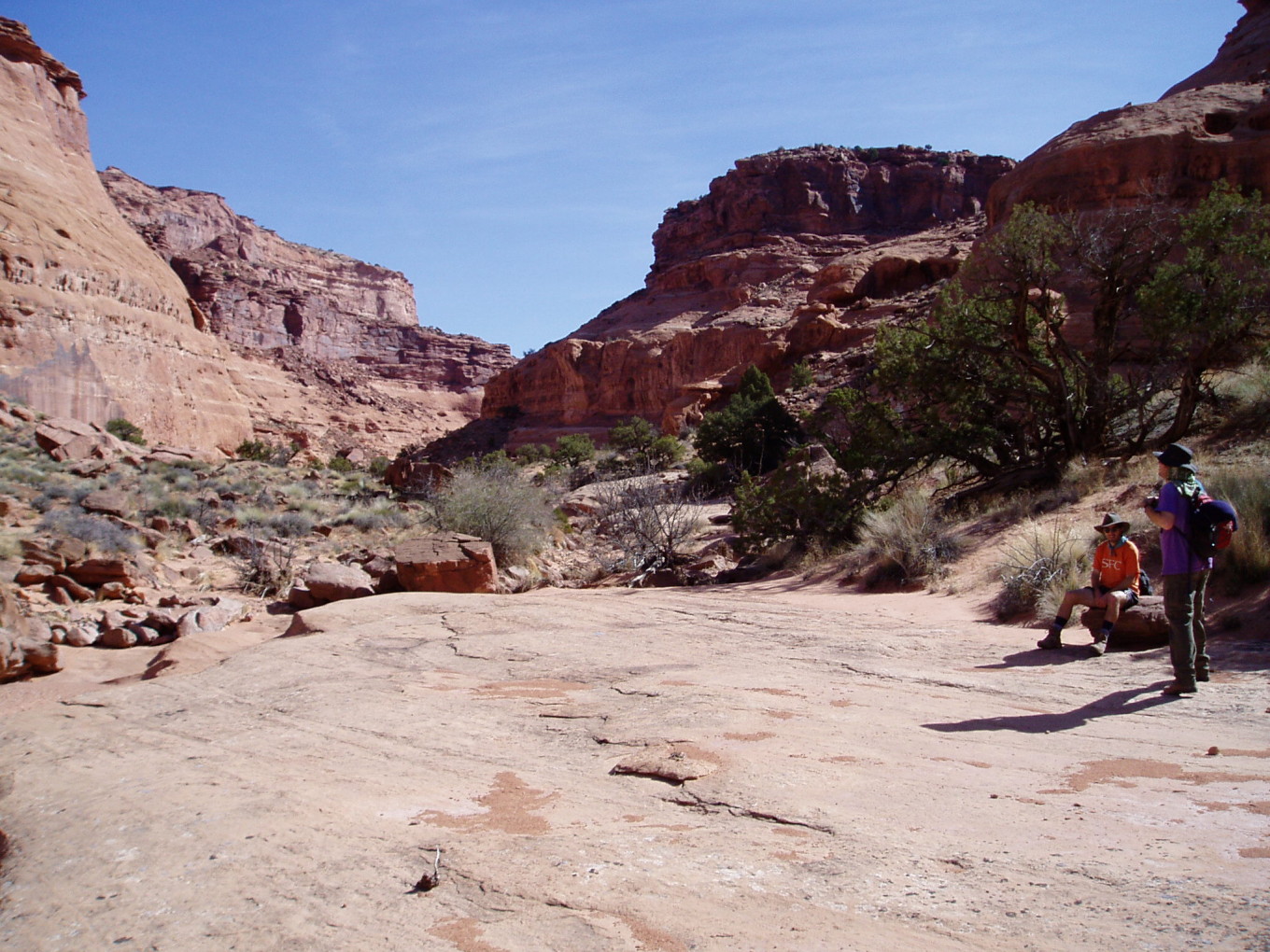
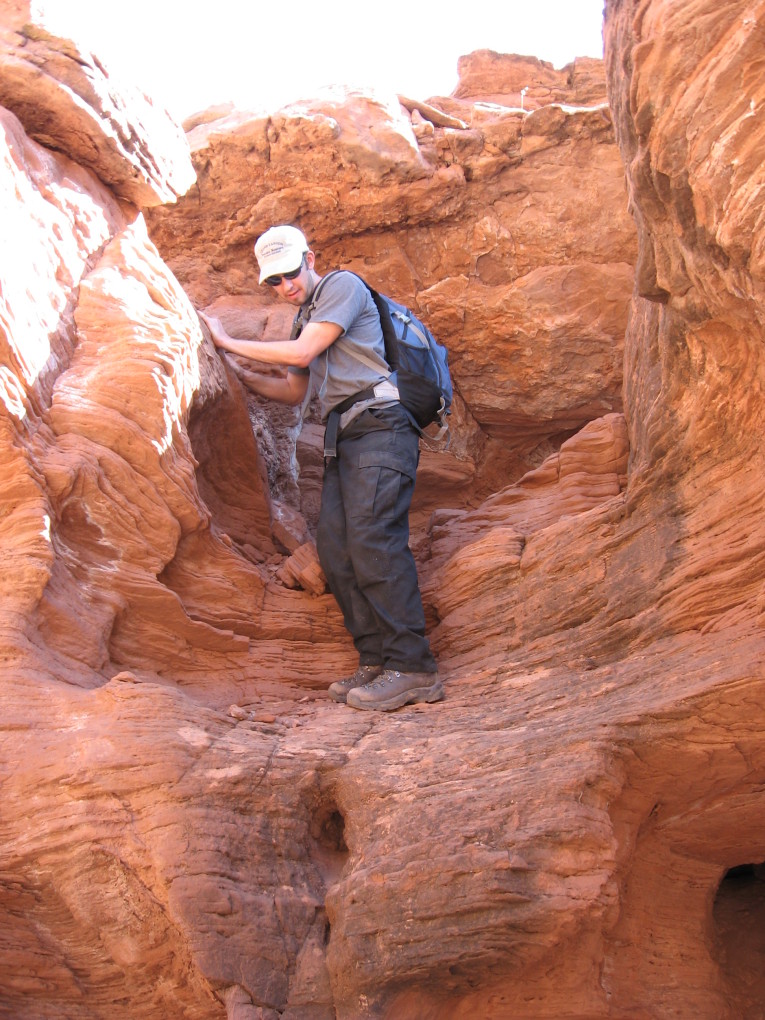
Then, it was off on the long walk home.
![[pr/img_0696.jpg]](pr/img_0696.jpg.medium)
|
Climbing down the cow trail just below lunch. |
It was a very long walk home.
Finally, we arrived.
Dinner was enchiladas, and lots of them.
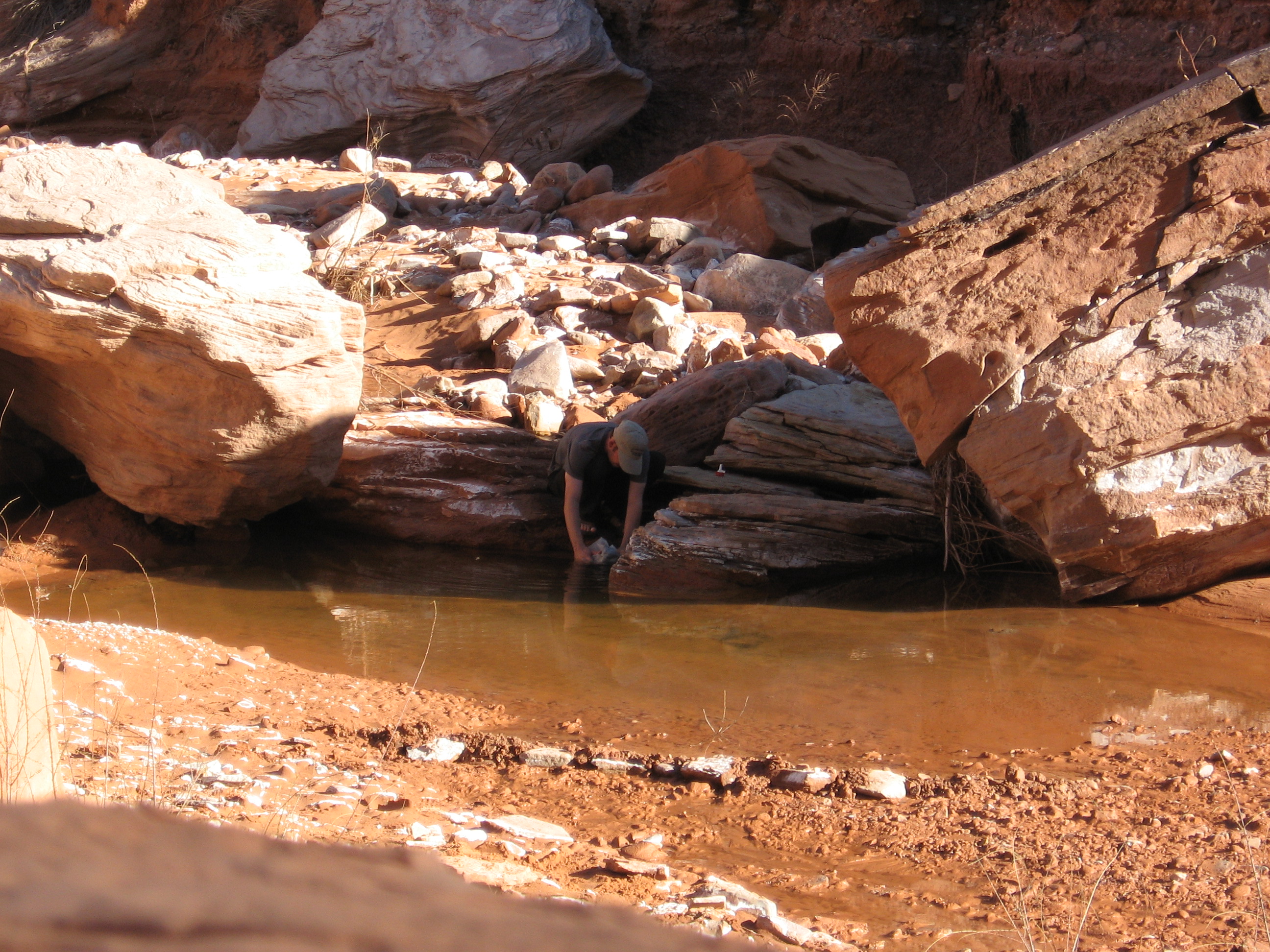
![[pr/img_0697.jpg]](pr/img_0697.jpg.medium)
|
Charles gathering water. |
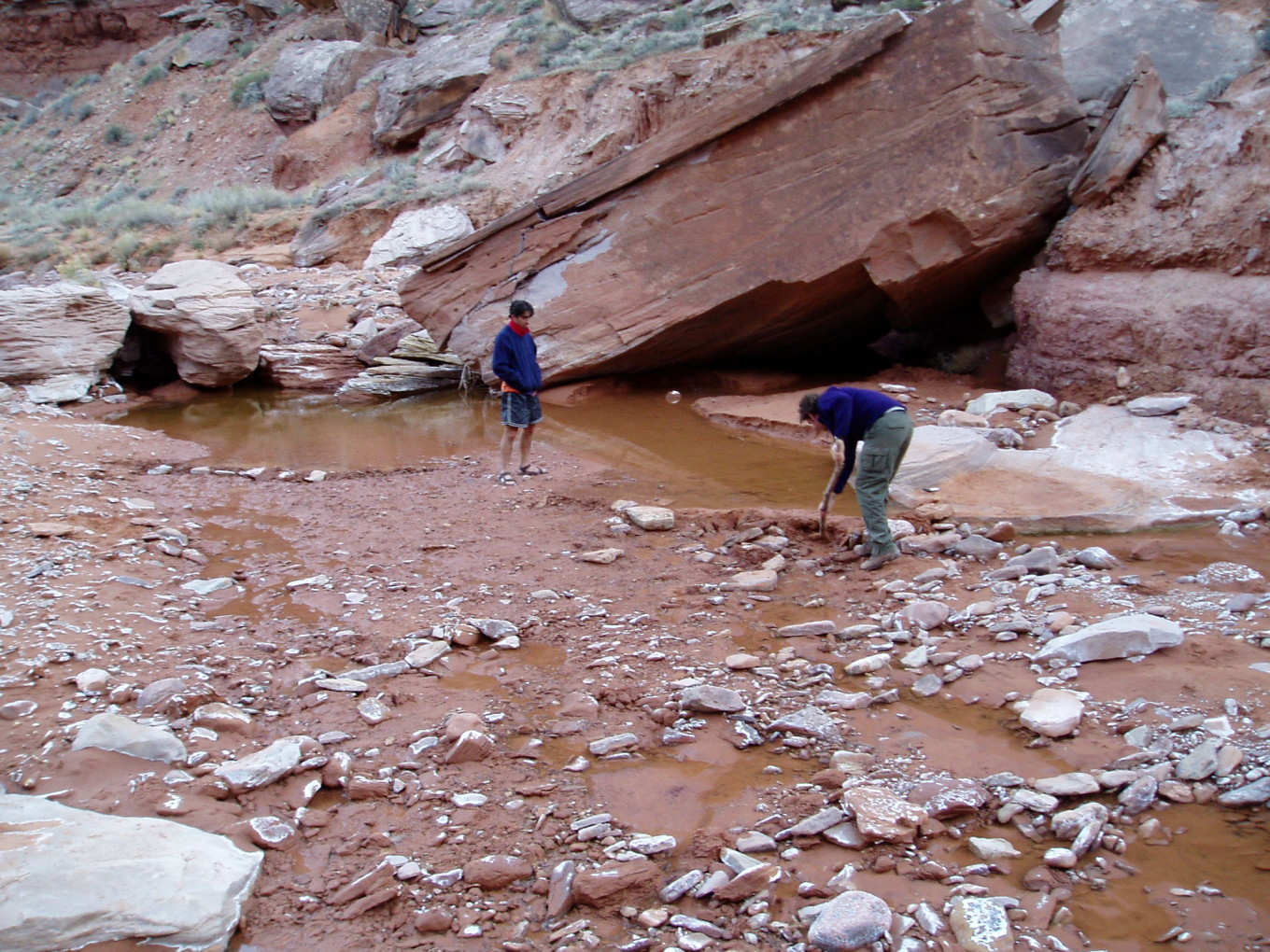
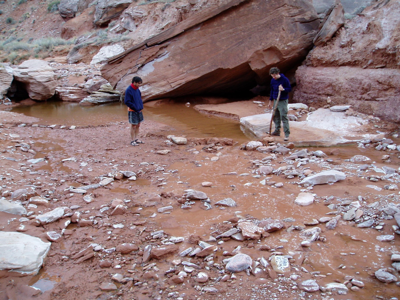
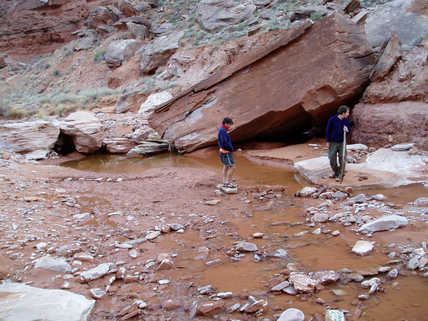
After dinner and camp chores, there was one remaining order of business: breach the dam. The cows had all wandered off up-canyon, so it was safe.
![[pc/p3150047.jpg]](pc/p3150047.jpg.medium)
|
Prodding the dam with a stick.
Photo by
Charles Yeamans. |
![[pc/p3150052.jpg]](pc/p3150052.jpg.medium)
|
Lots of water running through the gap.
Photo by Charles Yeamans. |
![[pc/p3150057.jpg]](pc/p3150057.jpg.medium)
|
Watching the new spillway dry up. So sad...
Photo by Charles Yeamans. |
Bed.
Please continue reading on Day 5.