CJR Escalante Adventure 2005 – Day 10
Synopsis: Explore “Moonshadow Canyon” and vicinity, including an overlook of our Day 9 route. Dayhiking; May 26. View Day 10 route map.
We spent Day 10 exploring “Moonshadow Canyon”, or, more specifically, using Moonshadow to access the maze of faulted slickrock that lies above the inner gorge of Death Hollow. (Why the quotes? They’re because it’s not an official or local name, but rather one the guidebook author made up, and also we think it’s lame.) Charles got us going with pancakes topped ingeniously with powdered sugar, eliminating the need to carry messy syrup.
![[photos/rrp/p5260122.jpg]](photos/rrp/p5260122.jpg.medium)
|
Morning in Camp V. |
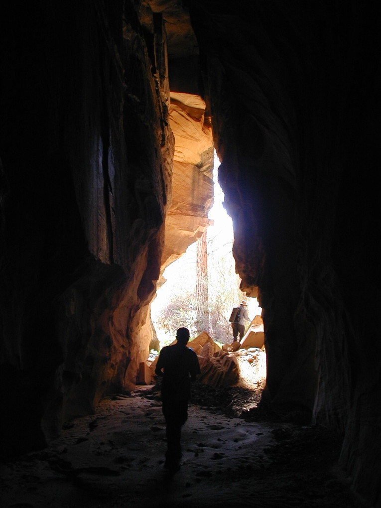
Hiking directly up Moonshadow was not fruitful, as it ended immediately with a dryfall. We did find a rather substantial cavern created by a fault in the rock.
![[photos/rrp/p5260127.jpg]](photos/rrp/p5260127.jpg.medium)
|
Charles and John exiting the cavern. |
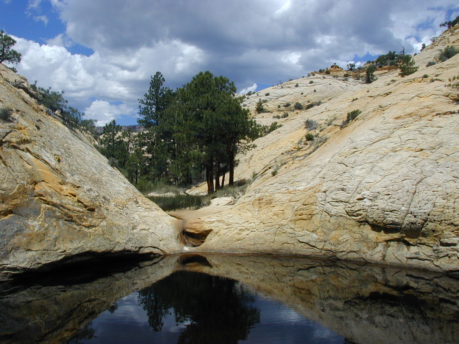
It was a simple matter to climb out and bypass the fall. A second fall was not as easy; we climbed up a rubble-strewn fault/wash and over into the next wash. Another up-and-over and we were back in the bed of Moonshadow Canyon, which had changed into an open, flat, grassy gully with a sandy wash meandering through it. Though apparently dry, this wash contained frequent quicksand.
![[photos/rrp/p5260129.jpg]](photos/rrp/p5260129.jpg.medium)
|
A pool with the main fork of Moonshadow Canyon beyond. This marked the top of the flat section. |
Continuing up Moonshadow, the character changed. Now there was slickrock on on side and a slowly rolling open pinon-juniper forest on the other. We entered a section which was perfectly straight and contained, to our suprise, a tiny alpine forest, complete with aspens, at 6,350 feet.
![[photos/rrp/p5260131.jpg]](photos/rrp/p5260131.jpg.medium)
|
John making his way through the “Secret Forest”. The ground is wet and cool in this area, evidence of seepage. These springs may have also caused the water in the lower parts of the canyon. |
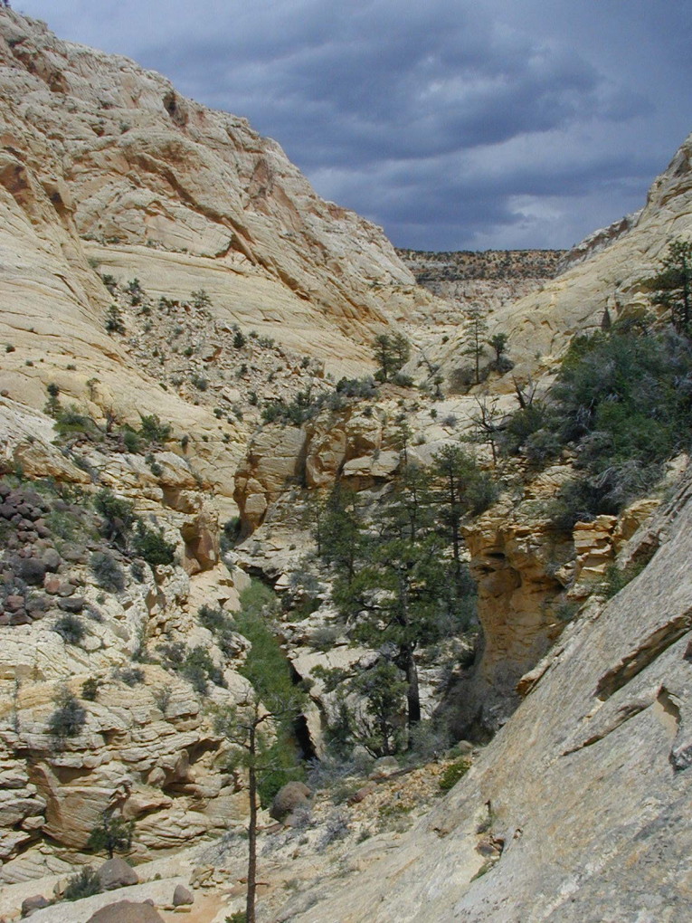
After the secret forest, we turned left and entered another fault canyon, this one deeper and narrower and also perfectly straight. There were vertical, totally flat cliffs that extended for many yards. Eventually, we reached a pool that extended the width of the canyon and a jumble of rocks beyond. Declining to wade, we opted instead for lunch. The weather had again clouded up, and it began to thunder.
![[photos/rrp/p5260135.jpg]](photos/rrp/p5260135.jpg.medium)
|
When in doubt, have lunch. |
As we exited the fault canyon, it began to drizzle large drops, but it never amounted to more than getting the rock damp. We continued up the secret forest canyon, which imperceptibly began to slope the other way. Soon, we were rapidly descending, scampering down the slickrock. We emerged into familiar territory: we stood in a hanging canyon opening out into the main Death Hollow only a short way below the end of the narrows.
![[photos/rrp/p5260136.jpg]](photos/rrp/p5260136.jpg.medium)
|
Death Hollow. The stream and its accompanying bushes are visible in the lower left-center of the photo. Immediately below our vantage point (past the lower-left corner of the photo) is the pool which we skirted by handing packs along a ledge. Our lunch spot from Day 8 is about a quarter mile up-canyon (left). |
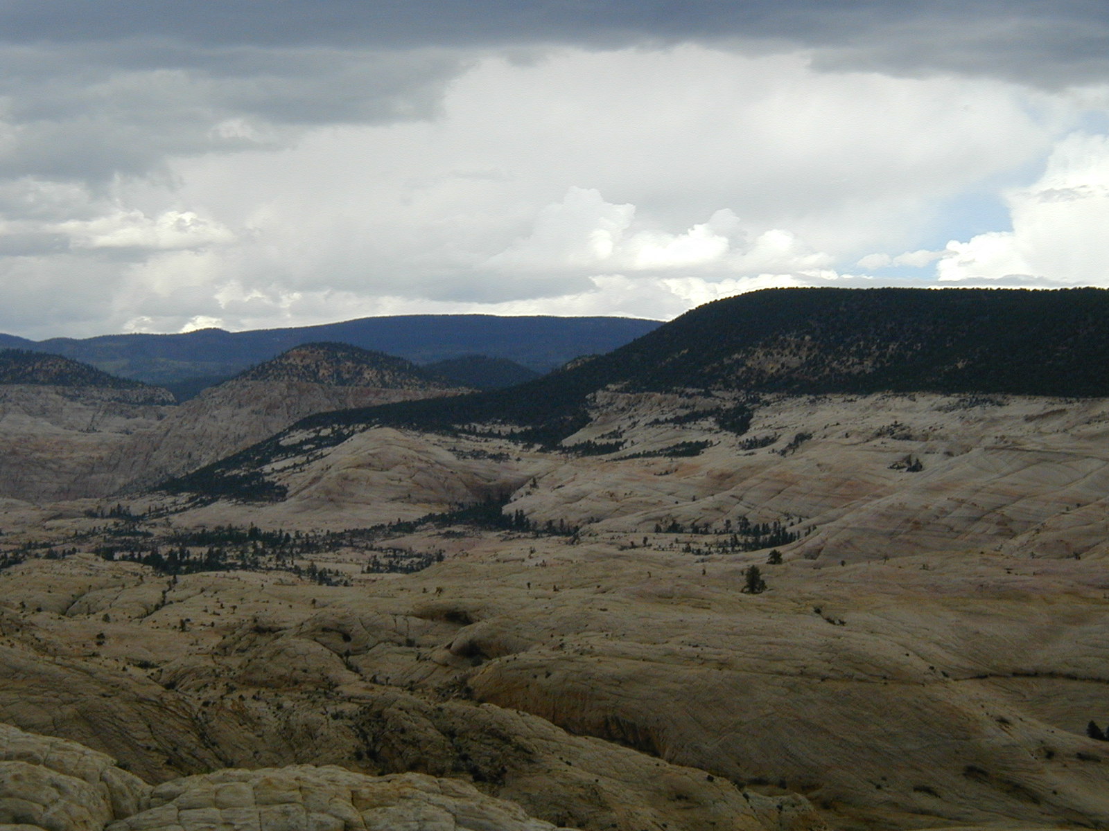
Retracing our steps past the fault canyon, we climbed out in the same direction and headed through the pinon-juniper for the top of a sandstone hill that promised, and delivered, fabulous views.
![[photos/rrp/p5260142.jpg]](photos/rrp/p5260142.jpg.medium)
|
Looking north into the Right Fork, where we had been a few days earlier. The ridge in the middleground is where we came over from Sand Creek; we came down both Days 6 and 7 approximately following the skyline to the left, and we went up on Day 6 somewhere on the slickrock slopes on the right-hand side of the photo. (I tried to draw in our route, but decided there was too much guesswork going on.) |
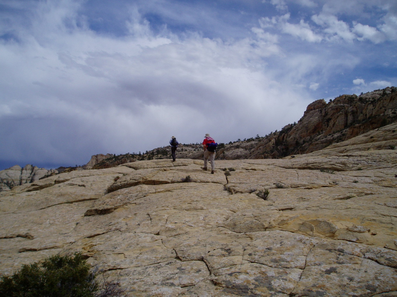
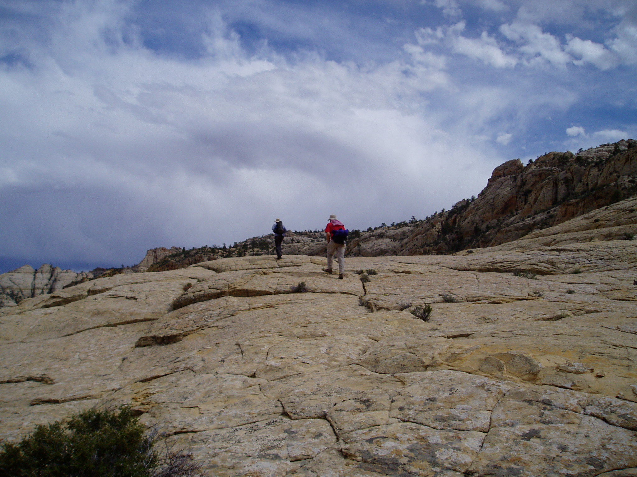
As we returned to camp, the clouds opened up, but storms continued to boil out from the mountains.
![[photos/cby/escalante_cby_080.jpg]](photos/cby/escalante_cby_080.jpg.medium)
|
The long walk back to camp. This is bypassing the second fall.
Photo by Charles Yeamans. |
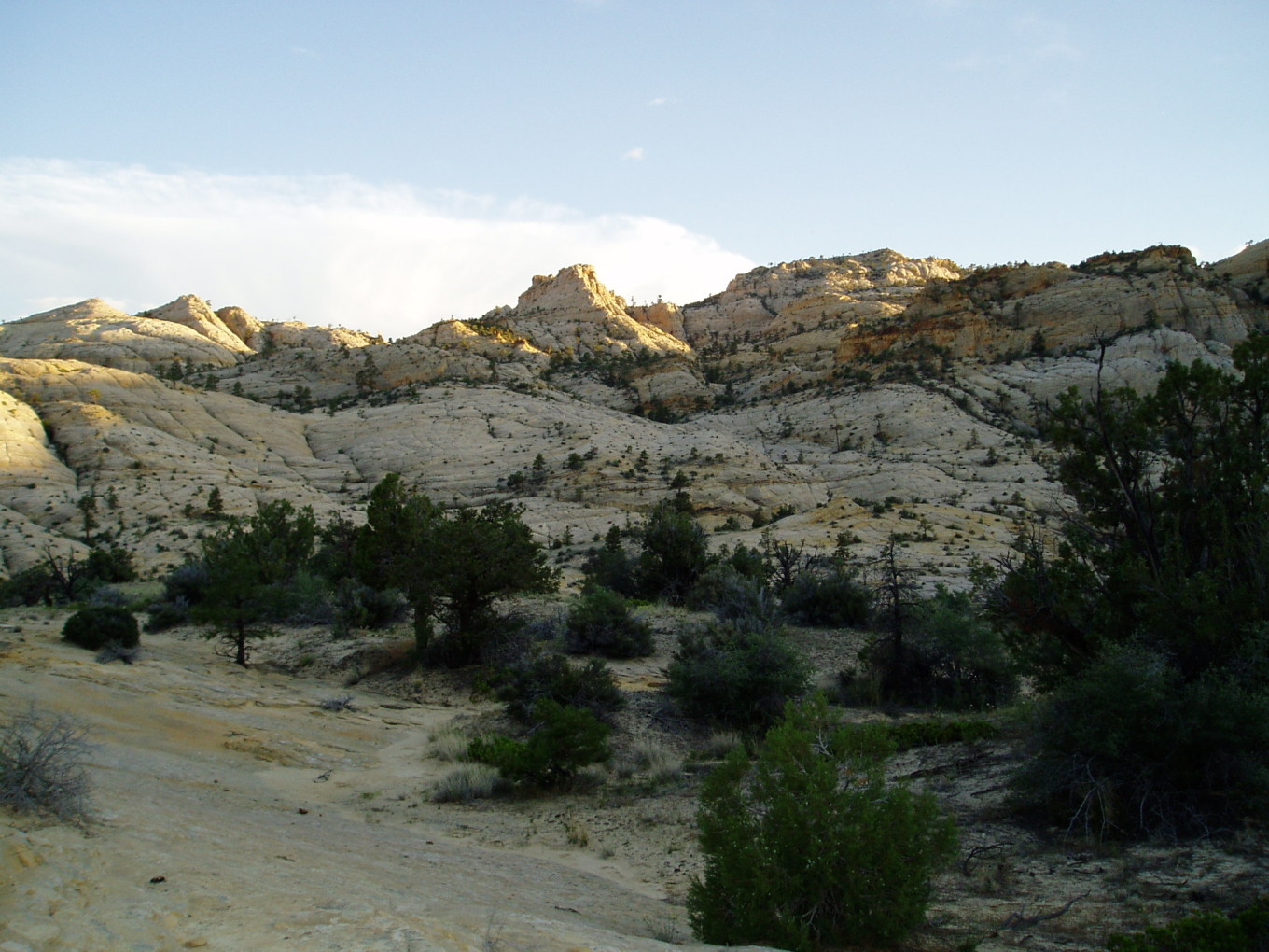
It had been a tiring dayhike. John cooked supper: pesto pasta.
![[photos/cby/escalante_cby_082.jpg]](photos/cby/escalante_cby_082.jpg.medium)
|
View off our “front porch” in the evening of Day 10, looking towards the main gully of Moonshadow Canyon. It is hard to see where it is: the white slope on the skyline ridge falls directly into it, but the yellowish flat rock area beyond the forest is on the near side.
Photo by Charles Yeamans. |
Please continue reading on Day 11.