The Gulch 2010 – Day 7
Synopsis: Climb Point 6167. September 16, 2010.
Today, the goal was to climb a butte I’ll call Point 6167, since it’s marked with the benchmark 6167 (its elevation) on the map. I remembered it from the 2005 trip as being a nice climb with superb views.
The basic itinerary was to climb out Sleepy Hollow, round the butte overlooking it and then head north to Point 6167.
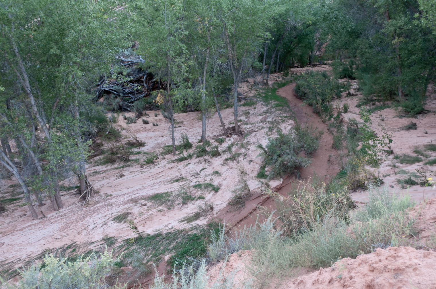
![[rp/20100916-02664.jpg]](rp/20100916-02664.jpg.medium)
|
This area in Sleepy Hollow was a pretty nice campsite in 2005, and it was our original target campsite, but since then flooding has made it much less nice. |
![[rp/20100916-02678.jpg]](rp/20100916-02678.jpg.medium)
|
Volcanic boulders on our way to Point 6167, which is the prominent butte on the skyline. |
![[et/5159.jpg]](et/5159.jpg.medium)
|
Reid, Ben, Russ, and Pete hiking to Point 6167. |
Already it was pretty hot out on the slickrock. I had planned a route closer to the butte overlooking Sleepy Hollow than we had followed the last trip, thinking it would be a bit flatter, but it turned out to still be pretty rough.
![[bm/3922.jpg]](bm/3922.jpg.medium)
|
View back towards The Gulch from partway up Point 6167. Note the oddly placed pothole; we later explored it, and it was pretty grungy and dirty. |
![[et/5161.jpg]](et/5161.jpg.medium)
|
Ben enjoying the view. |
About halfway up, we paused. Pete elected to hang out in the shade while we went to the top.
![[pw/1020.jpg]](pw/1020.jpg.medium)
|
Heading for the top. |
![[rp/20100916-02690.jpg]](rp/20100916-02690.jpg.medium)
|
Pete photographing us from his shady resting spot. |
The way up was a little airy feeling but the objective danger was OK. The last few feet were a challenge. I don’t think I’d want to take people up something any more difficult without a protection.
Ben adds: It did not help that every path Reid took up crumbled beneath his feet and tumbled off the side of the mountain.
![[pw/1027.jpg]](pw/1027.jpg.medium)
|
Russ topping out while Ben and Reid look on. |
![[et/5163.jpg]](et/5163.jpg.medium)
|
Me keeping an eye on Ben as he tops out. Looking west with Durfey Mesa in the background. |
![[bm/3925.jpg]](bm/3925.jpg.medium)
|
Russ on top of Point 6167. |
![[rp/20100916-02720.jpg]](rp/20100916-02720.jpg.medium)
|
Ben on top of Point 6167. The Fifty-Mile Cliffs are on the skyline. |
![[rp/20100916-02732.jpg]](rp/20100916-02732.jpg.medium)
|
The bluff overlooking Sleepy Hollow (near) and the mesa we circumnavigated on Day 5 (far). Our path to get to Point 6167 came around the right side of the former. |
After a few minutes enjoying the view, it was time to go back down and find a nice spot for some lunch.
![[rp/20100916-02753.jpg]](rp/20100916-02753.jpg.medium)
|
Ben climbing down. |
![[et/5198.jpg]](et/5198.jpg.medium)
|
Pete and Ben after turning around. |
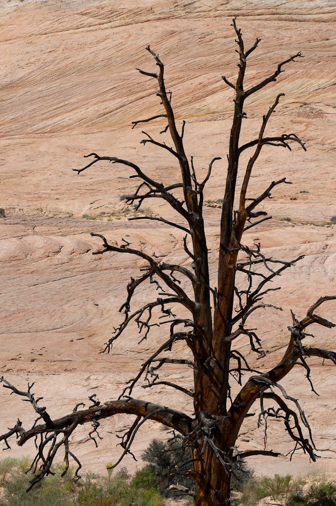
![[rp/20100916-02774.jpg]](rp/20100916-02774.jpg.medium)
|
Dead ponderosa pine in a draw. |
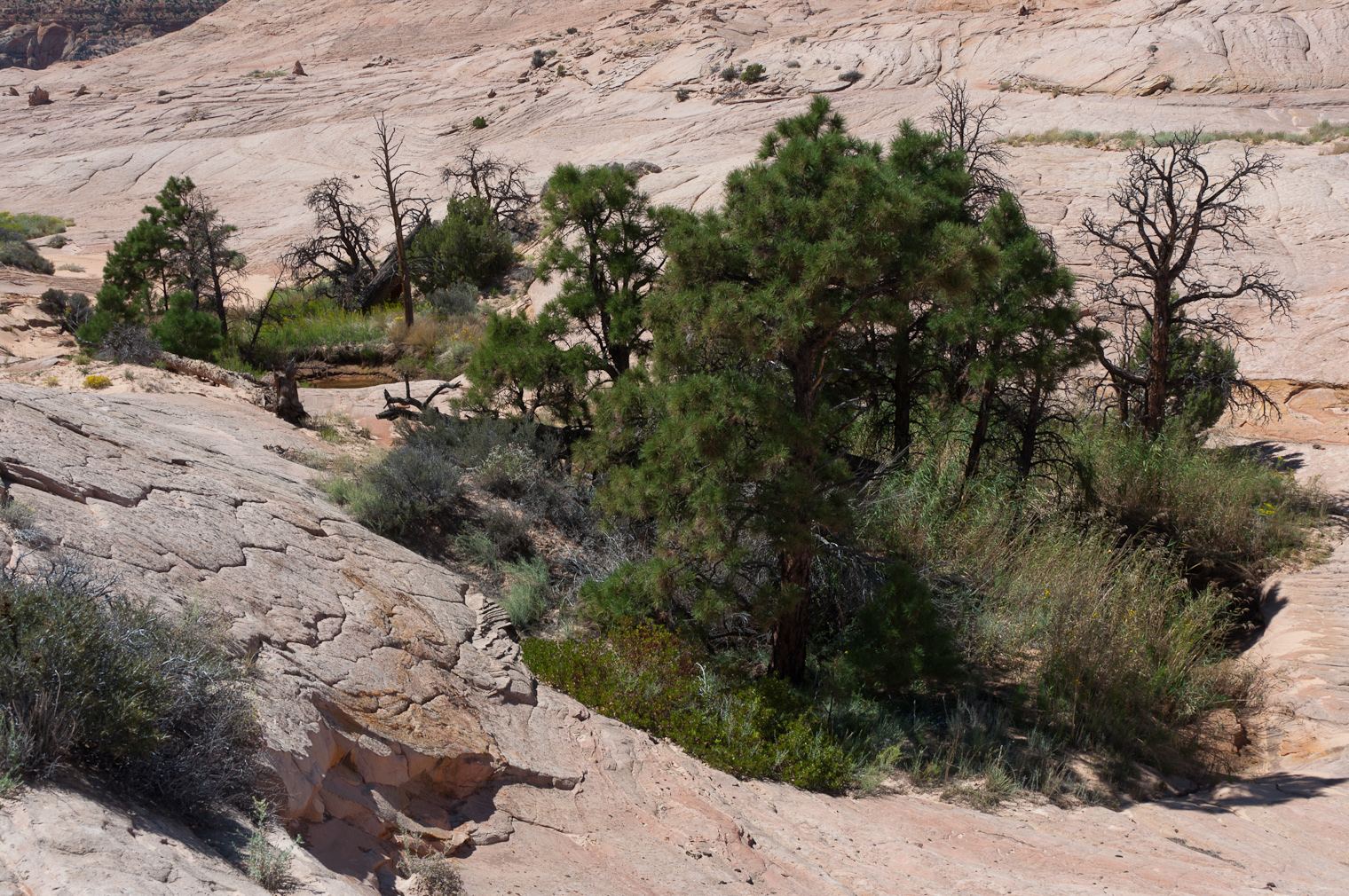
![[rp/20100916-02777.jpg]](rp/20100916-02777.jpg.medium)
|
Water and potholes are surprisingly common in this extremely desolate-looking slickrock area. |
It was really quite hot out and folks were fading fast. Finally we found a decent lunch spot in a crack under the shade of a cliff. It was good rock shade and reasonably cool. (Rock shade is better than tree shade because the rock itself stays cool and doesn’t radiate heat.)
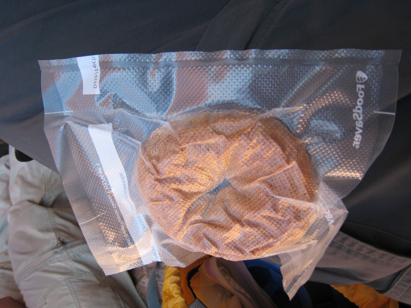
![[bm/3952.jpg]](bm/3952.jpg.medium)
|
Ben vacuum-sealed his bagels. |
Everyone was pretty low on water even though we’d only been out for a half day and we each had 3 liters. I headed up the crack to look for water and found a decent puddle.
It was also a pretty scenic crack.
![[bm/3953.jpg]](bm/3953.jpg.medium)
|
Exploring the crack. |
![[et/5204.jpg]](et/5204.jpg.medium)
|
Erin fools around while waiting for us to finish pumping. |
After the fill-up, we had to go back out into the blazing sun and start home.
![[pw/1048.jpg]](pw/1048.jpg.medium)
|
Slogging home. It was pretty much as hot as it looks. |
There was a lot of up and over, and it was very nice to get back to camp and start thinking about food.
![[rp/20100916-02816.jpg]](rp/20100916-02816.jpg.medium)
|
Hanging out while dinner cooks. |
After dinner, Ben and I went across the canyon again to see the sunset and enjoy being out in the desert, which was now cooling off rapidly.
![[rp/20100916-02829.jpg]](rp/20100916-02829.jpg.medium)
|
Ben photographing the sunset. |
![[rp/20100916-02900.jpg]](rp/20100916-02900.jpg.medium)
|
Swirls of rock across the canyon from camp. |
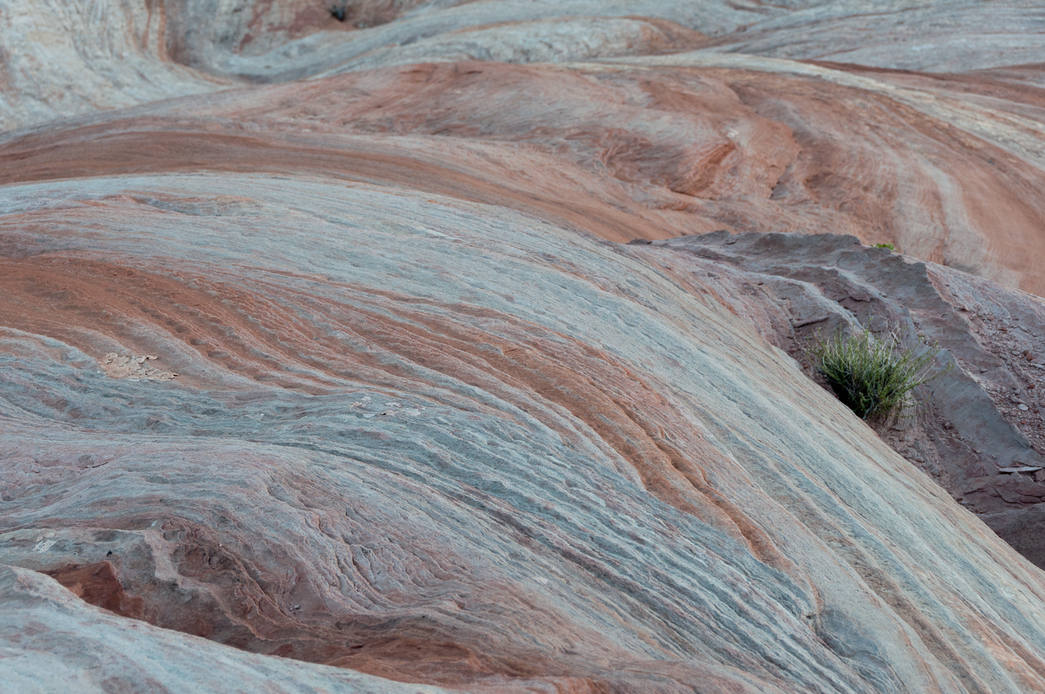
![[rp/20100916-02924.jpg]](rp/20100916-02924.jpg.medium)
|
The Gulch streambed. Our camp is in the trees to the left where the stream goes out of view. |
![[bm/3987.jpg]](bm/3987.jpg.medium)
|
Moon over The Gulch canyon walls after sunset. |
Please continue reading on Day 8.