Phantom Canyon 2008 – Day 2
Synopsis: Dayhike to Horn Creek for water sample (5.9 miles); backpack to Bright Angel Campground (5.4 miles). March 8.
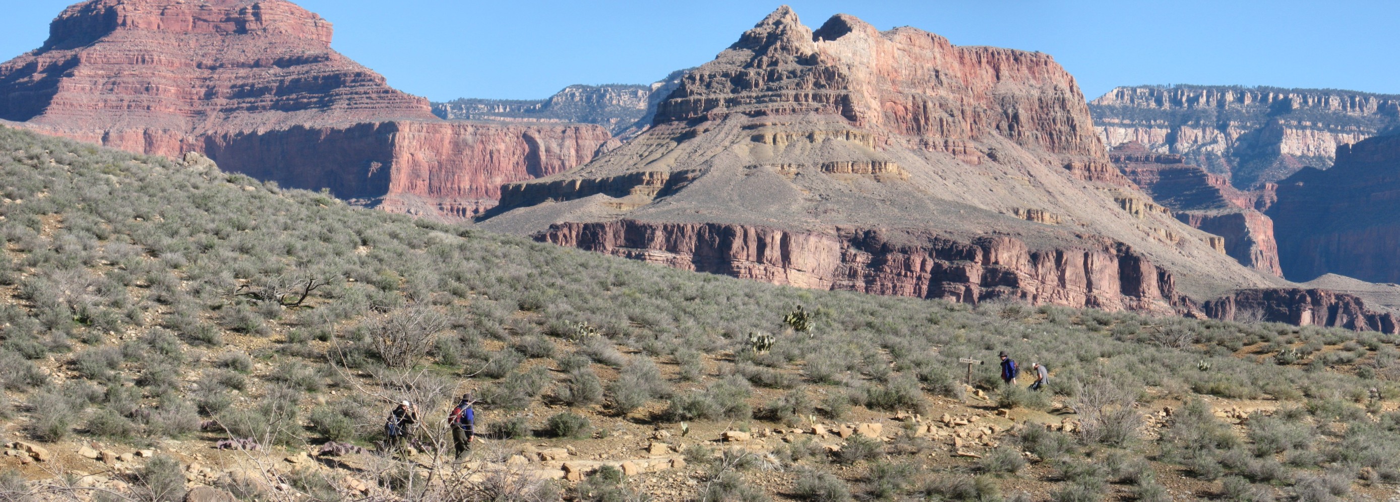
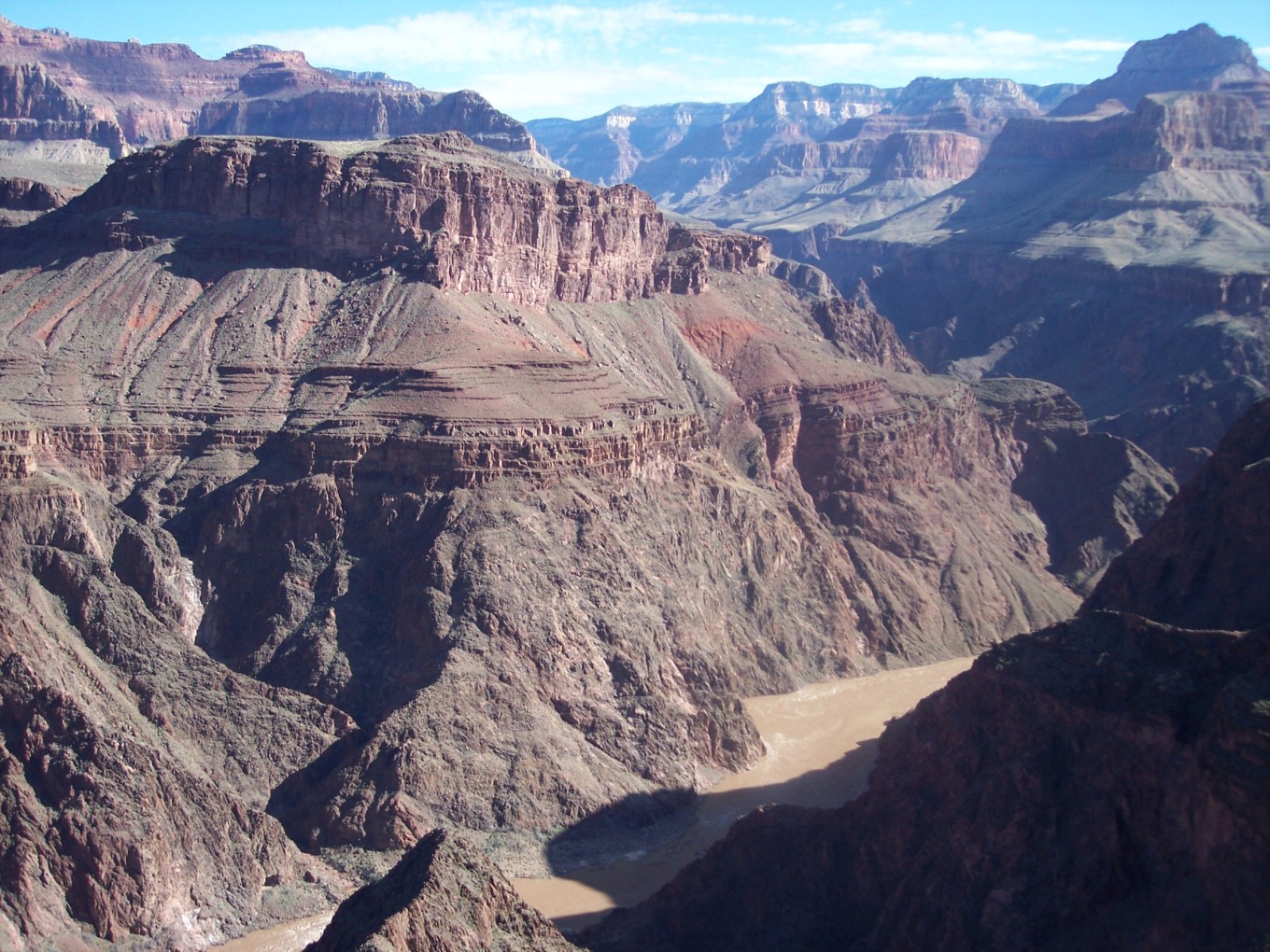
Today’s destination was Phantom Ranch, not too far away, so we started the day with short dayhikes. Sara and Kev went to Plateau Point for the great views, while Reid, Erin, Chris, and Charles went to Horn Creek.
Horn Creek used to have signs warning not to drink the water due to radioactive uranium contamination. Charles and Reid believed this warning to be due to CYA rather than reality, so the plan was to take a water sample for Charles to test, as conveniently he is a nuclear engineer.
Dayhike to Horn Creek
![[rp/1617+joined.jpg]](rp/1617+joined.jpg.medium)
|
|
View north from the Plateau Point Trail shortly after leaving Indian Garden.
Photo by Reid Priedhorsky. |
![[et/0484+joined.jpg]](et/0484+joined.jpg.medium)
|
|
Reid and Charles behind a tree and also at the turnoff for the West Tonto Trail. Cheops Pyramid is in the background; this would be a major feature of upcoming days.
Photo by Erin Tatge. |
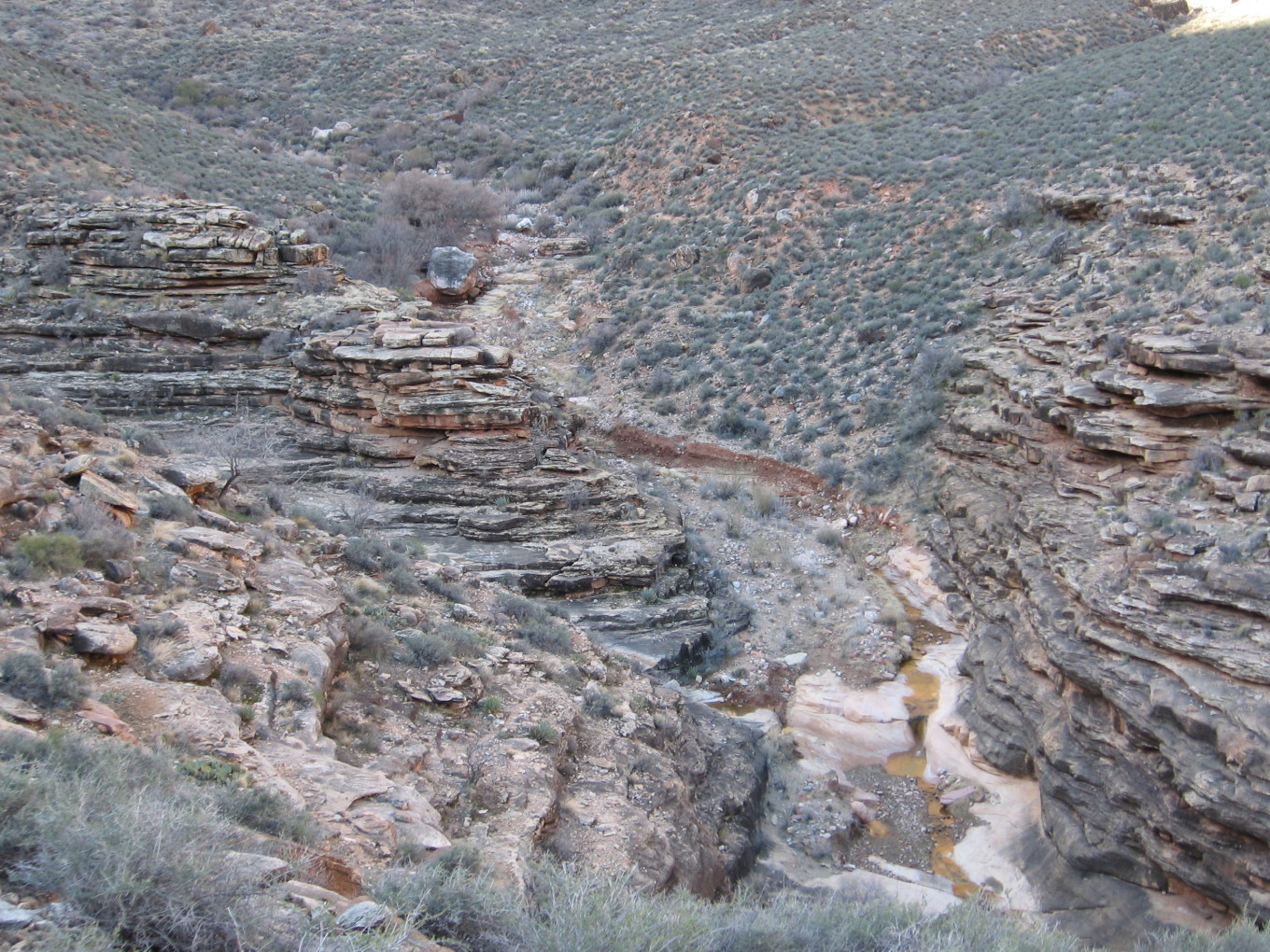
It is a short walk from Indian Garden over to Horn Creek, perhaps an hour or so.
![[rp/1625.jpg]](rp/1625.jpg.medium)
|
Rounding the corner into Horn Creek. The Orphan Mine trestle is visible (barely) on the rim. This is the source of the supposed radioactive contamination in Horn Creek water.
Photo by Reid Priedhorsky. |
![[rp/1628.jpg]](rp/1628.jpg.medium)
|
Lots of water in Horn Creek. The camping area is upstream, under the trees behind the gray boulder.
Photo by Reid Priedhorsky. |
![[et/0506.jpg]](et/0506.jpg.medium)
|
Charles collecting a water sample at Horn Creek.
Photo by Erin Tatge. |
Later inquiry to the Park Service revealed the following about the Horn Creek radioactivity business. Off the record, our contact said that the water violated EPA standards, but those standards assumed that you drank said water every day. Did he drink it? Yes.
Charles adds: Horn Creek water sample. Uhhh... this is still sitting on my desk. Honestly, I’m probably never going to analyze it. I was very satisfied with the answer we got later as to why that water source is marked as contaminated. Old mines are difficult hydrologic features because they screw up everything about the water flow. Since it’s really hard to figure out exactly what will happen during periods of high flow: rain, spring runoff, and such, they don’t have the resources to assure that particular creek isn’t getting some weird seepage from the mine. Ground water flowing near the rim can take months or years to make it back to the surface in the canyon, so the creek would have to be monitored constantly. Uranium and other heavy metals are relatively stable in the rocks, but as soon as people start punching holes in the rock, changing the groundwater flow patterns, it is plausible that pockets of soluble or suspended colloidal uranium could enter the stream. In short, limited consumption is probably fine. Unless you are hanging around Horn Creek for weeks and weeks, go ahead and drink the water.
My understanding is that there actually is follow-up investigation planned or ongoing, so we may get a more definitive answer yet, with the caveat that the federal government’s statements on matters like these tend to be extremely paranoid.
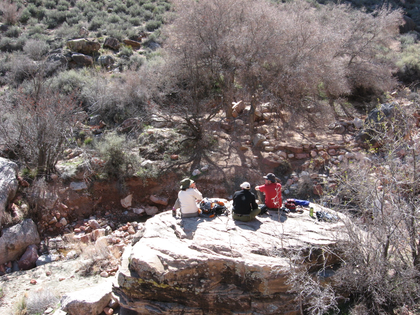
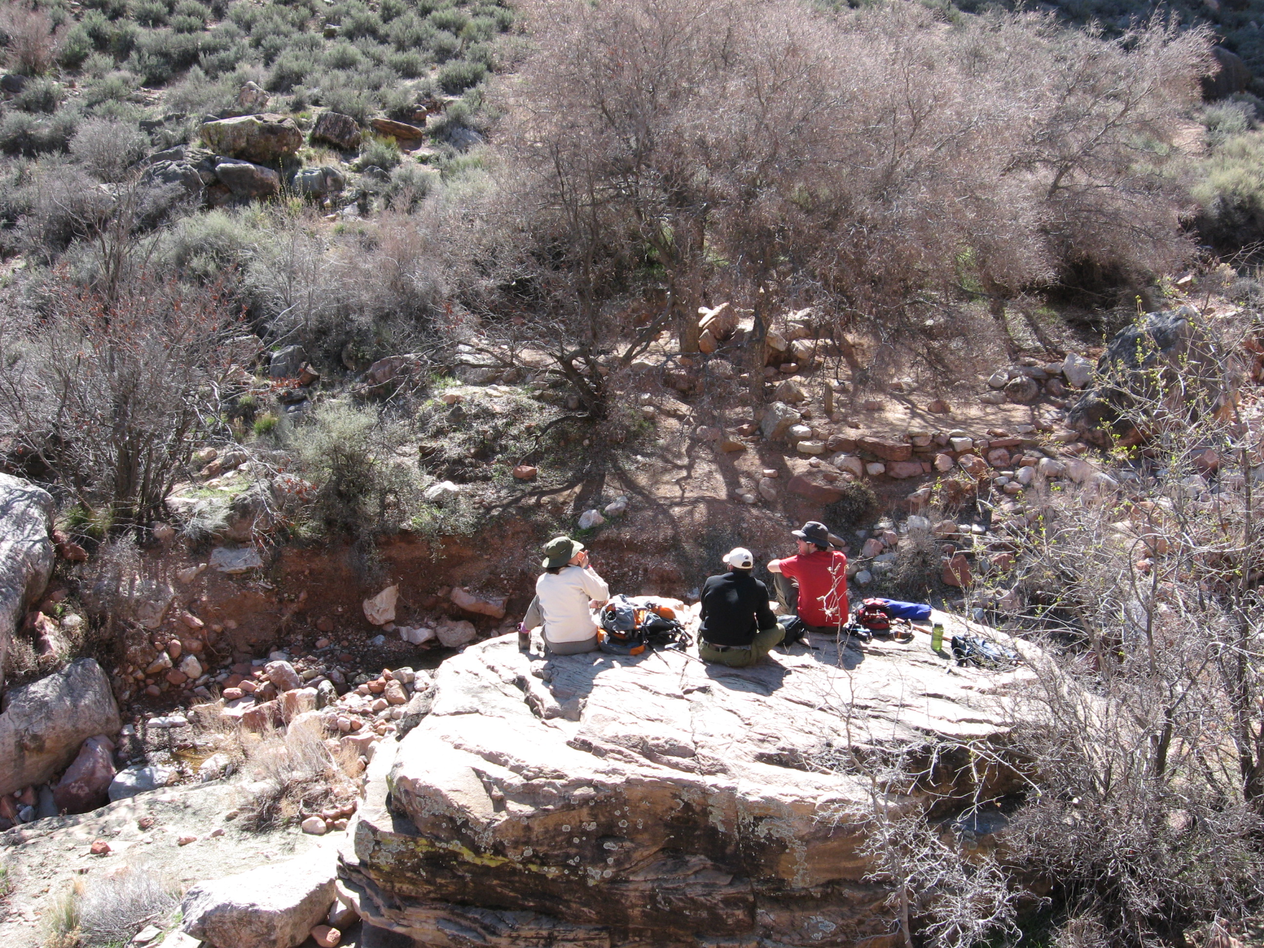
![[et/0509.jpg]](et/0509.jpg.medium)
|
Snack on a boulder at Horn Creek.
Photo by Erin Tatge. |
Dayhike to Plateau Point
As mentioned above, Sara and Kev opted for a shorter dayhike with better (more “Grand”?) views and went to Plateau Point.
![[st/39.jpg]](st/39.jpg.medium)
|
Colorado River from Plateau Point. Bright Angel Canyon coming in upstream, with various in-canyon summits beyond and the North Rim barely visible.
Photo by Sara Tatge McCarty. |
![[st/43.jpg]](st/43.jpg.medium)
|
Sara and Kev at Plateau Point.
Photo by Sara Tatge McCarty. |
Onward to Phantom Ranch
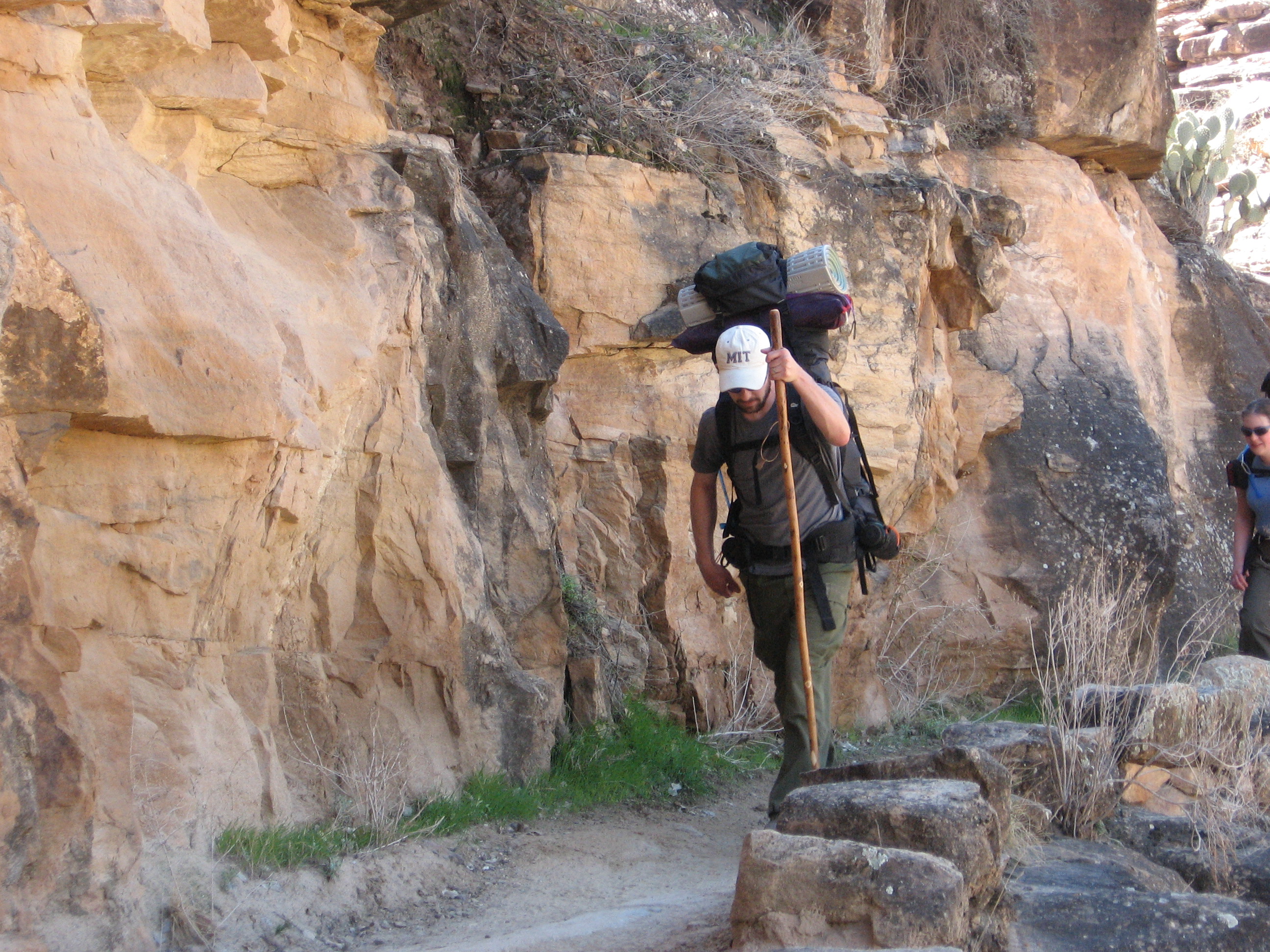
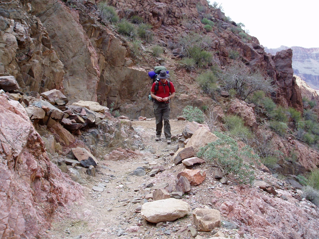
We reconvened at camp for some lunch and then moved on.
![[rp/1635.jpg]](rp/1635.jpg.medium)
|
Charles and his load walking down the trail above Garden Creek.
Photo by Reid Priedhorsky. |
![[rp/1641.jpg]](rp/1641.jpg.medium)
|
Trail contstruction along Garden Creek. This section was quite busy (and Indian Garden was downright crowded by lunchtime), but as soon as we left Garden Creek we saw few people until Phantom Ranch.
Photo by Reid Priedhorsky. |
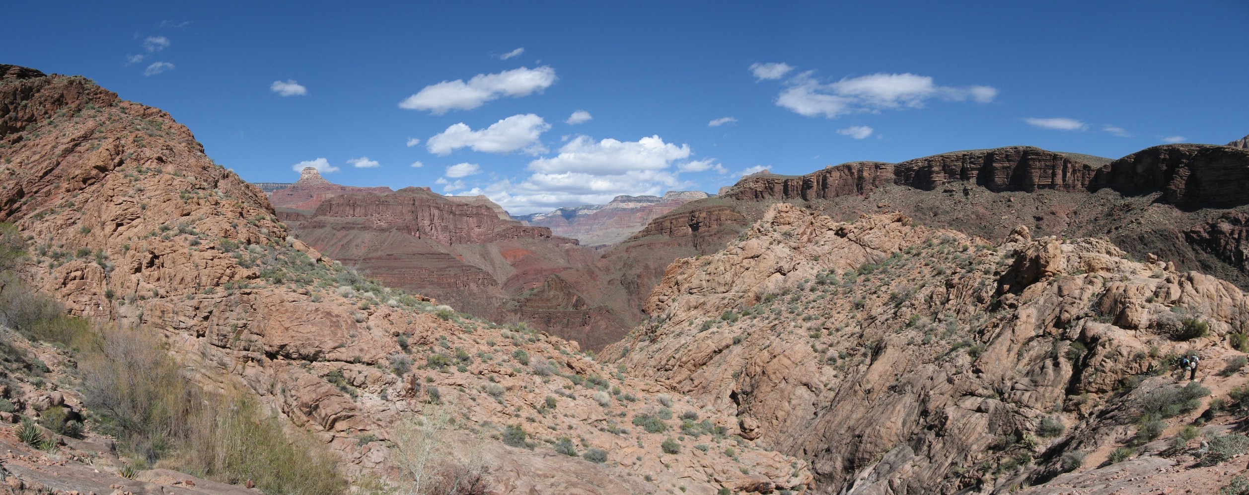
![[rp/1644+joined.jpg]](rp/1644+joined.jpg.medium)
|
|
View from just above the falls in Garden Creek, where the Bright Angel Trail leaves Garden Creek through a small pass and begins to descend to the bed of Pipe Creek via the Devil’s Corkscrew. I believe the Coconino butte at the left background is Buddha Temple.
Photo by Reid Priedhorsky. |
![[rp/1650.jpg]](rp/1650.jpg.medium)
|
Charles photographing some tourists at the pass.
Photo by Reid Priedhorsky. |
![[rp/1653.jpg]](rp/1653.jpg.medium)
|
Reid and Erin at the pass.
Photo by Charles Yeamans. |
![[cy/17.jpg]](cy/17.jpg.medium)
|
“There’s some rocks over there... did you see them?”
Photo by Charles Yeamans. |
![[rp/1654.jpg]](rp/1654.jpg.medium)
|
The Devil’s Corkscrew, descending into Pipe Creek.
Photo by Reid Priedhorsky. |
![[cy/19.jpg]](cy/19.jpg.medium)
|
Reid on the trail.
Photo by Charles Yeamans. |
![[rp/1659.jpg]](rp/1659.jpg.medium)
|
Garden Creek emerging from its chute into Pipe Creek.
Photo by Reid Priedhorsky. |
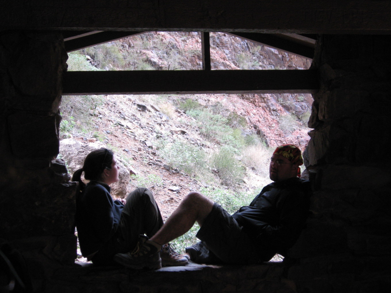
Around this time, it clouded over and began to drizzle. Fortunately, we soon arrived at the River Rest House, which has a roof.
![[rp/1665.jpg]](rp/1665.jpg.medium)
|
Erin at the River Rest House. The left fork of the trail behind her leads to the river at Pipe Beach, while the right fork is the beginning of the Colorado River Trail. We will follow it to Phantom Ranch.
Photo by Reid Priedhorsky. |
![[et/0520.jpg]](et/0520.jpg.medium)
|
Sara and Kev at the River Rest House.
Photo by Erin Tatge. |
![[rp/1670+joined.jpg]](rp/1670+joined.jpg.medium)
|
|
The Colorado River at Pipe Beach. The beach is nearly inundated; we were hiking during a high-flow experiment which was attempting to recreate the seasonal floods which historically restored the river beachs – flows which ceased with the construction of Glen Canyon Dam 100 miles upstream.
Photo by Reid Priedhorsky. |
![[rp/1677.jpg]](rp/1677.jpg.medium)
|
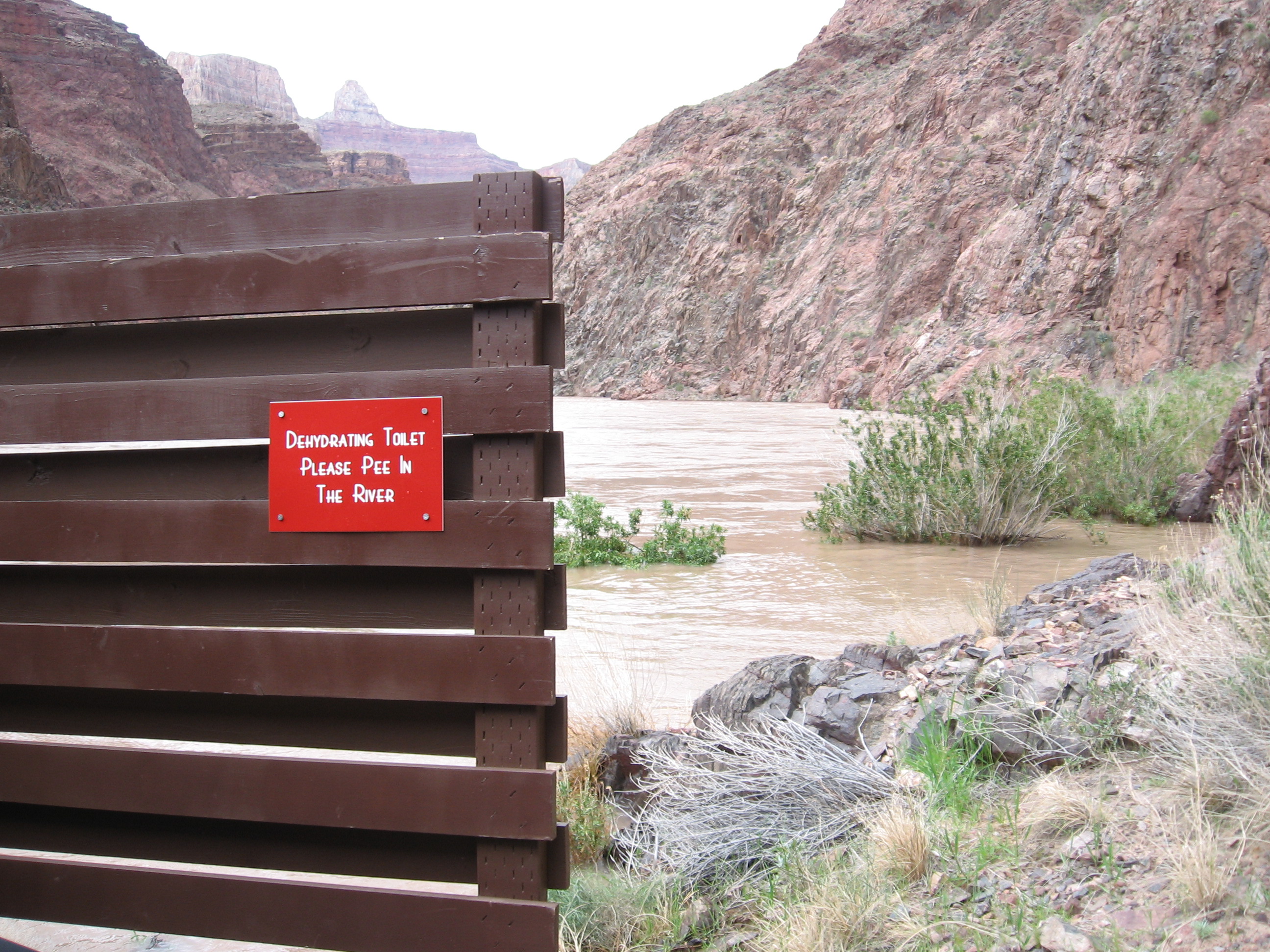
The outhouse at Pipe Beach (which was nearly floating away due to the high water) bears this sign: “Dehydrating Toilet. Please Pee In The River.” Erin and Chris were highly amused. (The river’s volume, even at low water, makes it better able to absorb the pollution load of human urine than the banks.)
Photo by Erin Tatge. |
Leaving the rest house, we started up the River Trail, which had been blasted out of the cliffs by the CCC. At least Reid had expected it to be level, but it definitely wasn’t.
![[rp/1681.jpg]](rp/1681.jpg.medium)
|
Charles observing the river.
Photo by Reid Priedhorsky. |
![[st/50.jpg]](st/50.jpg.medium)
|
The Colorado River.
Photo by Sara Tatge McCarty. |
![[st/54.jpg]](st/54.jpg.medium)
|
Erin and Chris at the Silver Bridge, the last landmark before our campground. Some of the buildings of the Phantom Ranch are visible across the river, and the Black Bridge upstream.
Photo by Sara Tatge McCarty. |
![[et/0525.jpg]](et/0525.jpg.medium)
|
Kev and crew crossing the Silver Bridge.
Photo by Erin Tatge. |
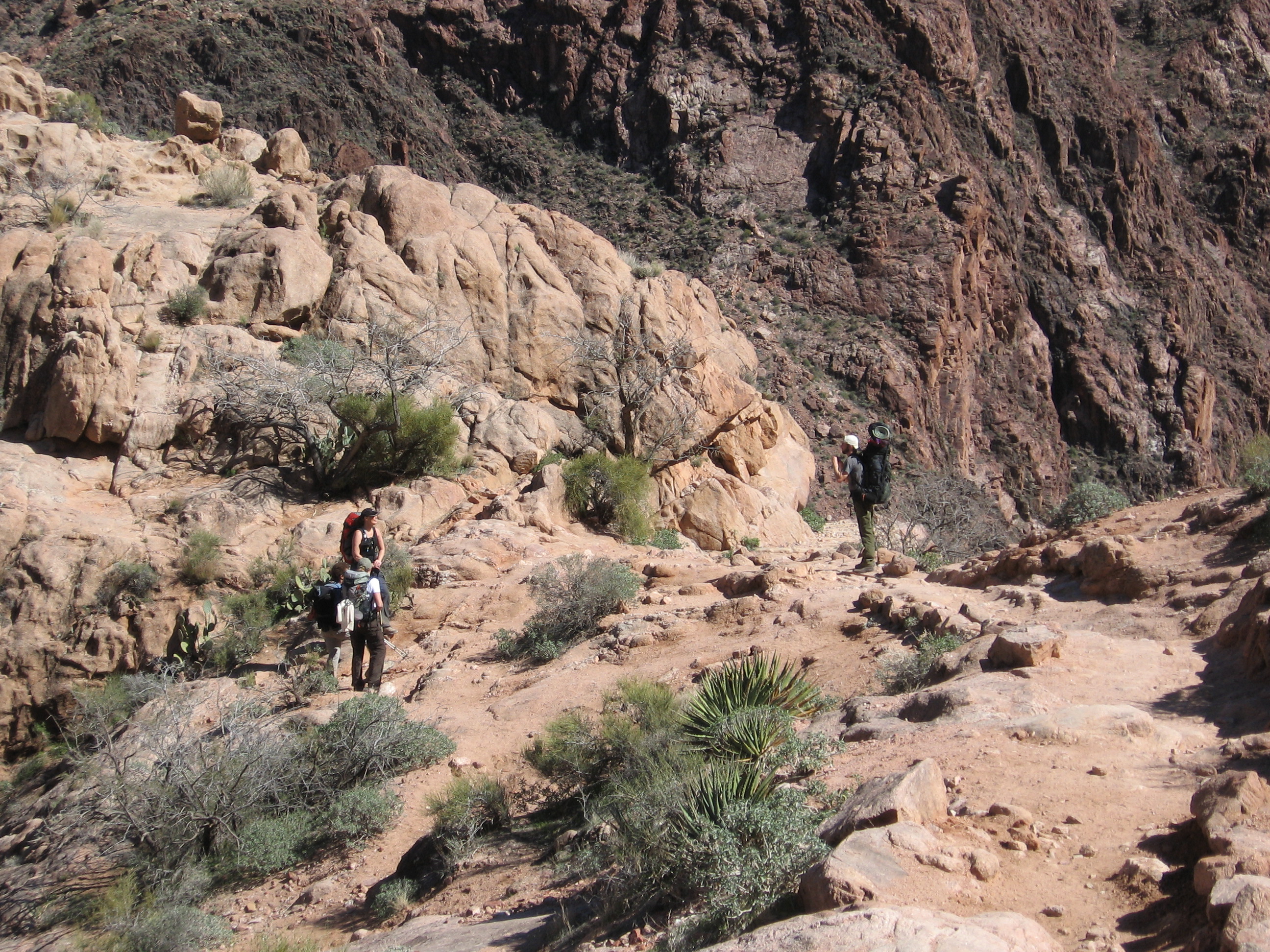
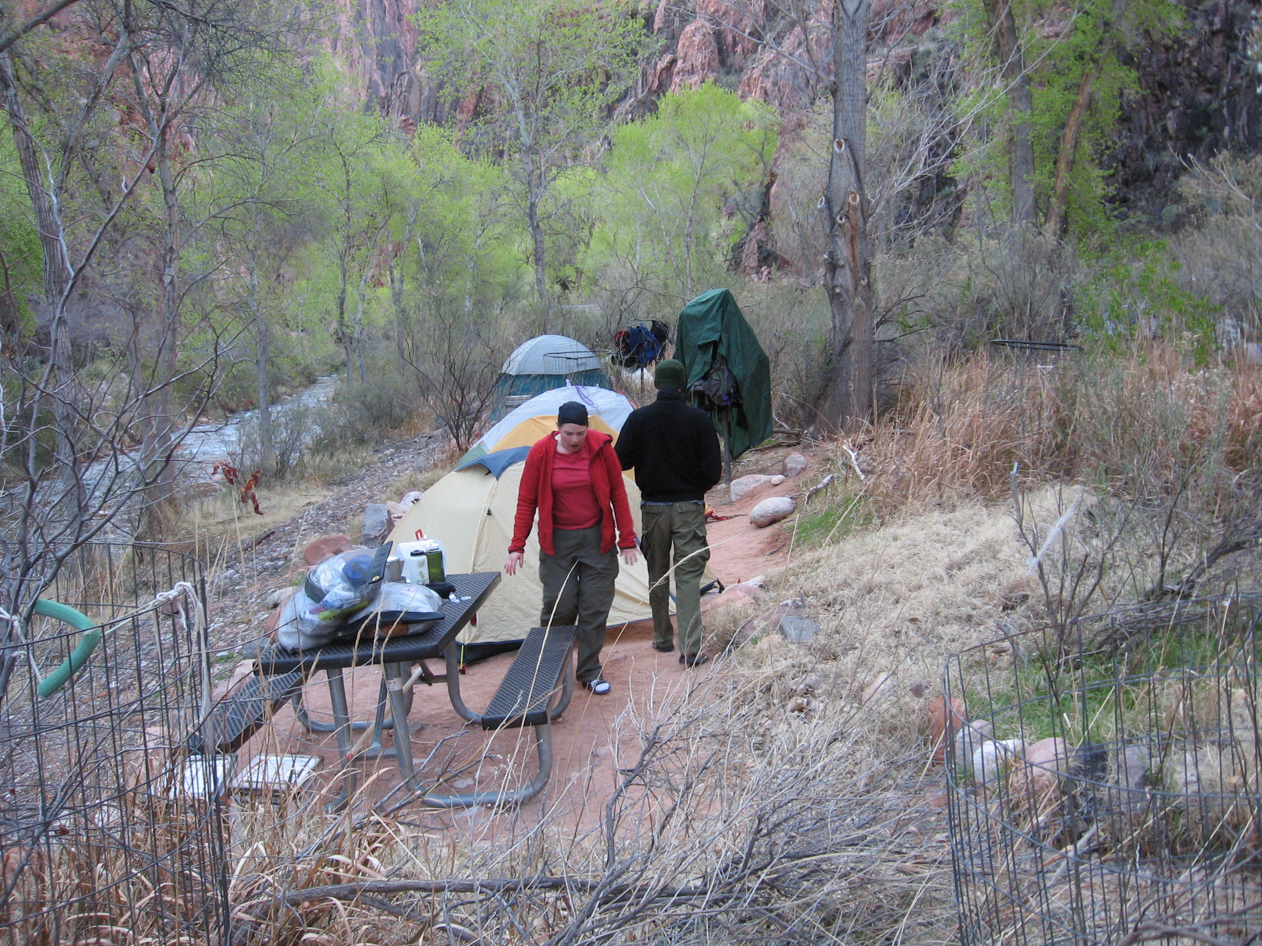
When we arrived at Bright Angel Campground, it was surprisingly full. We had a good time mocking those around us who were there as a final destination. They weren’t nearly as cool or hard-core as we, althought their gas lanterns and fresh produce were appealing. Losers.
![[rp/1703.jpg]](rp/1703.jpg.medium)
|
Setting up camp.
Photo by Reid Priedhorsky. |
Charles adds: Our campsite at Phantom was exactly big enough for the camp-standard large immobile picnic table and our three smallish (by Phantom Ranch standards) tents, the camp-issue squirrel-pole for pack hanging, and exactly nothing else.
Ranger Paul & Co. checked us in here, too, and we peppered them with many more questions we’d produced during the day. One of our number was scolded for sitting on the grass next to the “Stay Off the Grass” sign.
Erin and Reid cooked some spaghetti with meat sauce and Erin made converts to the church of the food dehydrator. After dinner we went to the canteen, where we saw a ringtail cat, sent some postcards, and had a beer.
Charles adds: At Phantom Ranch, Chris and I took great delight in standing near people while drinking our beers. We targeted the cleanest-looking people we could find. Even though it was very crowded inside, somehow we always managed to have clear space around us. Maybe that’s the difference in personal odor between people who hiked in with a daypack or rode in on a pack animal’s back and those of us who took two days carrying provisions for another seven days.
Please continue reading on Day 3.