Spring Canyon Adventure 2007 – Introduction
Synopsis: Preliminary and random thoughts, and travel to Utah.
Andy and I had a leisurely-timed flight leaving Minneapolis at 2:40 in the afternoon on Saturday, March 10. Our travel began inauspiciously, however, when I wrote down the wrong address for Andy’s pick-up!
Fortunately, however, it wasn’t too far off, and the problem was quickly rectified. We had no trouble at the airport and were through ticketing and security surprisingly quickly. The flight was very boring and uneventful — just the way I like it.
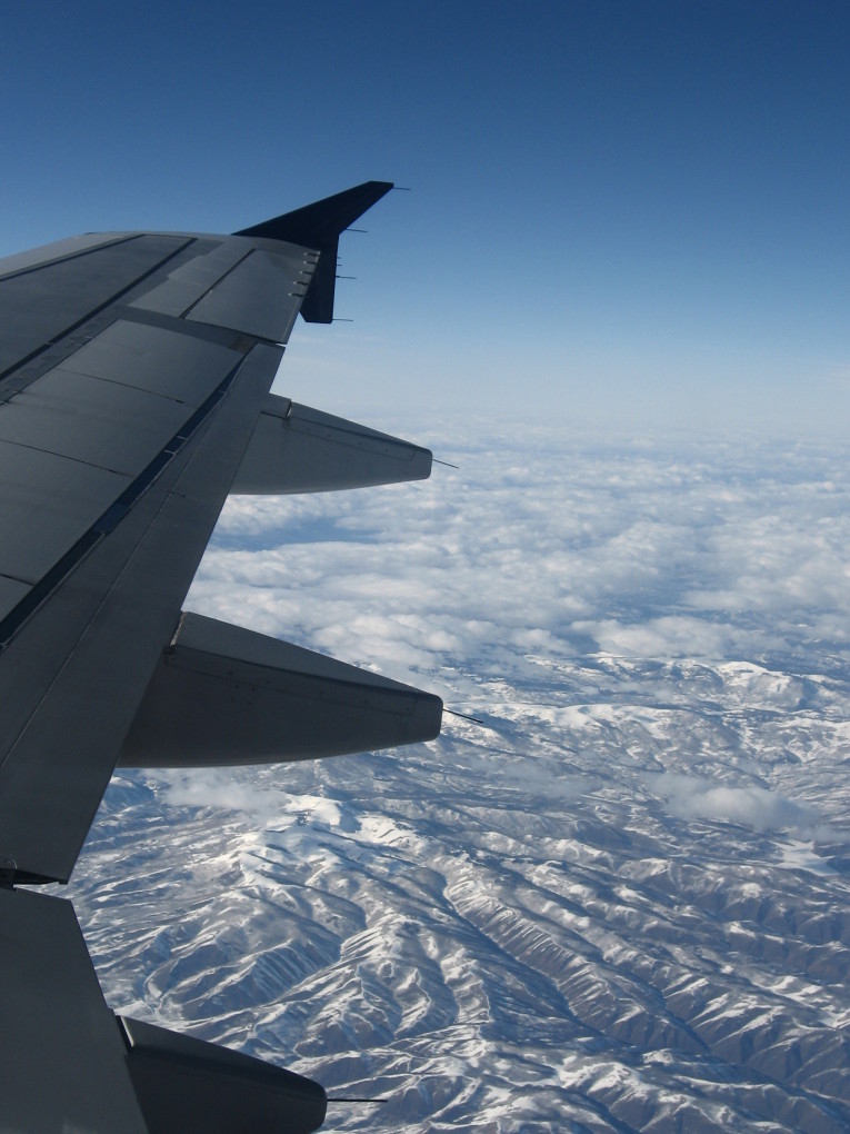
![[pr/img_0462.jpg]](pr/img_0462.jpg.medium)
|
Somewhere over Wyoming. |
Charles was waiting at the baggage claim in Las Vegas, and we were shortly at his friend Gary’s house in Henderson, arriving to find Gary nude. After a we hung around in front of his house for a few minutes, he came out and welcomed us.
We unloaded the truck and then headed to Terrible’s for dinner, then to Von’s to buy food. We were very tired and headed for bed pretty much immediately upon returning to Gary’s, though planning for the next morning was extremely confusing due to the fact that we would pass through three different time zones the next day (Nevada, Arizona, and Utah) and daylight savings time would take effect that night.
However, we managed to figure it out and got up early in the morning. With a quick stop at Sunflower to buy some last-minute items, we were off — except for the massive traffic jam caused by the NASCAR race scheduled to take place four hours later. Ugh. (Note: Auto racing is not a sport.)
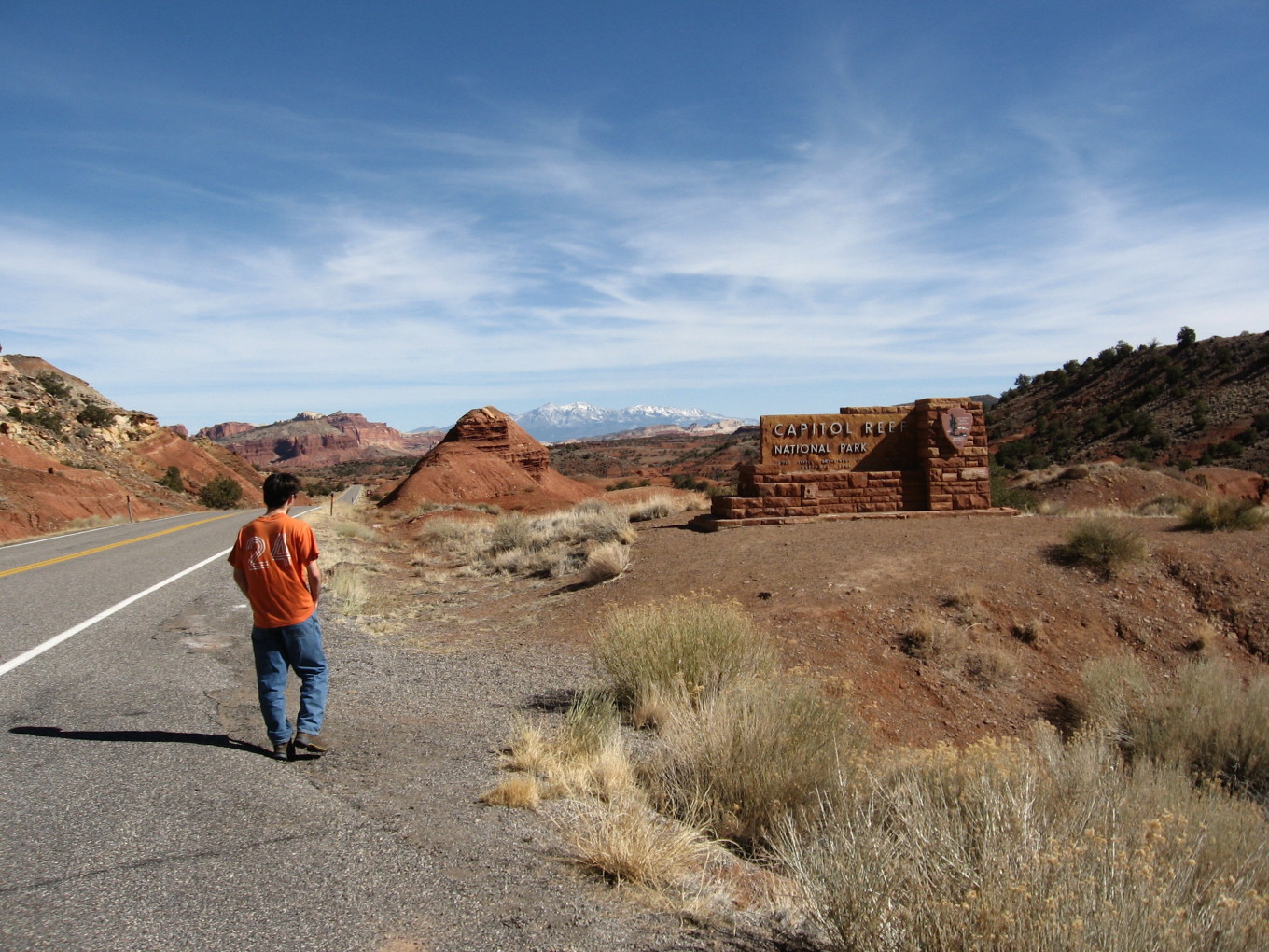
![[pr/img_0464.jpg]](pr/img_0464.jpg.medium)
|
Arriving in the canyon country, at Capitol Reef National Park. The H— Mountains are visible beyond. |
We arrived at the Capitol Reef visitor center before it closed (the reason for our early departure) but were disappointed to find that it sold topo maps only for the park itself, meaning that we could not replace the one of our maps which was poorly printed. (I ordered the USGS quad in Minnesota, and when it arrived it was apparently an inkjet print on oddly-sized paper, instead of the beautiful documents I’m used to.) Annoying, but no big deal, particularly since we ended up not needing the map.
From there, it was several more hours driving until we arrived at the trailhead at about 6:00 PM. Charles’ four-wheel-drive wouldn’t engage, but fortunately we didn’t really need it. I’m not sure if my Toyota would have made it. (The guidebook stated that any vehicle would do.)
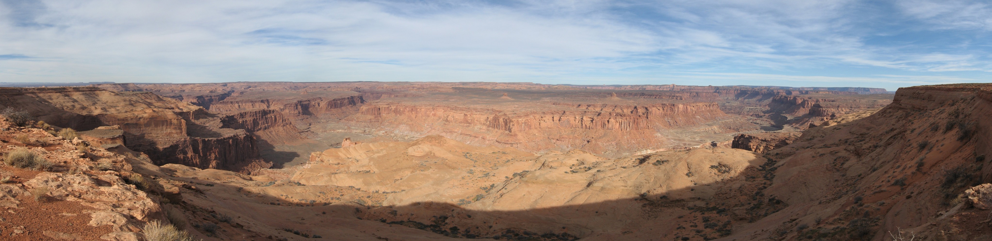
![[pr/img_0468_joined.jpg]](pr/img_0468_joined.jpg.medium)
|
|
View from the trailhead at B— Point. T— and S— Canyons are visible at left, while the river flows away to the right. The Navajo bench dominating the center middleground is our route tomorrow. |
We dined on Dinty Moore beef stew and leftover sandwiches, organized food, and then went to bed.
Please continue reading on Day 1.