Escalante Adventure 2006 – Day 3
Synopsis: Visit tanks from last year, return via Boulder Creek. Tuesday, May 30.
The critter kept at it all night again. Once, he even snuck into my tent vestibule!
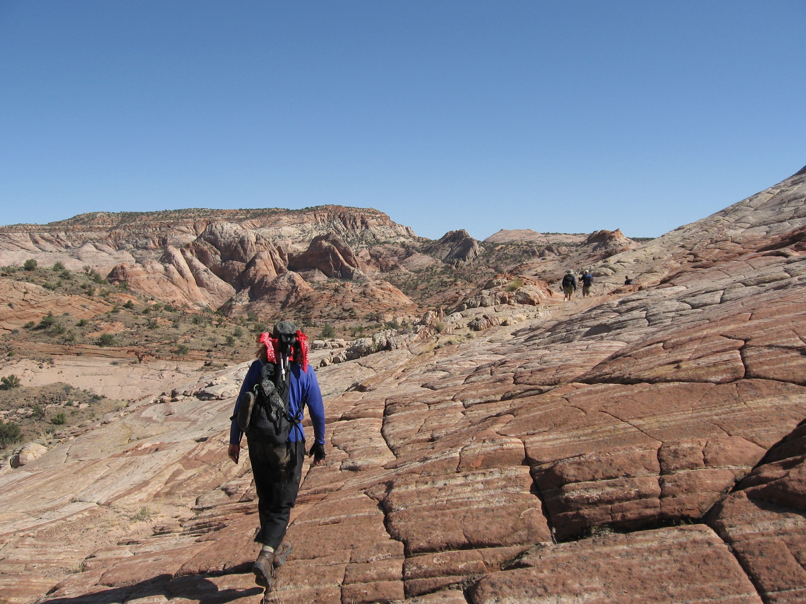
At breakfast, we discussed the plan for the day. We would climb over to Boulder Creek, following a stock trail that Bevin had told us about. (We had followed the beginning of the trail the previous day.) We would cross the creek and then travel overland to the potholes that we had visited so many times last year.
We set out around 10:00 AM. Before leaving, however, we observed Dave furtively fooling around with a squat, rectangular piece of luggage. Others had made similar observations earlier, and Dave and Kim were keeping quite mum about its contents.
![[p/img_0220.jpg]](p/img_0220.jpg.medium)
|
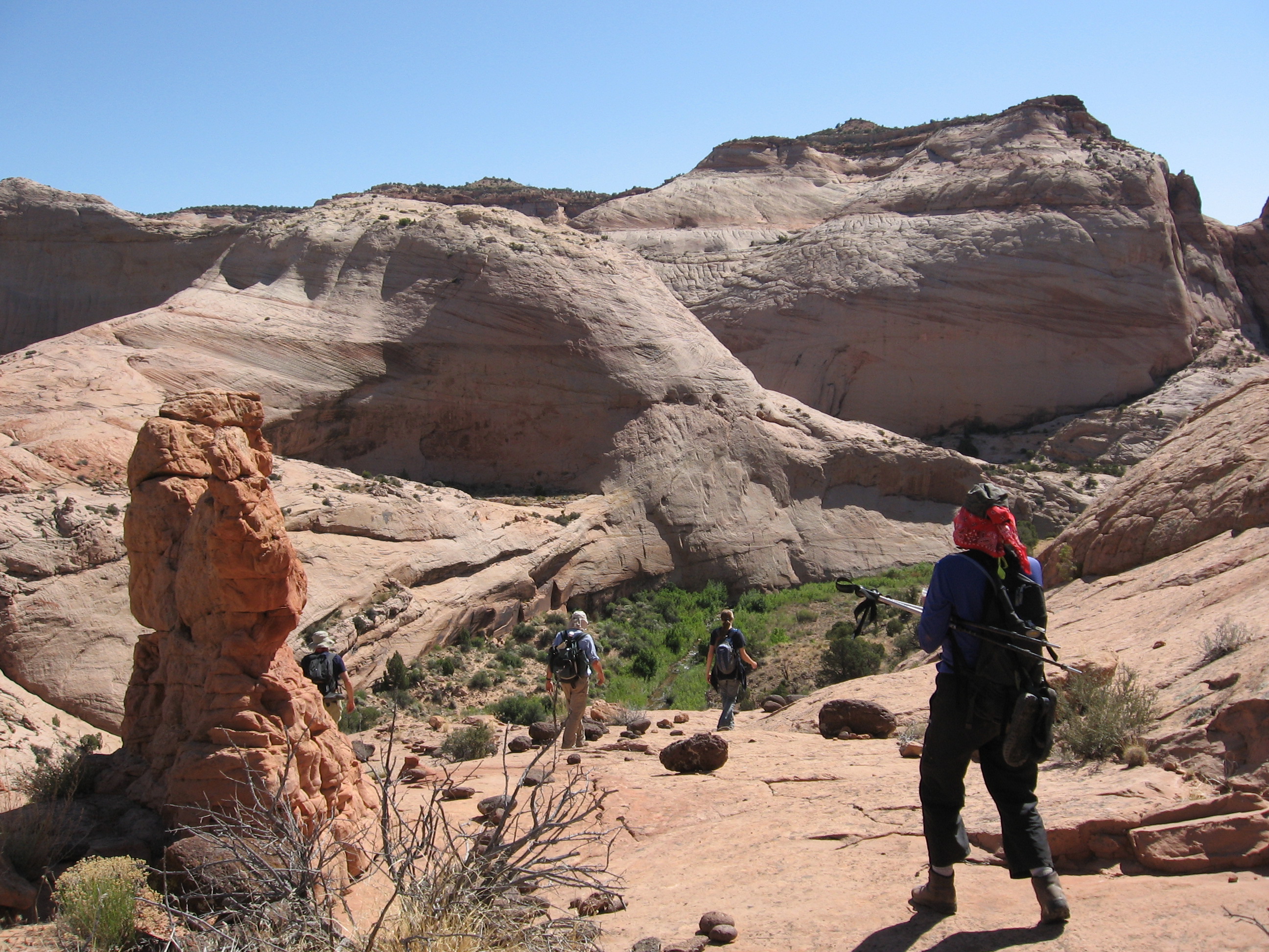
Some of us elected to take a more adventurous way to the top. |
The pack trail came and went, but the direction was clear.
![[p/img_0223.jpg]](p/img_0223.jpg.medium)
|
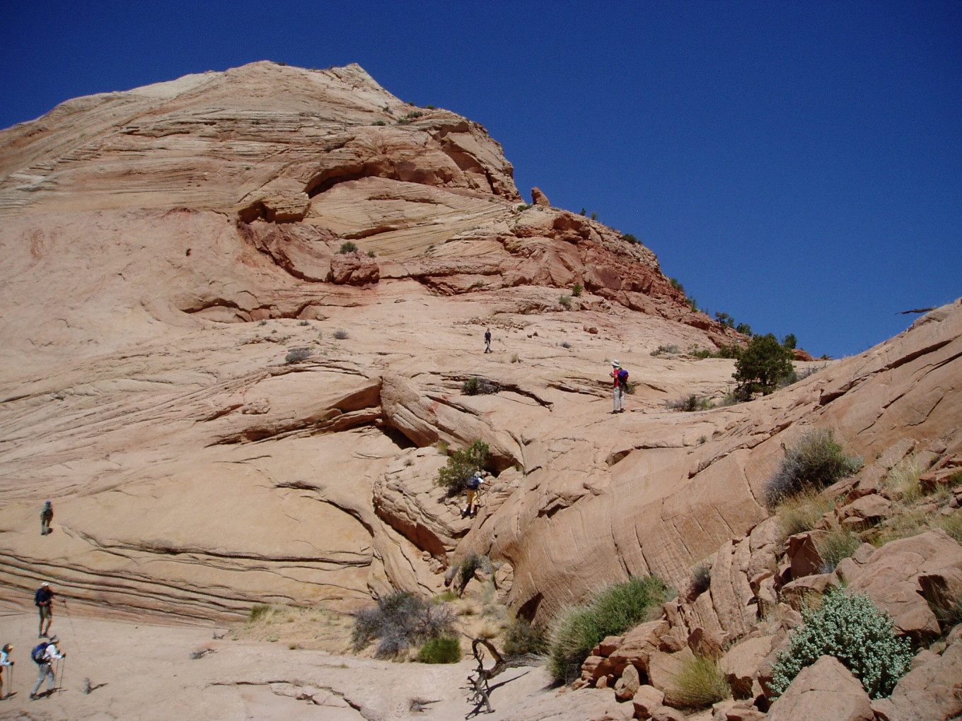
Descending into Boulder Creek from the pass. We are headed to the big, shaded wall just above Jackie’s head. |
![[p/p5300106.jpg]](p/p5300106.jpg.medium)
|
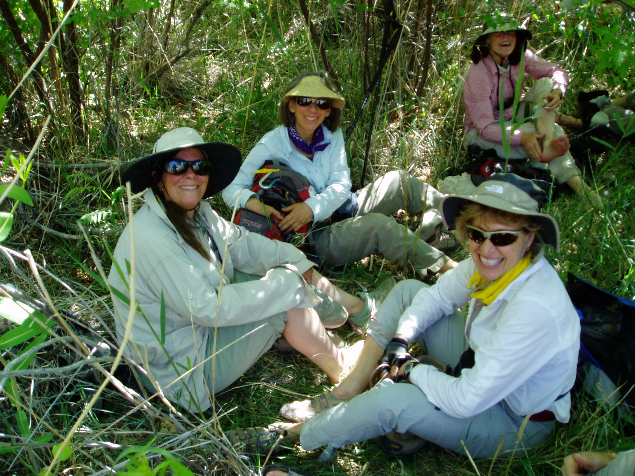
Changing into river shoes for the creek crossing.
Photo by Bill Priedhorsky. |
Once across the creek, the next step was to climb up into the mouth of a hanging valley. We would follow it to the pass at its top and then descend into the next drainage, which held the tanks.
![[p/img_0233.jpg]](p/img_0233.jpg.medium)
|
Karen climbing up into the hanging valley. Kathleen is photographing. |
![[p/p5300114.jpg]](p/p5300114.jpg.medium)
|
Yours truly!
Photo by Bill Priedhorsky. |
![[p/img_0236.jpg]](p/img_0236.jpg.medium)
|
Looking past Melissa down the hanging valley. The foot of “River” forms the skyline. |
![[p/p5300115.jpg]](p/p5300115.jpg.medium)
|
The final step up to the pass.
Photo
by Bill Priedhorsky. |
![[p/img_0240_joined.jpg]](p/img_0240_joined.jpg.medium)
|
|
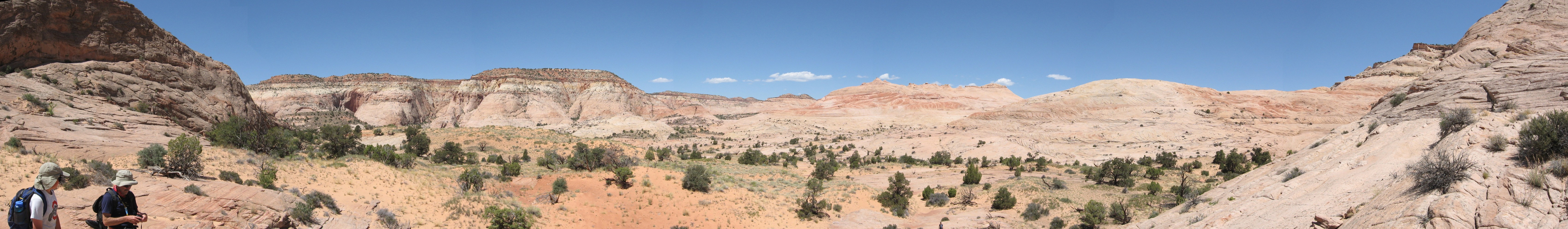
The view northwards from the pass. Petey and Dennis are at left, and a tiny Kim is visible in the lower center. |
We descended gradually into the tanks’ drainage and followed it a mile or so upstream until we reached the tanks. The main swimming hole was down a foot, and it had partially filled with sand, but it was still there.
![[p/p5300116.jpg]](p/p5300116.jpg.medium)
|
Banzai Dave!
Photo by Bill Priedhorsky. |
![[p/p5300126.jpg]](p/p5300126.jpg.medium)
|
Lunchtime. Very important.
Photo by Bill
Priedhorsky. |
After lunch, we left the tanks and headed down the drainage. A little while later we reached the narrows of Boulder Creek. Our drainage ended in a dropoff, but we were able to find a way down to the creek a few hundred yards downstream.
![[p/img_0258.jpg]](p/img_0258.jpg.medium)
|
Looking up into the narrows of Boulder Creek. |
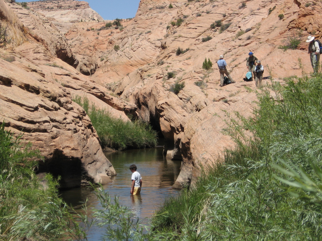
When we reached the creek, we split up. My dad would fish for a while, and Mielissa and Petey would hang out with him. The rest of us would mosey down the creek, heading back for camp.
![[p/img_0266.jpg]](p/img_0266.jpg.medium)
|
A steep spot in the “trail” down the creek. |
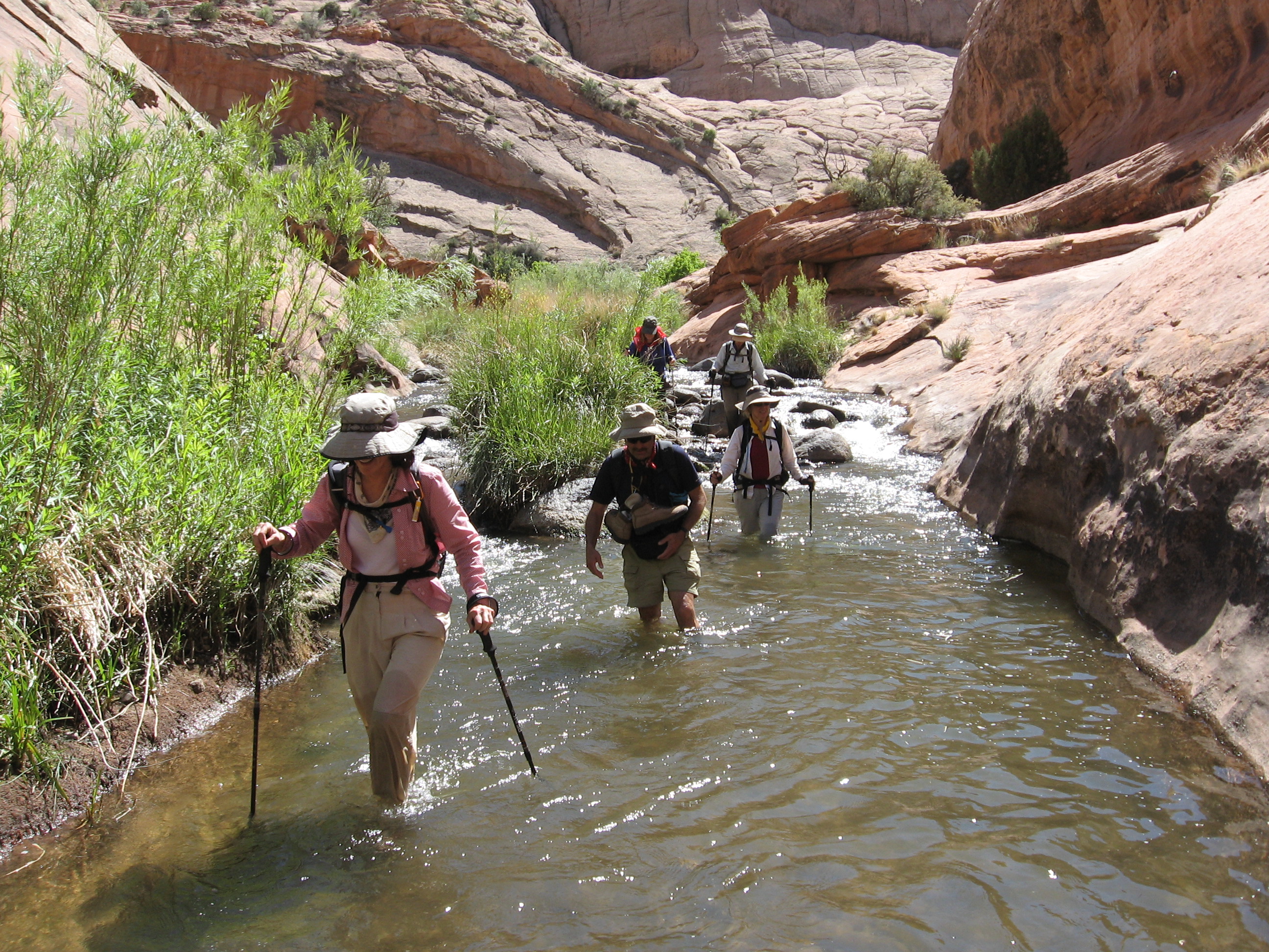
The first part of the walk down the canyon was dry. We stopped at a beach and splashed in the water. Part of the beach was swarming with ants. I chose this location to sit and take off my shoes.
When we were done swimming, we optimistically put boots back on, but only a few hundred yards downstream we were forced back into water shoes and waded along. The scenery was fantastic.
![[p/img_0270.jpg]](p/img_0270.jpg.medium)
|
Ten years ago, I camped here with the Boy Scouts. (Trip report available.) |
![[p/img_0272.jpg]](p/img_0272.jpg.medium)
|
Hiking down Boulder Creek. |
![[p/img_0277.jpg]](p/img_0277.jpg.medium)
|
Dennis trying to keep his poor pantsies dry. |
Eventually we reached a spot where we might get up and out and travel dry back to camp. Wading in the stream was great, but it was starting to get old. Dave, intrepid as usual, went up to scout the route. Several minutes later the word came back on the radio: “It goes!”.
![[p/img_0294.jpg]](p/img_0294.jpg.medium)
|
Our route back up to the top. |
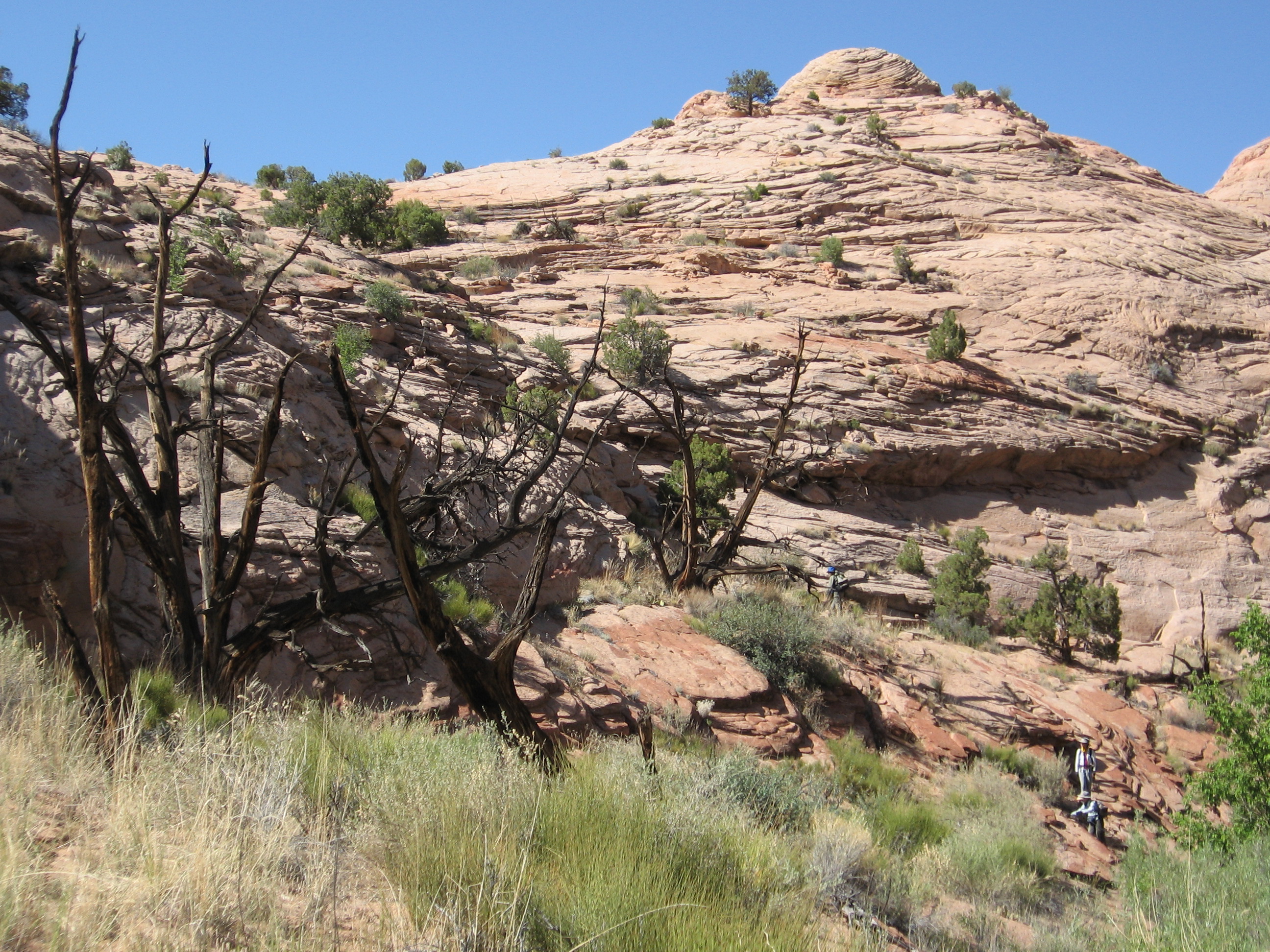
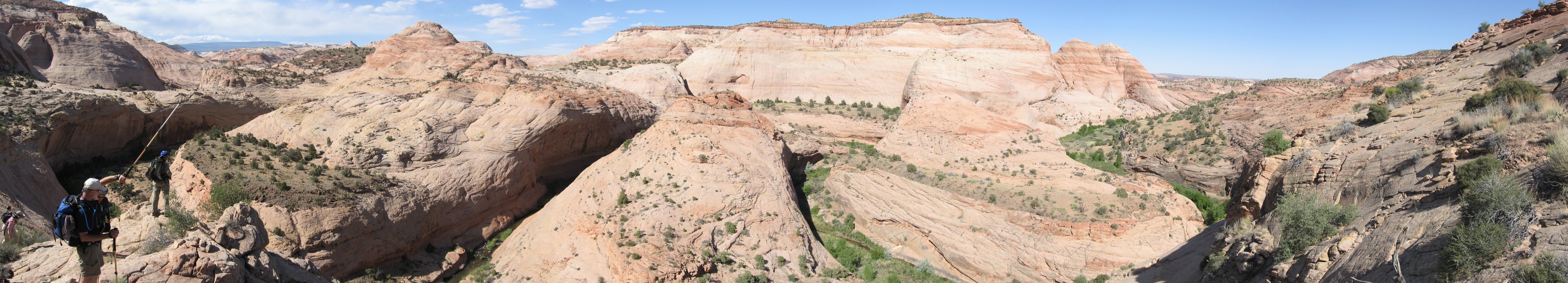
The first slope led up to an overlook of the creek that we had passed some time earlier. I went over to look, and a voice came floating up from below. There was my dad, asking if there was a way up. There was, up a gully that led right up to my spot.
![[p/img_0295_joined.jpg]](p/img_0295_joined.jpg.medium)
|
|
Lower Boulder Creek. It took us 45 minutes to go around the meander in the center-left of this panorama. |
Once out of the Boulder Creek canyon, we found ourselves on the sloping slickrock that formed the foot of “River”. The route-finding was complex — we had to pick our way down and across a rolling slickrock slope with a big drop at the bottom. Dave did a great job of route finding, though, and we made it all in one piece.
![[p/img_0301.jpg]](p/img_0301.jpg.medium)
|
Jackie on the traverse over the foot of “River”. |
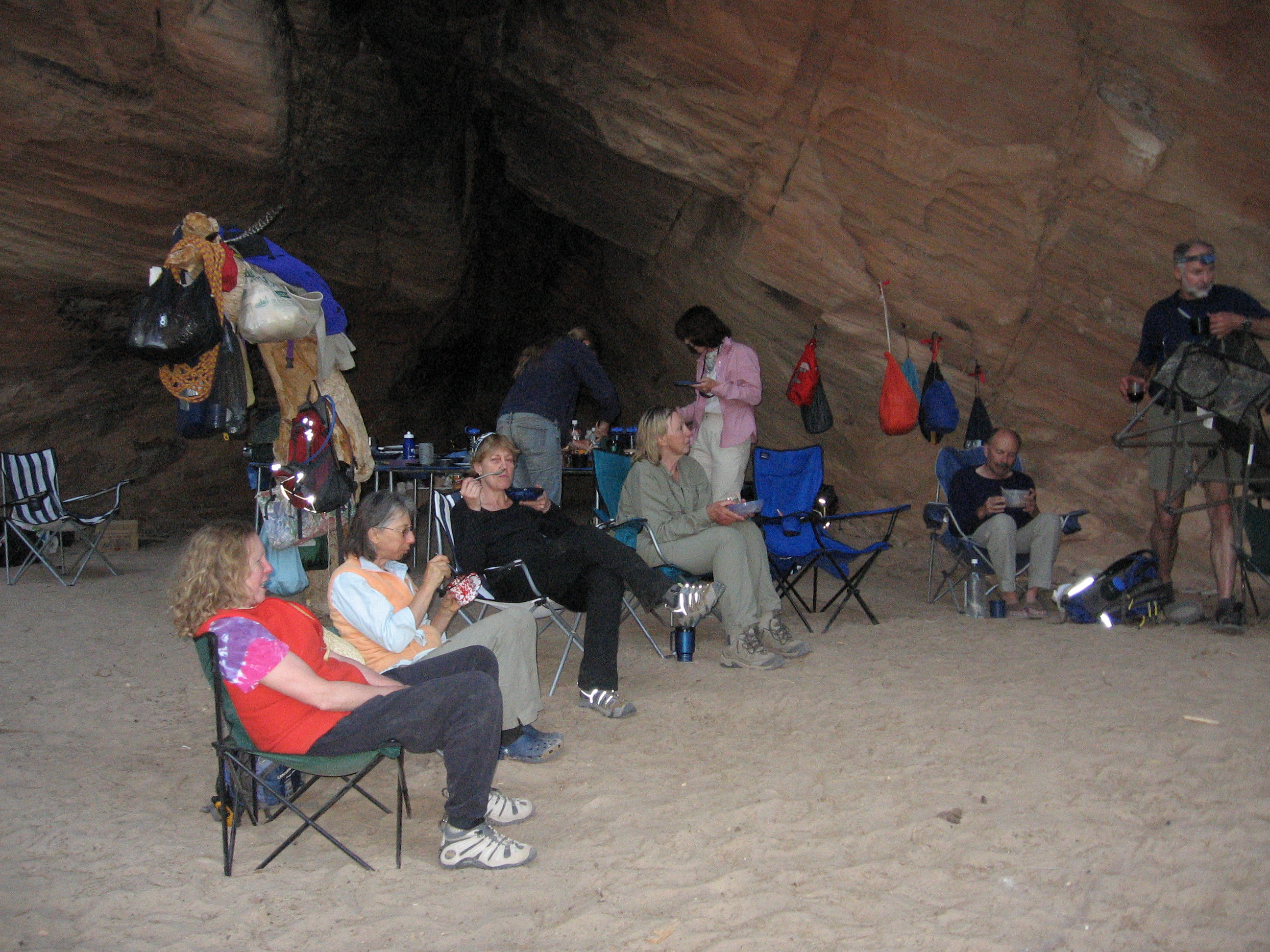
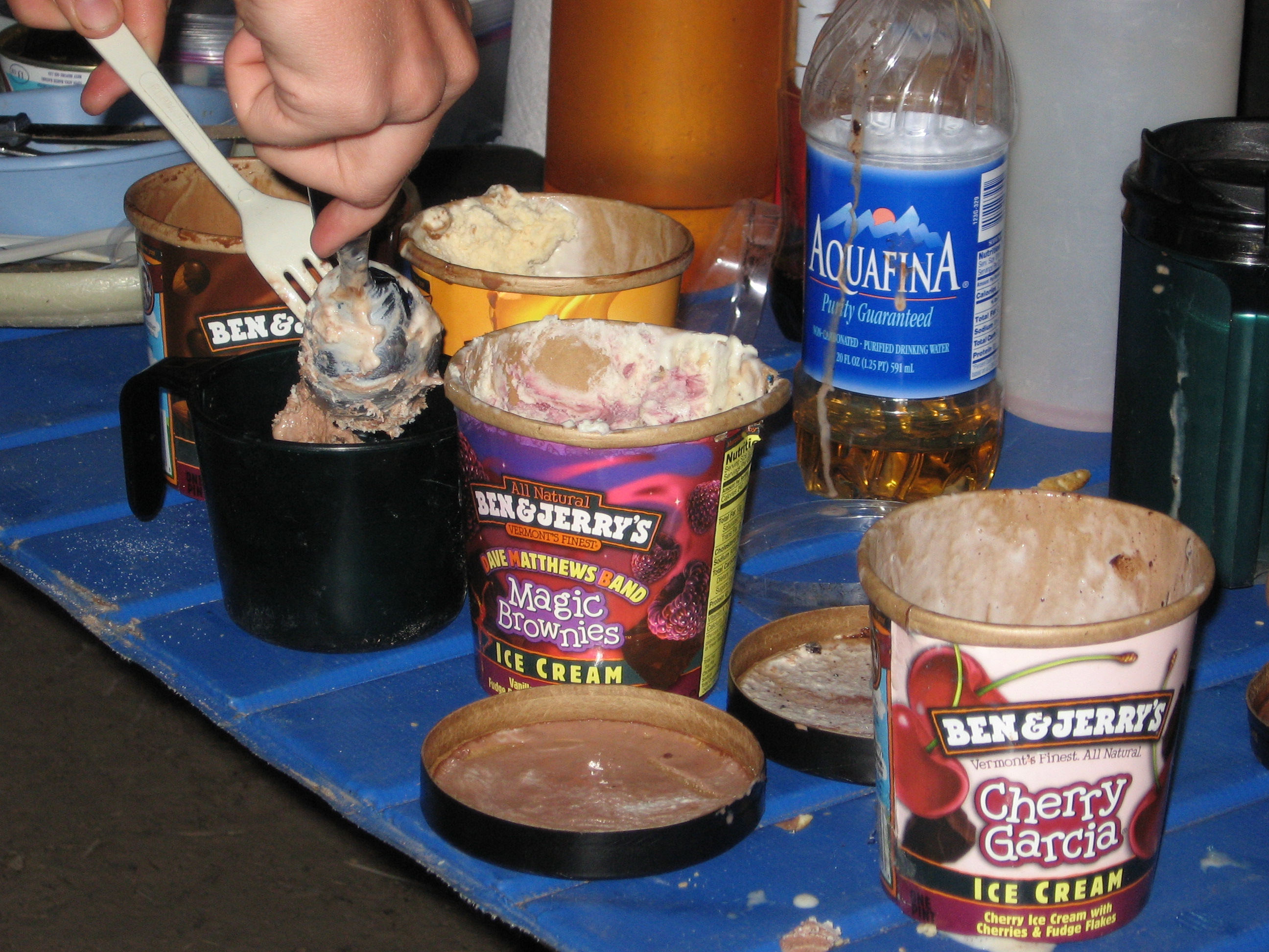
Back in camp, we discovered what Dave’s mysterious object was: frozen steaks with shrimp sauce! He and Kim had brought a cooler full of dry ice and steak. Quite a feast. But even better was dessert...
![[p/img_0305.jpg]](p/img_0305.jpg.medium)
|
Mmm, dessert. |
![[p/img_0307.jpg]](p/img_0307.jpg.medium)
|
We all scream for ice cream! |
Yes, for dessert Dave produced not one, not two, not three, but six pints of still-frozen Ben & Jerry’s ice cream!
As usual, bedtime brought out my creature, whatever it was.
Please continue reading on Day 4.