Lake Powell Adventure 2006 – Day 6
Synopsis: Morning dayhike, then motor to Camp V at the Waterpocket Fold, then dayhike up the Fold. (Friday, November 24.)
In the morning, we went out for a short explore of the rocks near camp. There was a triple arch, and we wanted to climb up to it.
![[maps/hiking-iv.jpg]](maps/hiking-iv.jpg.medium)
|
Map of our Cottonwood Canyon hikes. Today’s was the short, squiggly hike near camp. |
![[pr/img_0330.jpg]](pr/img_0330.jpg.medium)
|
Remains of my multi-megawatt tumbleweed bonfire. The large cleared area (which extends behind the tamarisk to the wash heading towards the camera) was totally choked with tumbleweeds before I cleared them into a pile. |
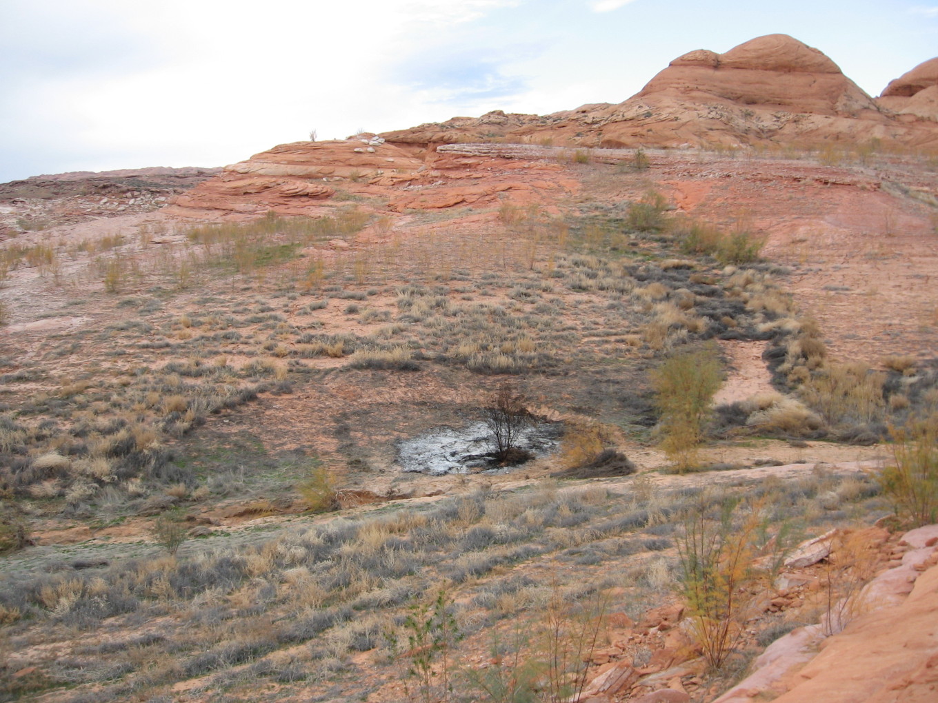
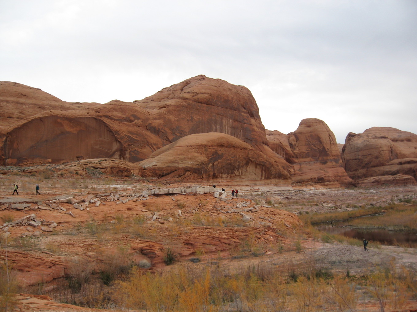
![[pr/img_0331.jpg]](pr/img_0331.jpg.medium)
|
Leaving the boat. The high point in this photo is what some of us later climbed. |
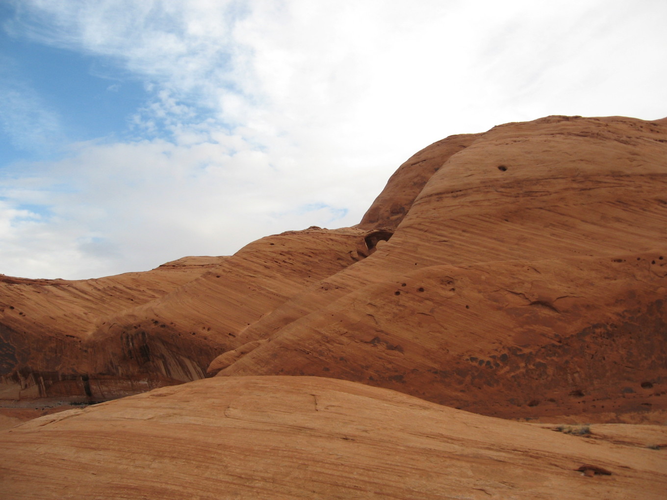
![[pr/img_0334.jpg]](pr/img_0334.jpg.medium)
|
Multiple arch we were trying to reach. |
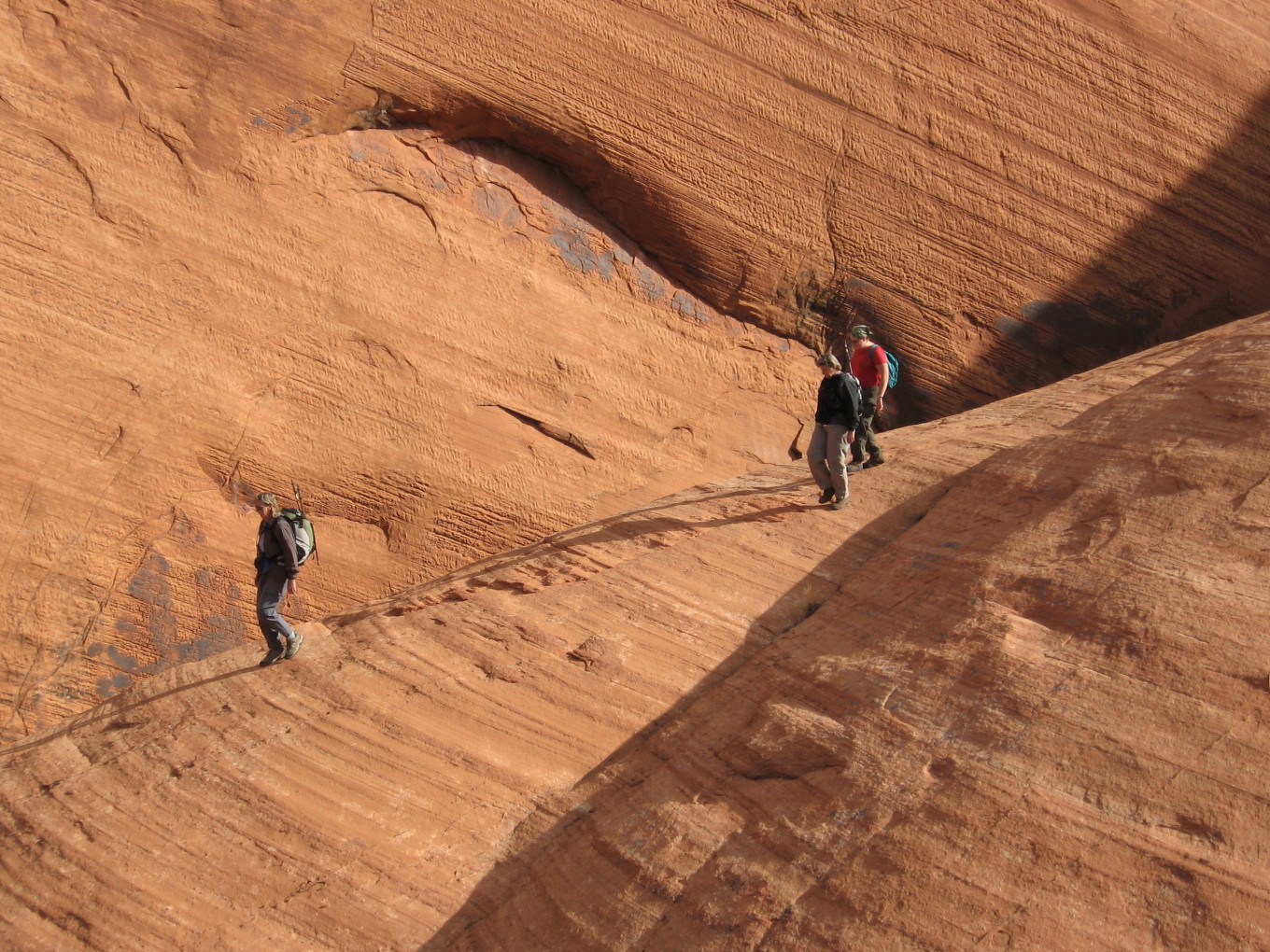
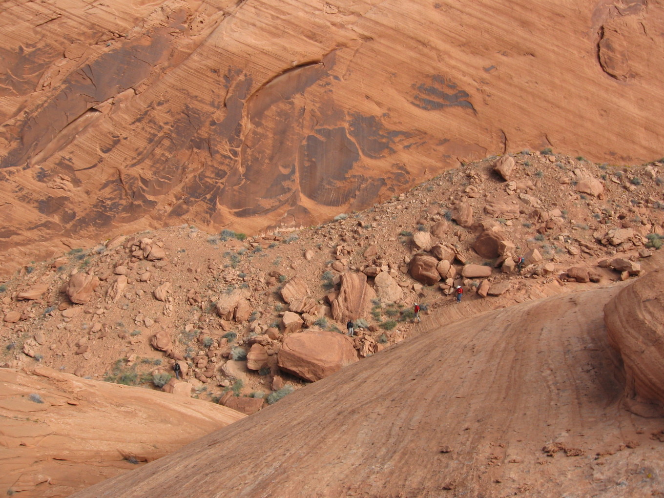
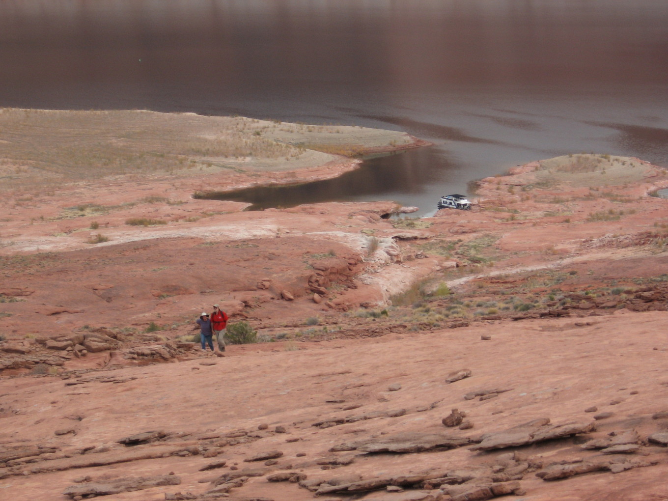
We wandered in and out of canyons, but it was soon clear that we couldn’t reach the arch. We headed up a nearby ridge for a view instead.
![[pe/holeinrock.jpg]](pe/holeinrock.jpg)
|
|
Our camp, the Kaiparowits Plateau, and Hole-In-The-Rock.
Photo by Erin Tatge. |
Several of us (including Erin and me) stopped partway up because it was too scary, but reportedly the view was very fine.
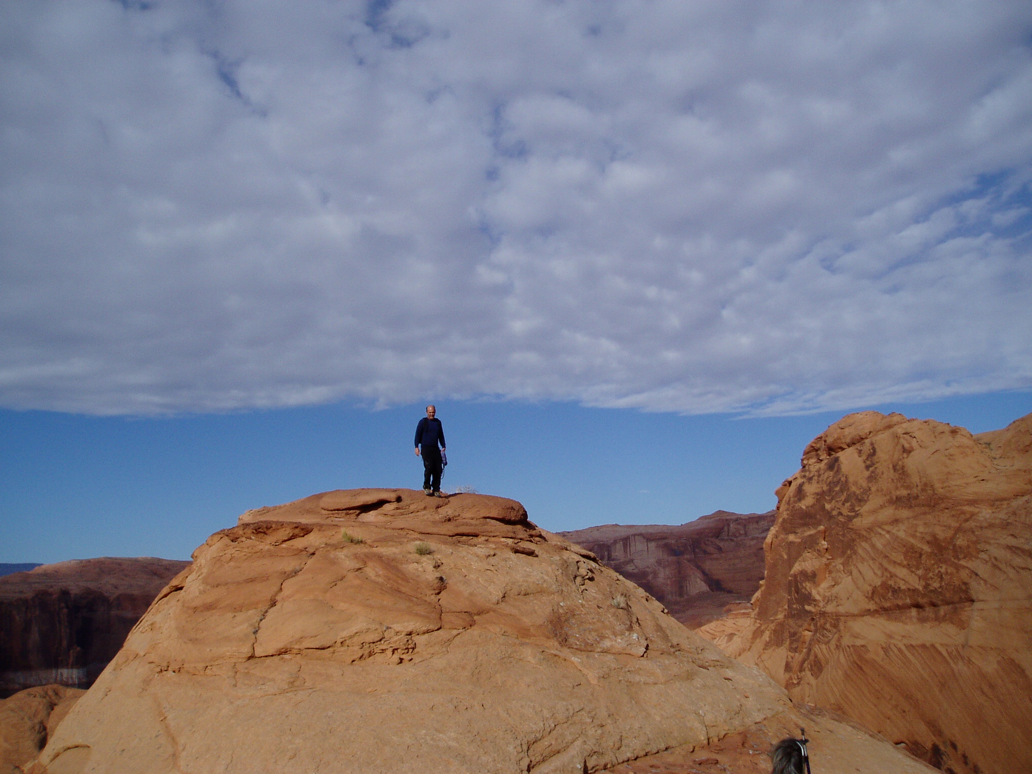
![[pw/pb230117.jpg]](pw/pb230117.jpg.medium)
|
Karl at the summit.
Photo by Bill
Priedhorsky. |
![[pk/PB240007.jpg]](pk/PB240007.jpg.medium)
|
Dad, Karl, and lots of Cottonwood Canyon.
Photo by Kathleen Gruetzmacher. |
![[pr/img_0337.jpg]](pr/img_0337.jpg.medium)
|
Descending back towards camp. |
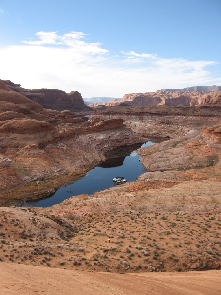
![[pr/img_0341.jpg]](pr/img_0341.jpg.medium)
|
Our houseboat and the fabulous canyon country beyond. |
![[pr/img_0343.jpg]](pr/img_0343.jpg.medium)
|
I’ll take the high road, you take the low road... Karl and I were so busy watching the others and admiring the view that we missed the way down from this ridge and had to backtrack. |
We piled into the houseboat and headed back north.
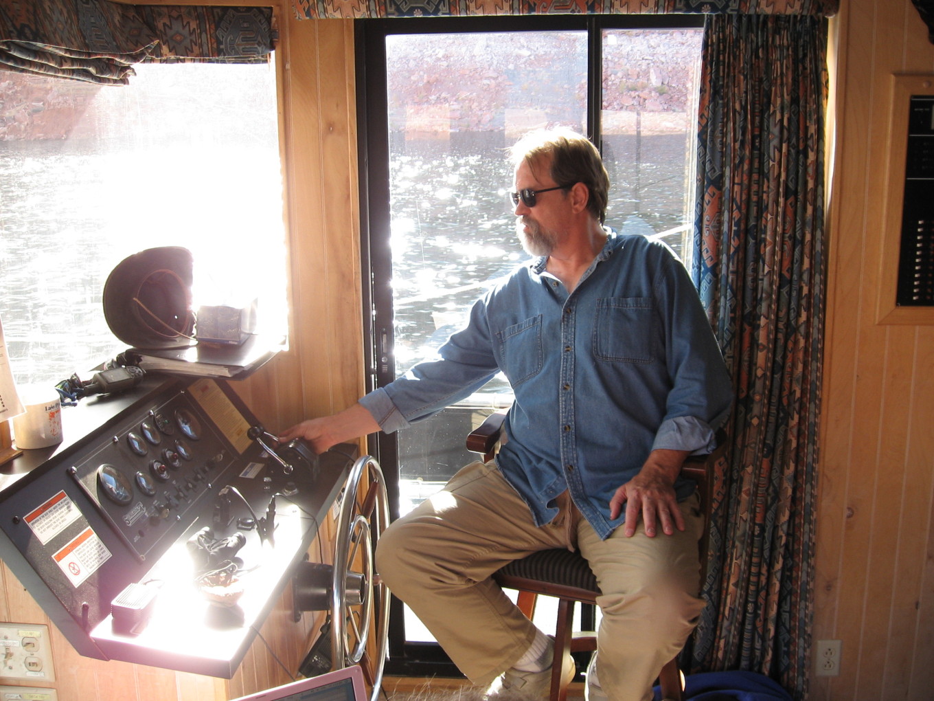
![[pr/img_0349.jpg]](pr/img_0349.jpg.medium)
|
First Mate Bill K. at the helm. |
![[pe/img_0068.jpg]](pe/img_0068.jpg.medium)
|
Impending doom. |
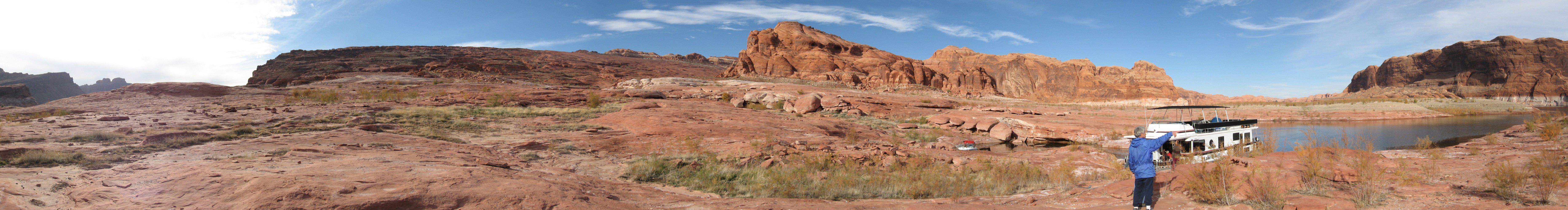
We stopped at the Waterpocket Fold with only a couple of hours of light left, so we quickly packed and headed up.
![[pr/img_0354_joined.jpg]](pr/img_0354_joined.jpg.medium)
|
|
Camp and the massive Waterpocket Fold beyond. This monocline begins here and snakes more than 100 miles northward. |
![[maps/hiking-v.jpg]](maps/hiking-v.jpg.medium)
|
Map of dayhiking at the Waterpocket Fold. Today’s hike was the one westward from camp. |
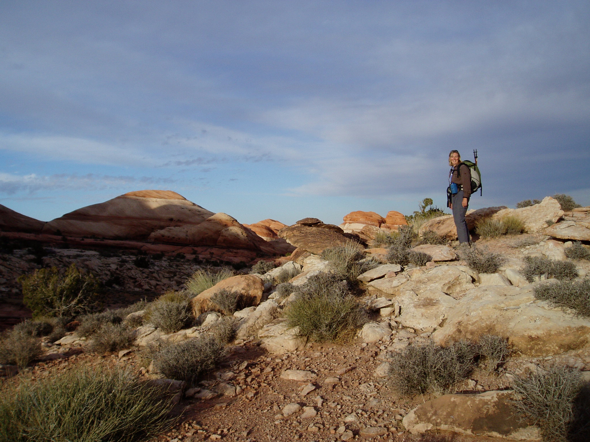
![[pr/img_0367.jpg]](pr/img_0367.jpg.medium)
|
Melissa and my dad ascending from camp. |
![[pr/img_0366.jpg]](pr/img_0366.jpg.medium)
|
Tilted rock layers. Mount Ellsworth is visible in the background. |
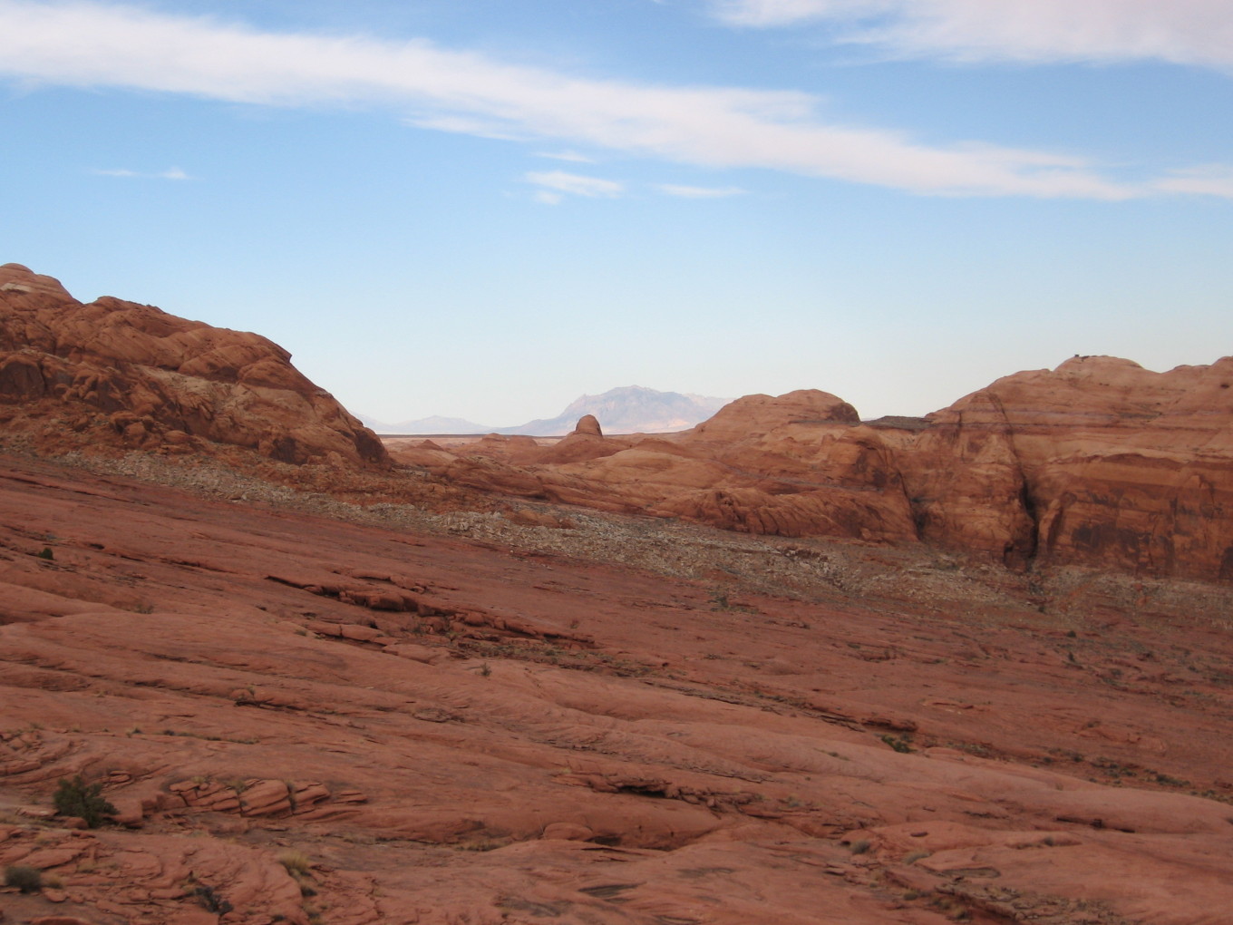
![[pr/img_0365.jpg]](pr/img_0365.jpg.medium)
|
Karl silhouetted at a false summit ahead. |
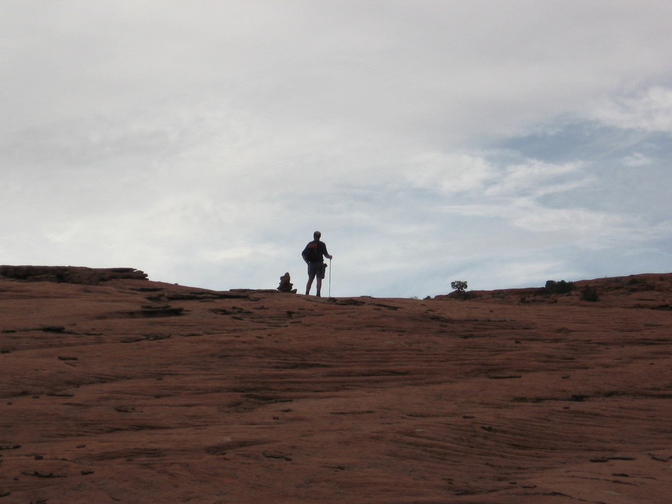
![[pw/pb240134.jpg]](pw/pb240134.jpg.medium)
|
Kathleen on top of the Fold.
Photo by
Bill Priedhorsky. |
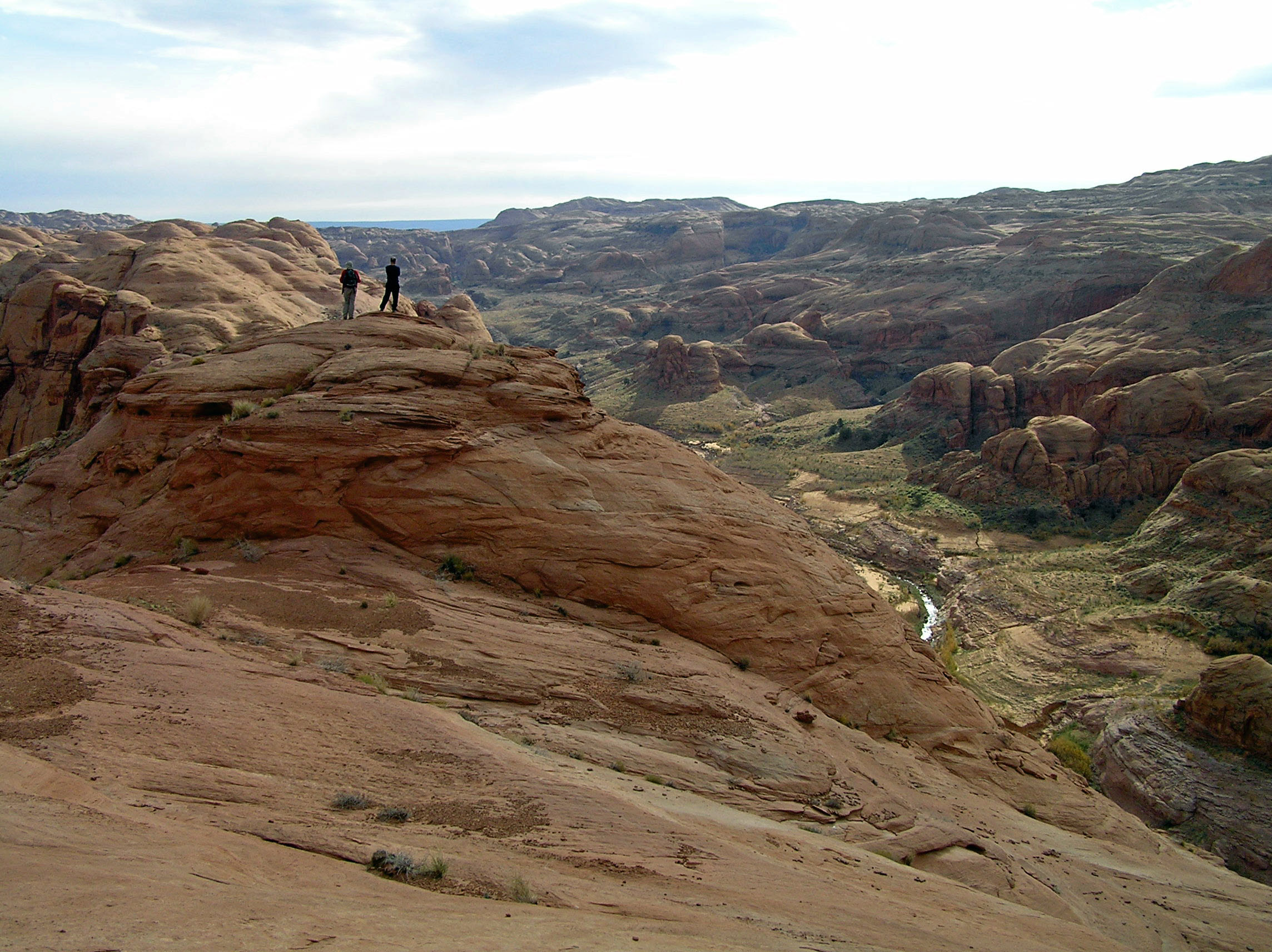
At the top of the Fold was a wide plain dotted with scraggly bushes. Erin, Petey, and I climbed up a final lobe of rock and found awesome views, the best of the trip in my opinion.
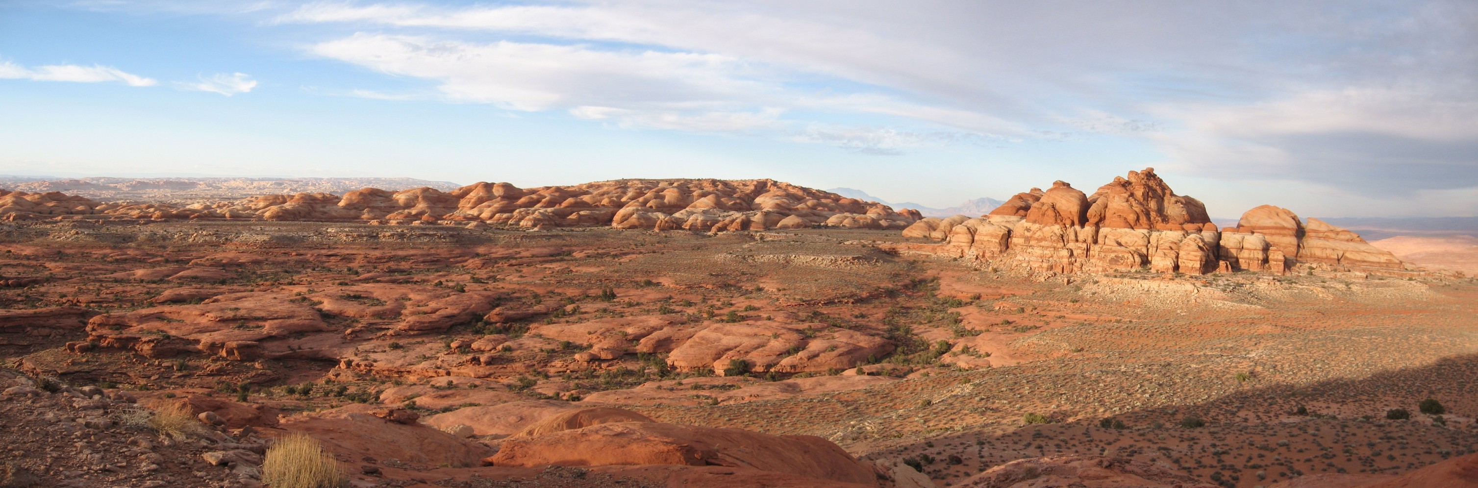
![[pr/img_0373_b_joined.jpg]](pr/img_0373_b_joined.jpg.medium)
|
|
Looking southeastward from our little summit, with The Rincon and Navajo Mountain at center. |
![[pe/img_0071.jpg]](pe/img_0071.jpg.medium)
|
Brothers. |
![[pe/lakepowell.jpg]](pe/lakepowell.jpg)
|
|
Escalante Country.
Photo by Erin
Tatge. |
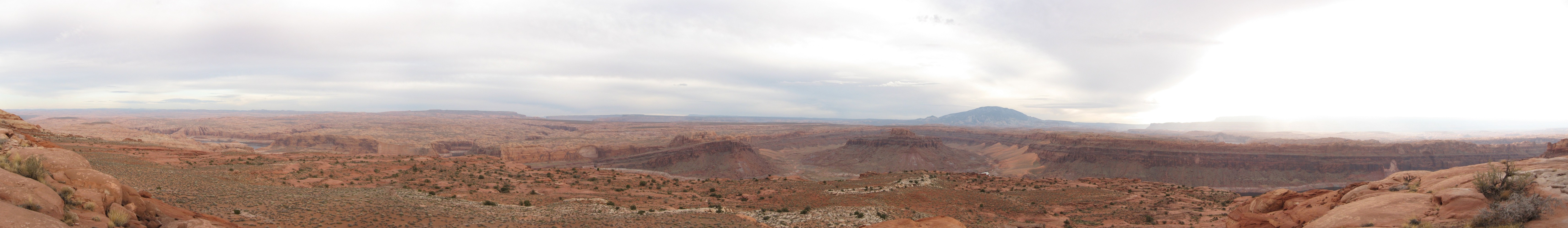
![[pr/img_0391_joined.jpg]](pr/img_0391_joined.jpg.medium)
|
|
Looking roughly northward, along the line of the Waterpocket Fold. |
![[pr/img_0397_joined.jpg]](pr/img_0397_joined.jpg.medium)
|
|
Sunset over the Waterpocket Fold. |
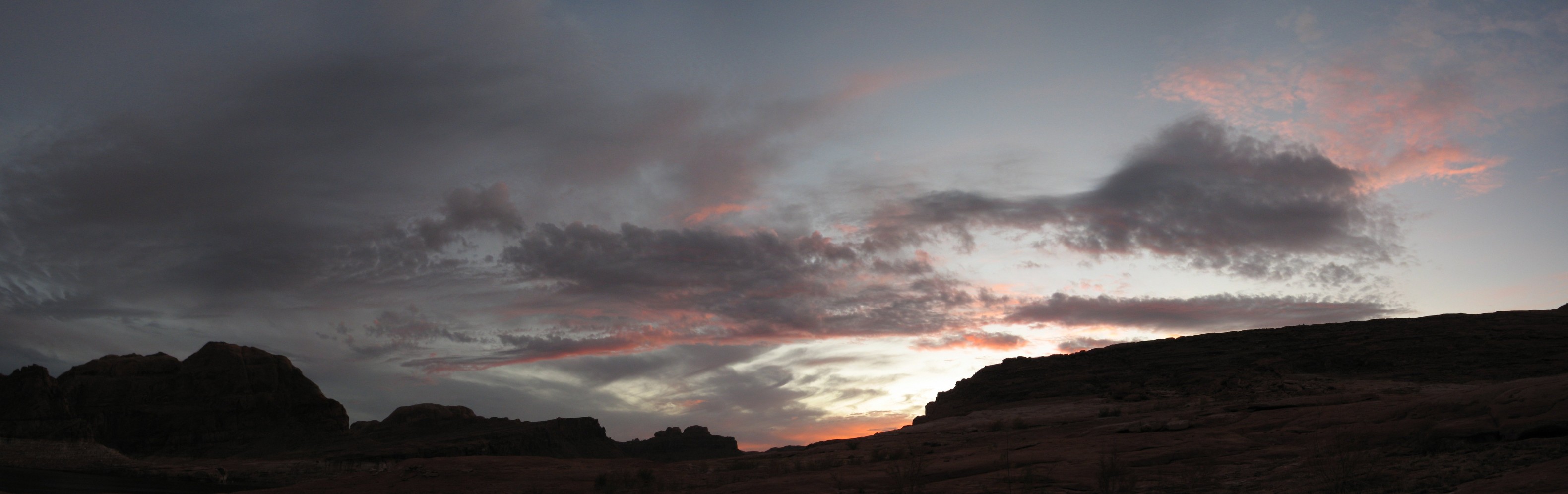
Please continue reading on Day 7.